Getting free information
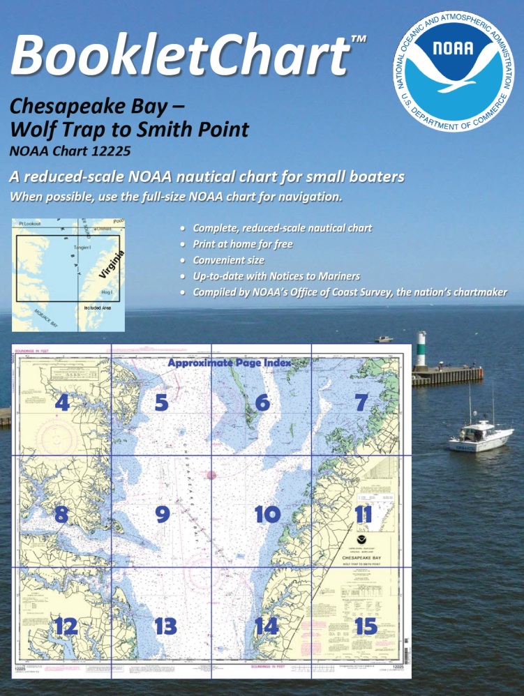
One of NOAA’s handiest navigation products, especially for recreational boaters, has been Coast Survey’s experimental BookletCharts™ — nautical charts that are easy to download and print from home computers. We have now moved the BookletCharts from experimental stage into official production.
 Nearly a thousand newly updated BookletCharts are available free on the Web. The BookletCharts, which cover the 95,000 miles of U.S. coastline and the Great Lakes, are smaller scale than our traditional paper charts, but they contain most of the information found on a full-scale nautical chart. They are in an 8 1/2 x 11 inch PDF format for home printing.
“It is especially appropriate that we unveil these easy-to-use nautical charts as recreational boaters begin to think about their boating adventures for 2013,” explained Capt. Jon Swallow, chief of NOAA Coast Survey’s Navigation Services Branch. “NOAA’s nautical charts help to protect lives and property, and boaters should take advantage of these free nautical products.”
Continue reading “Recreational boaters get – and give – free nautical information”
