By David McIntire, survey technician, Coast Survey Navigation Response Team 4
Down East Maine. For many, this conjures up imagery of rugged, fog-enshrouded coastline carved for centuries by relentless waves and violent nor’easters, where quaint fishing villages and misty lighthouses hug the shoreline, inhabited by hardy mariners who for generations have braved fierce storms and unimaginable winters to make a living where land and sea meet in perhaps the most spectacular way. Yet this is only part of the story where a nostalgic past embraces an innovative future. Eastport, Maine is no exception and NOAA’s Office of Coast Survey is proud to partner in that endeavor.
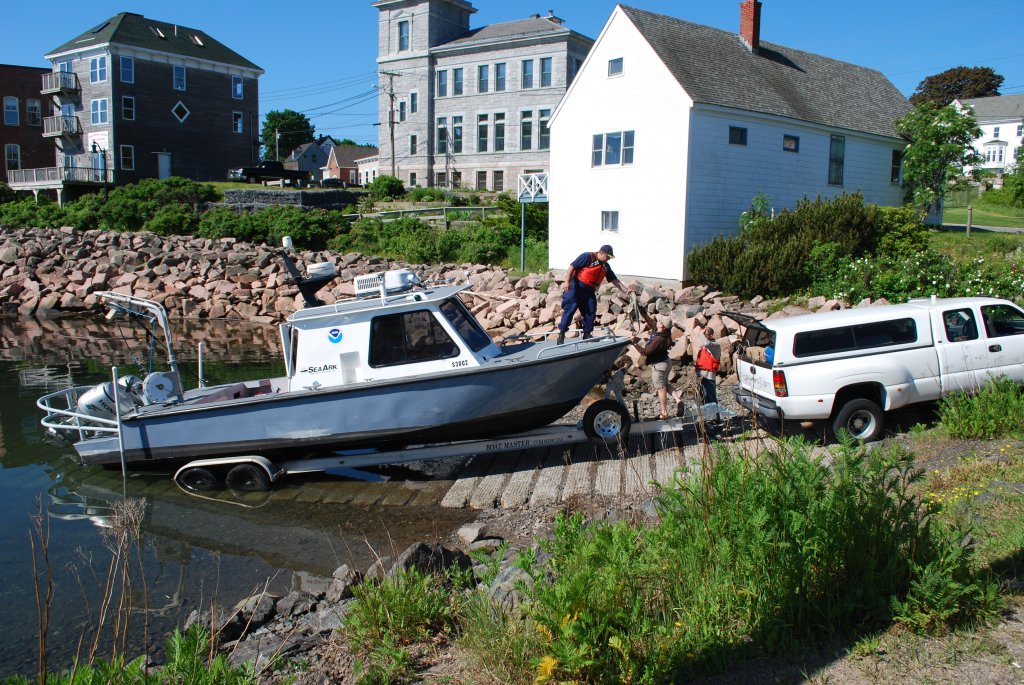
Fishing has been the lifeblood of Eastport’s economy for generations and, despite the influx of tourism in recent decades, many Down East families still derive their income from the sea. This may sound quaint and romantic, until you realize that the Bay of Fundy is not the idyllic, placid water of postcards and paintings. With tides ranging nearly 30 feet every few hours, inlets become rife with ripping currents as the back bays fill and empty through these narrow, rocky channels. It is within this treacherous environment that the local commercial fishermen risk their lives – and, over the past decade, a number of them have paid the ultimate price.
Continue reading “Surveys for Maine fishing community buttress new energy technology”

News and Updates