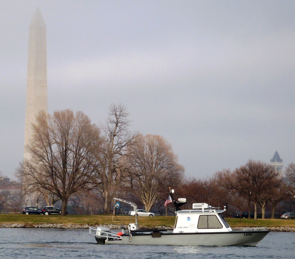
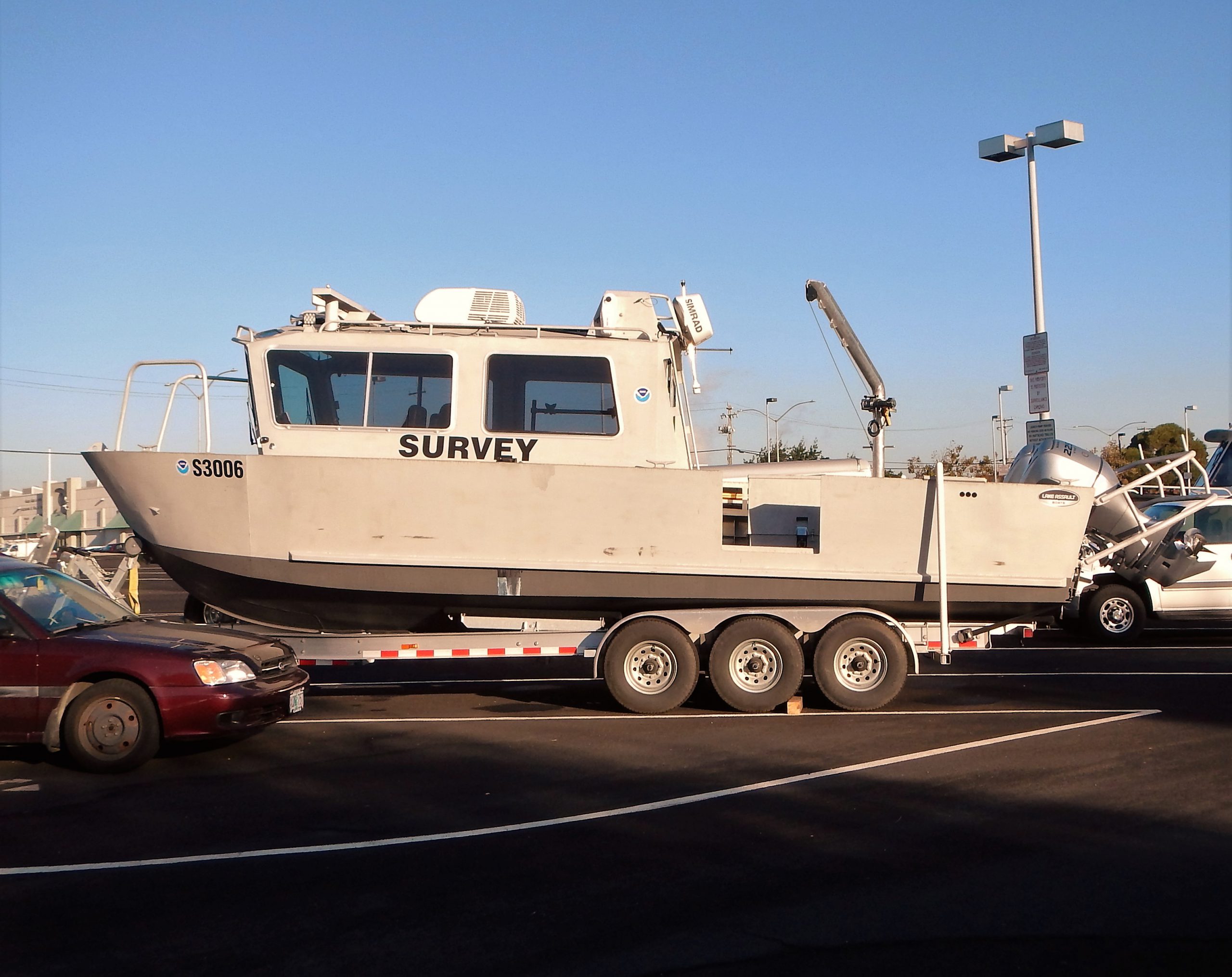
To a marine pilot looking forward to a long-awaited nautical chart update, a white NOAA survey ship “mowing the lawn” of the approaches to a port is a gorgeous site. The ship slowly moving back and forth, collecting hydrographic data from the ocean floor, is easily recognizable.
Less well known are Coast Survey’s smaller survey vessels, operated by navigation response teams (NRTs) situated strategically along the U.S. coasts. These vessels are hard worked by two- or three-member teams of physical scientists and technicians who must know everything about the vessel, the specialized survey equipment, and the science of collecting and processing data. On top of all that, they must be expert sailors.
Continue reading “New small survey boats for hard working navigation response teams”
Coast Survey supports inauguration preparations
It was an honor to assist with preparations for the Presidential Inaugural. Our assistance, provided before the event, was a combined effort by one of our navigation response teams, survey technicians, cartographers, and several NOAA officers. Coast Survey’s work was additionally supported by colleagues at NOAA’s Center for Operational Oceanographic Products and Services.

For more about navigational planning for the Potomac River, see Coast Guard to establish security zone for the presidential inauguration.
Finding WWII wrecks at sea, now and then

How do ocean explorers know where to look when they investigate and document the historical secrets of the deep? Well, archaeological expeditions use a myriad of modern surveying technologies. Recently, when NOAA’s Monitor National Marine Sanctuary was investigating a World War II underwater battlefield site, they called on a surveying expert with NOAA’s Coast Survey to assist.
Continue reading “Finding WWII wrecks at sea, now and then”

