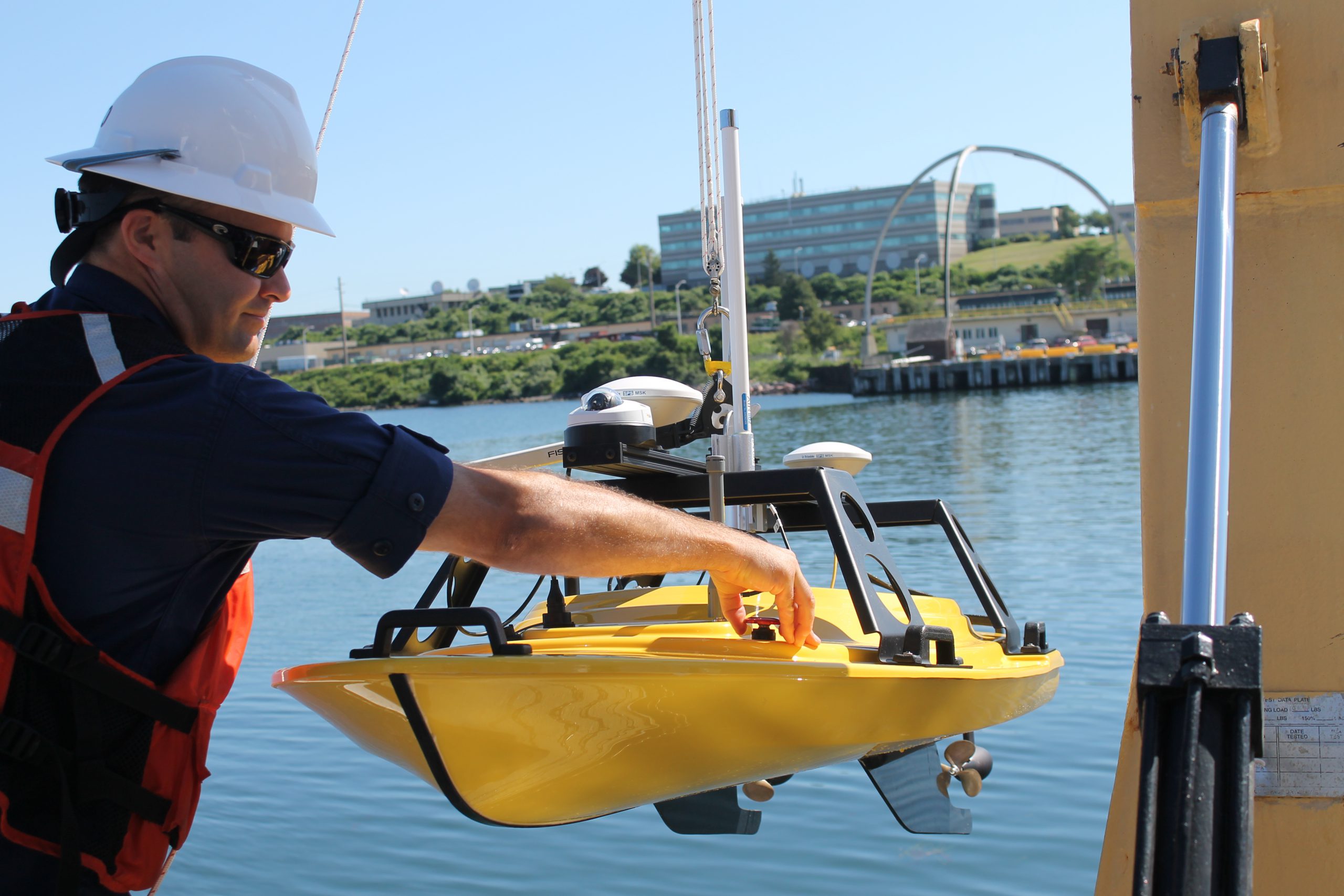
If you look closely at any U.S. coastal nautical chart, you’ll likely find that the areas closest to the shore, shoals, and rocks do not have updated depth measurements. In many areas, safety concerns prohibit the use of NOAA ships or launches to survey the shoalest depths. In many areas, the water is too murky to be mapped with the airborne lidar systems used in clear waters. Now, however, charting those shallow areas is about to get safer, thanks to recent purchases of small, commercial off-the-shelf, unmanned surface vehicles.
This summer, NOAA Ship Thomas Jefferson will deploy a “Z-Boat,” offered by Teledyne Oceanscience out of Carlsbad, California.
Continue reading “New unmanned surface vehicles to deliver shoaler depth measurements for NOAA nautical charts”

News and Updates
