 An
official website of the United States government.
Here's how you know we're official.
An
official website of the United States government.
Here's how you know we're official.
An
official website of the United States government.
Here's how you know we're official.
An
official website of the United States government.
Here's how you know we're official.
Enabling Smarter and Safer Acquisition of Shoreline Features
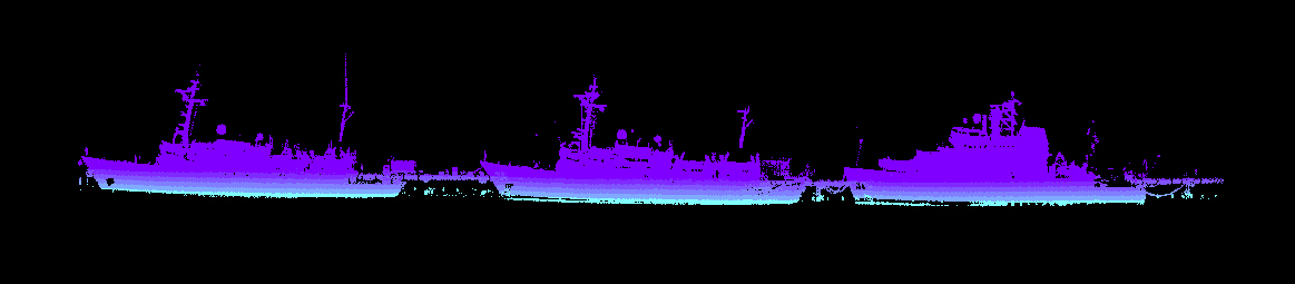
 Lidar point cloud depicting Whaleback Light, Kittery Point, Maine.
The applications of lidar (Light Detection and Ranging) systems are wide-ranging, enabling everything from high-resolution mapping to the control and navigation of self-driving vehicles. NOAA's Office of Coast Survey uses lidar-derived bathymetry for charting applications where available, and investigates the use of lidar systems for the acquisition and determination of shoreline features. The goal is to explore how vessel-mounted laser scanning systems can increase the accuracy of feature data for application to NOAA's navigation products, as well as the safety and efficiency of data acquisition by NOAA hydrographic survey personnel.
Benefits to Office of Coast Survey
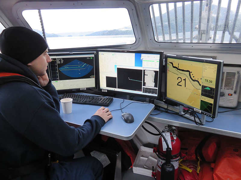 Performing laser scanner operations on a hydrographic survey launch.
Potential Benefits to Customers and Stakeholders
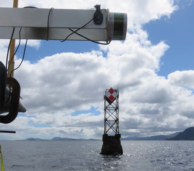 Performing laser scanner operations on a hydrographic survey launch.