
From surveying our most northern Alaskan waters last year, to our southern coastal waters this year, NOAA Ship Fairweather has really been making the hydrographic rounds, so to speak. This month, Fairweather’s hydrographic work is reaping benefits for the maritime industry in Los Angeles and Long Beach.
Fairweather is surveying this area in response to requests from the Port of Los Angeles, the Port of Long Beach, and the pilots who maneuver increasing large oil tankers and cargo ships through the area’s crowded shipping lanes. This project will acquire data for comprehensive updates to NOAA nautical charts 18749 and 18751, which provide the depth measurements and aids to navigation that mariners rely on for safe transit. Fairweather last surveyed the area in 1975, and NOAA contracted for a small survey in 2000.
Continue reading “NOAA Ship Fairweather surveying ports of Los Angeles and Long Beach for shipping safety”
NOAA Ship Rainier + enthusiastic students = future hydrographers?
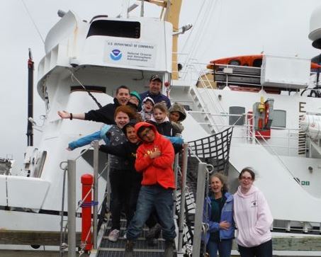
On September 13, NOAA Ship Rainier began surveying Cold Bay, its fourth project of the summer. Cold Bay is a small town on the Aleutian Peninsula approximately 540 miles southwest of Anchorage, Alaska. The town currently has approximately 88 full-time residents and boasts an airport with one of the longest runways in Alaska.
Continue reading “NOAA Ship Rainier + enthusiastic students = future hydrographers?”
Bathymetric AUV shows promise for NOAA surveying
In a step towards greater efficiency in NOAA’s hydrographic surveying, experts onboard the NOAA Ship Ferdinand R. Hassler just wrapped up the first extended testing of Coast Survey’s new bathymetric mapping autonomous underwater vehicle (AUV). From Sept 3 to 13, the vehicle completed ten missions lasting up to 16 hours during day and night, while the ship continued with its assigned hydrographic surveys in the approaches to Portsmouth, New Hampshire.
This AUV is equipped with high resolution seabed mapping equipment similar to the ship’s, including a high accuracy positioning system and multibeam echosounder capable of producing seamless maps of the seafloor.
Continue reading “Bathymetric AUV shows promise for NOAA surveying”