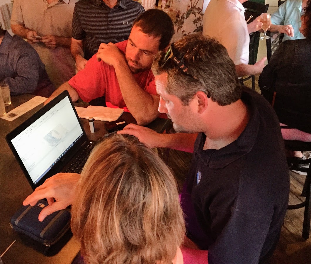
Coast Survey is in a constant conversation with chart users, marine electronics firms, and maritime officials, listening to the ideas and observations of the people we serve. We want to hear from you!
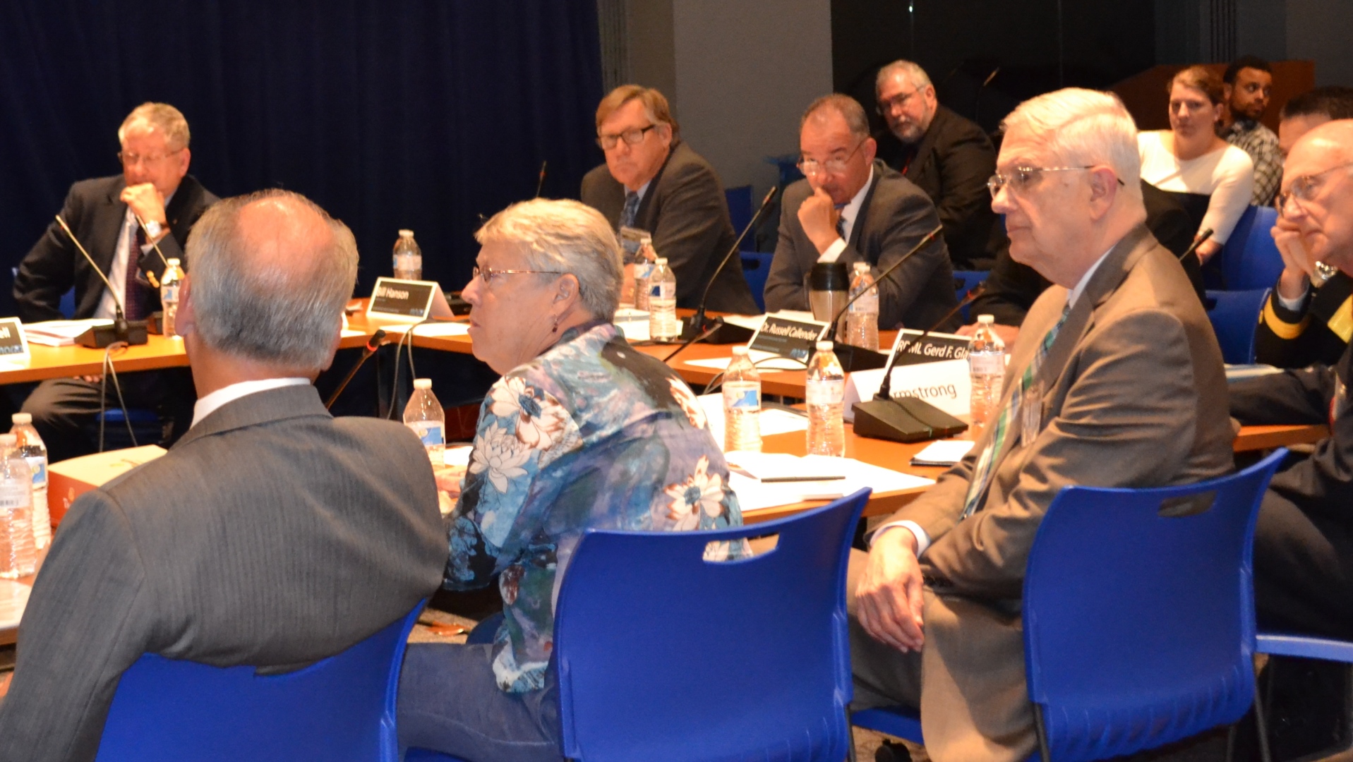
There are several ways to make a request or suggest an improvement to Coast Survey’s navigational products. You can let us know about a chart discrepancy. You can ask a question online, or call us at 888-990-6622. You can meet with one of our regional navigation managers who are stationed around the U.S. coasts. Or, you can get involved through the Hydrographic Services Review Panel, a federal committee – with public members – who interact with NOAA experts and advise the NOAA administrator. Continue reading “NOAA wants to learn from you”
Coast Survey joins Florida to survey sensitive site
One of Coast Survey’s navigation response teams (NRT) recently responded to a request by the State of Florida, who needed help surveying a submerged prehistoric archaeological site located offshore of Sarasota County. Last week’s survey and investigation were necessary to map the full extent of the site and the surrounding area. Continue reading “Coast Survey joins Florida to survey sensitive site”
Collaborative effort to create new nautical chart returns recreational boaters to Haverhill, Massachusetts
NOAA’s Office of Coast Survey released a new electronic navigation chart (NOAA ENC®) of Haverhill, Massachusetts, and the Merrimack River (US5MA1AM). With this new chart, recreational boaters now can safely navigate the Merrimack River from the entrance at Newburyport all the way to Haverhill, just in time for boating season.
Haverhill is a historic New England town that has recently undergone an urban renewal with new federal, state, and private investment in the downtown and waterfront areas. Until now, this area of the river was not depicted at an appropriate scale on a nautical chart for recreational boaters to navigate safely. The community of Haverhill recognized the importance of recreational boaters to their local economy and led a grassroots effort to have a new chart created. Continue reading “Collaborative effort to create new nautical chart returns recreational boaters to Haverhill, Massachusetts”


