NOAA hosts third annual workshop on nautical chart adequacy

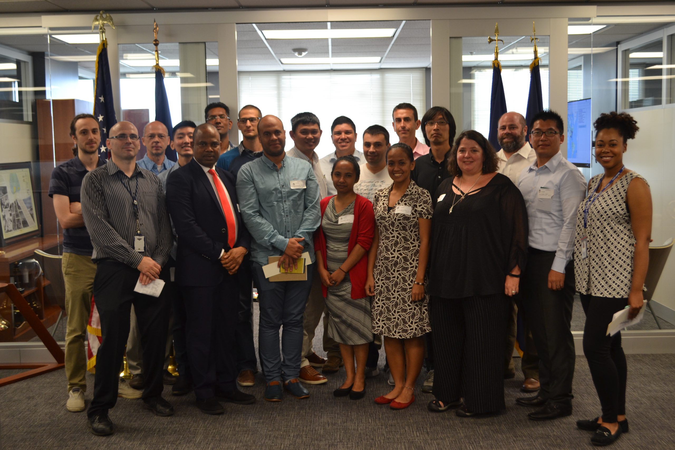
Nautical Chart Adequacy Workshop 2017 participants and instructors.

This week, NOAA’s Office of Coast Survey hosted its third annual workshop on nautical chart adequacy. Twelve students participated in the training and learned techniques to evaluate the suitability of nautical chart products using chart quality and publicly available information. This year’s workshop emphasized cartography and the ability to transfer NOAA procedures to the students’ charting products. The workshop provided a theoretical background on:

  • Chart production at NOAA
  • Review of NOAA charted symbols and abbreviations
  • Review of automatic identification systems (AIS) and satellite-derived bathymetry (SDB)
  • Overview of the chart adequacy procedure

Continue reading “NOAA hosts third annual workshop on nautical chart adequacy”

Rear Adm. Shepard M. Smith elected to chair the International Hydrographic Organization Council

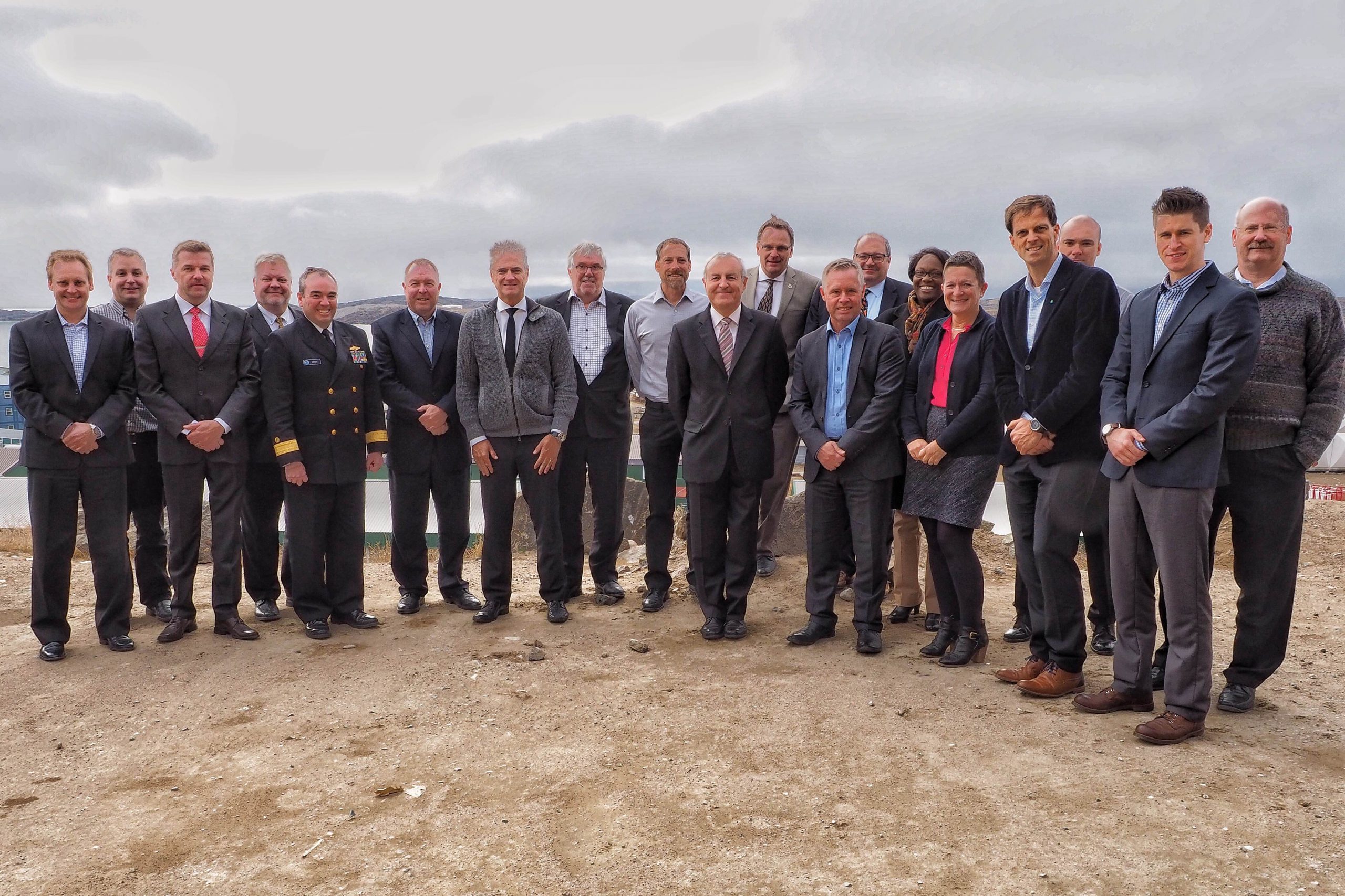
RDML Smith (fifth from left) with the Arctic Regional Hydrographic Commission (October 2016, Iqaluit, Canada).

Rear Adm. Shepard M. Smith, director of NOAA’s Office of Coast Survey and the U.S. national representative to the International Hydrographic Organization (IHO), was elected as the chair of the newly established IHO Council.
The council was established in November 2016 as a result of the adoption of amendments to the Convention on the International Hydrographic Organization. It is composed of 30 leading hydrographic nations from the membership of the IHO, and functions much like a corporate board of directors, overseeing performance management and the business side of the IHO. Continue reading “Rear Adm. Shepard M. Smith elected to chair the International Hydrographic Organization Council”

NOAA hosts first open house on nautical cartography

Over 25 posters were displayed along with NOAA current and historical nautical charts, and NOAA Chart Tile Service in NOAA’s Science Center.

NOAA’s Office of Coast Survey hosted the first NOAA open house on nautical cartography on Friday, July 7th. The event featured posters, presentations, and tours focusing on nautical cartography, highlighting the field of charting and GIS. Industry partners such as ESRI, CARIS, Fugro Palegos, Inc., and IIC Technologies, international mapping groups such as Cartography and Geographic Information Society (CaGIS) and General Bathymetric Chart of the Oceans (GEBCO), government agencies such as U.S. Army Corps of Engineers and the Navy, and many international charting offices were in attendance. The open house welcomed a total of 200 visitors, representing 24 countries. Continue reading “NOAA hosts first open house on nautical cartography”