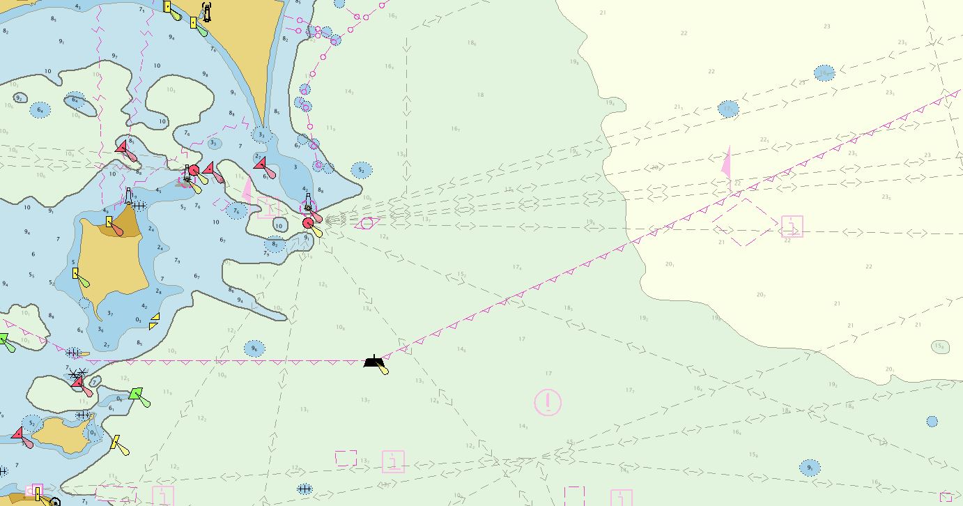
NOAA’s Office of Coast Survey collaborated with U.S. and Canadian mariners, the Lake Carriers’ Association (LCA), and the Canadian Chamber of Marine Commerce (CMC) to update the Recommend Courses in Lake Erie and transfer them from paper charts to NOAA electronic navigational charts (NOAA ENC®). This bi-national effort involved compiling and updating information for Lake Erie’s 75 routes which span both U.S. and Canadian waters. These routes cover 20 NOAA and five Canadian ENCs.
Continue reading “The Great Lakes are getting a digital upgrade”Building the National Bathymetry
By Katrina Wyllie and Glen Rice
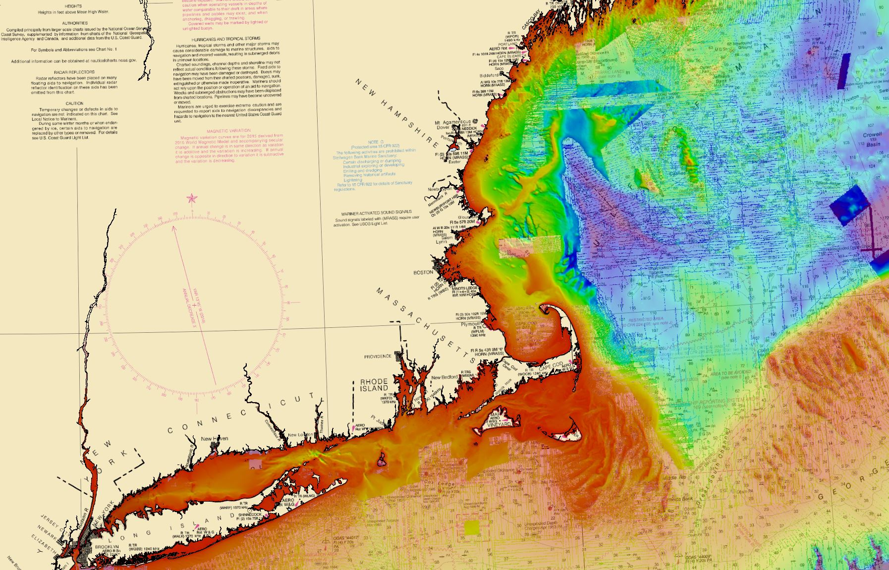
The National Bathymetric Source (NBS) project creates and maintains high-resolution bathymetry composed of the best available data. This project enables the creation of next-generation nautical charts while also providing support for modeling, industry, science, regulation, and public curiosity.
Continue reading “Building the National Bathymetry”NOAA ship readies for historic deployment to the Western Pacific to map the oceans
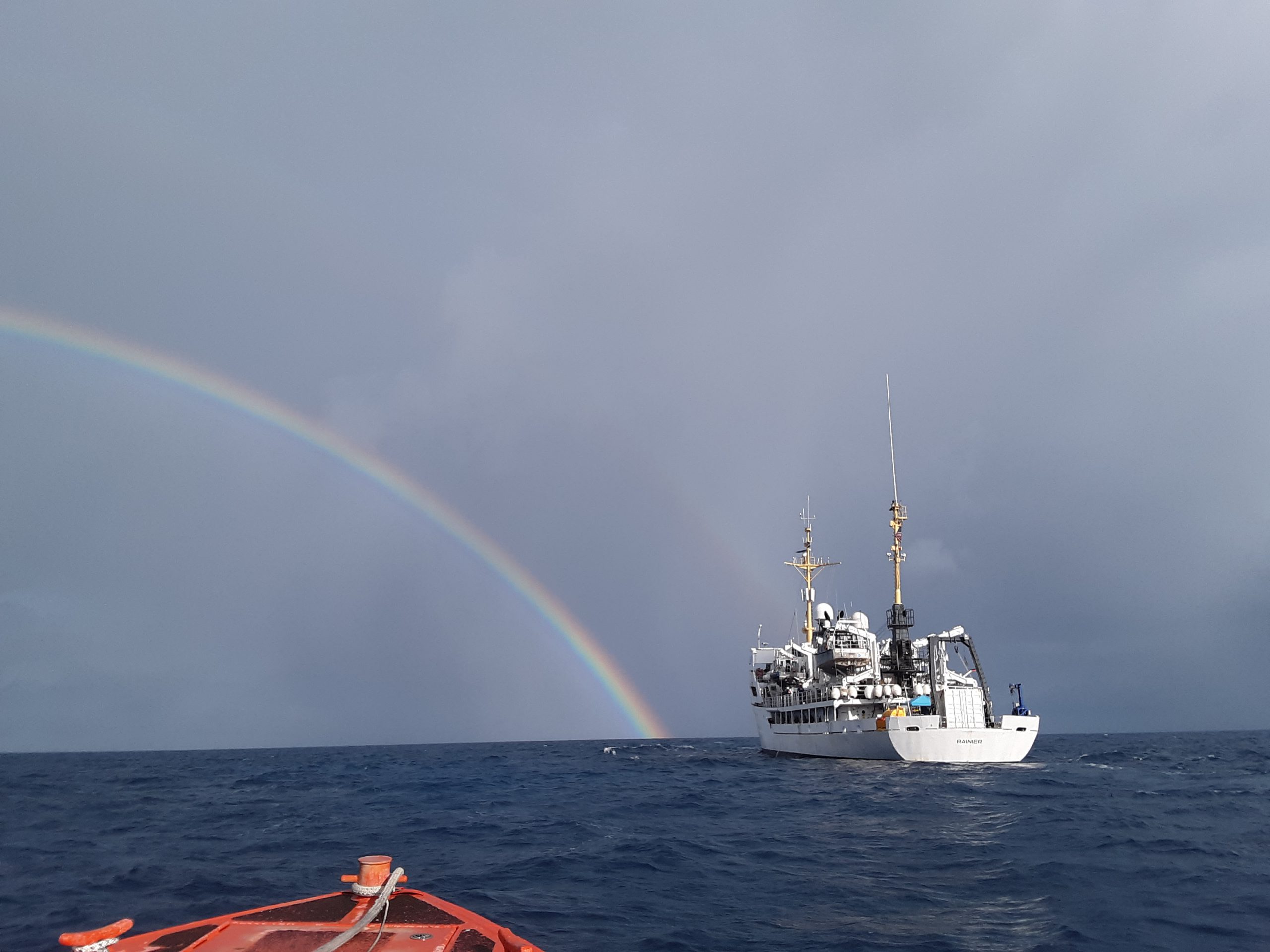
In three weeks, NOAA Ship Rainier will depart on the farthest journey of its 52-year history as it embarks on a multidisciplinary mapping trip to the Western Pacific. Rainier and a diverse team of scientists on board will map the waters from shore to almost 2000 meters deep around Guam and the Commonwealth of the Northern Mariana Islands including Saipan, Rota, and Tinian. The data and observations collected will support safe navigation, coral habitat and fisheries conservation, and storm surge and tsunamis modeling. The data will also be made available to those at the local level and contribute to the larger national and global initiatives regarding comprehensive seafloor mapping.
Continue reading “NOAA ship readies for historic deployment to the Western Pacific to map the oceans”


