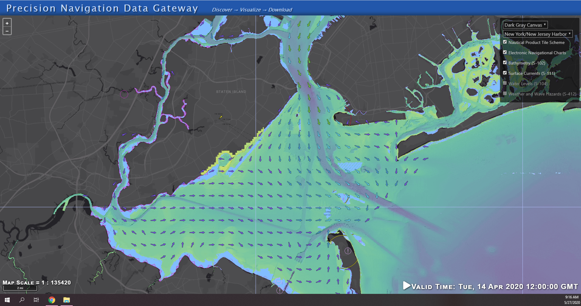
NOAA seeks industry feedback as it begins testing the Precision Navigation Data Dissemination prototype

By Julia Powell, Precision Navigation Program Manager, Chief of the Navigation Services Division

NOAA’s Precision Navigation program is building a prototype data gateway for users to discover, visualize, and disseminate NOAA marine navigation products and services. The backbone of this dissemination system is to provide for machine-to-machine dissemination that allows the mariners’ existing navigation software to automatically discover if NOAA has made new data available and ingest it directly into the system. NOAA’s integrated marine navigation services through this site will help ship operators optimize their routes, save fuel, reduce lightering and reduce port wait times based on environmental conditions.

Continue reading “NOAA seeks industry feedback as it begins testing the Precision Navigation Data Dissemination prototype”
Explore the refreshed ENC-based NOAA Custom Chart Tool

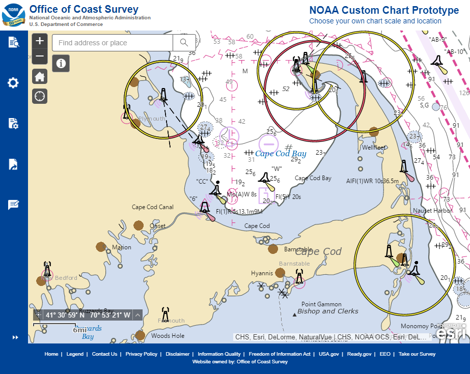
Updated user interface of the NOAA Custom Chart (NCC) prototype web application displaying the Cape Cod, Massachusetts, region.

Recently, NOAA released an improved user interface for the NOAA Custom Chart (NCC) prototype web application, a tool that allows users to create their own charts from the latest NOAA electronic navigational chart (NOAA ENC®) data. In this refreshed version, NCC settings are simplified and more logically organized, appropriate default values for depth contour labels, depth shades, and compass roses are set, and the NOAA color palette from traditional NOAA paper charts is implemented.

Continue reading “Explore the refreshed ENC-based NOAA Custom Chart Tool”

Coast Survey Spotlight: Meet Martha Herzog

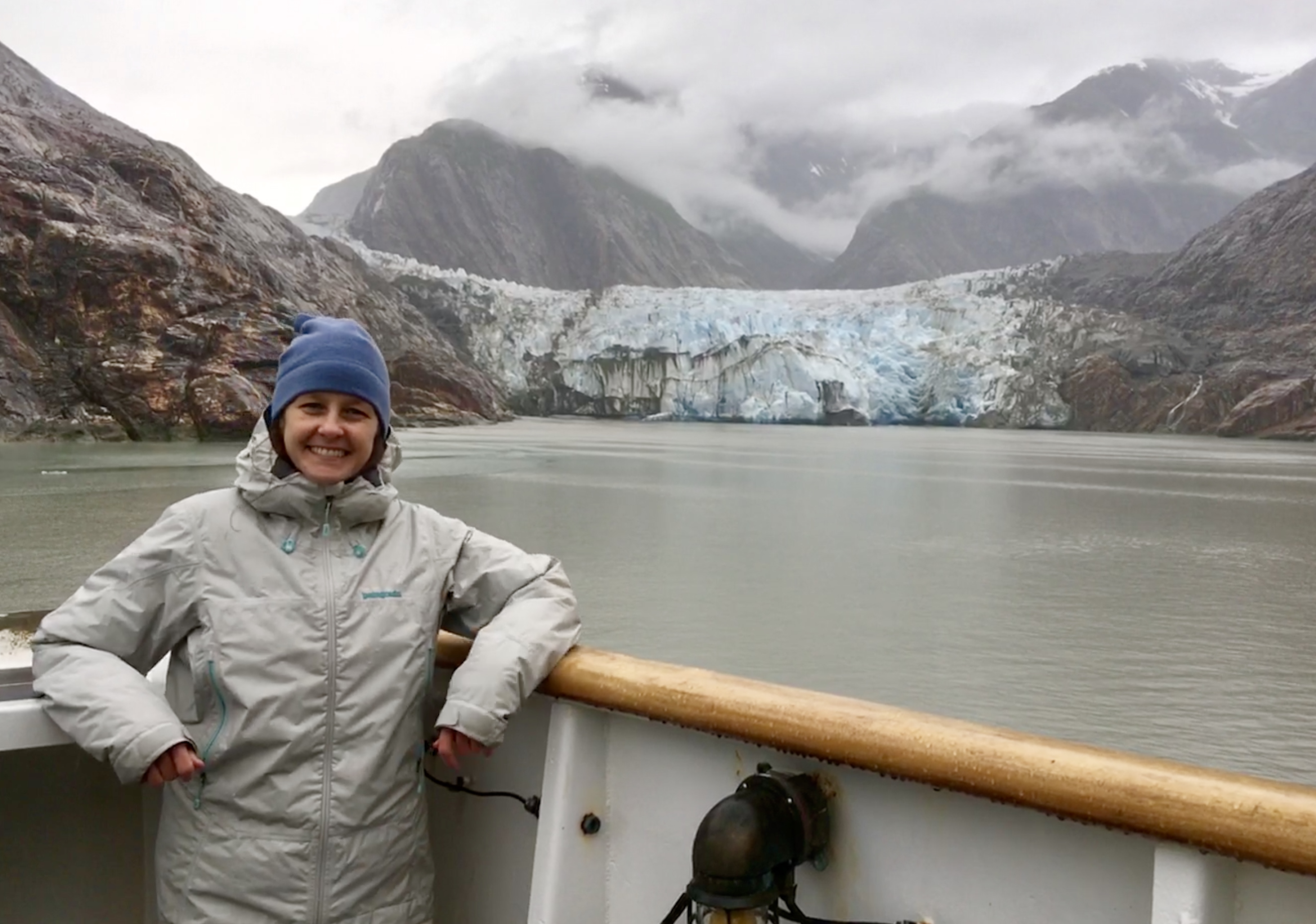
Martha Herzog enjoying the view of Sawyer Glacier in Tracy Arm, Alaska while aboard the "NOAA Ship Rainier."

Ever wonder what it’s like to be a member of the NOAA Coast Survey team? We use the Coast Survey spotlight blog series as a way to periodically share the experiences of Coast Survey employees as they discuss their work, background, and advice.


Martha Herzog, Physical Scientist

“…collecting the most accurate and up-to-date seafloor data to create nautical charting products is essential for ensuring public safety, commerce, and preventing human and environmental catastrophes.” 

Continue reading “Coast Survey Spotlight: Meet Martha Herzog”