Coast Survey Spotlight: Meet Fernando Ortiz

As a physical scientist, Fernando conducts a variety of tasks. One of his primary tasks is to review sonar and multibeam data as a quality control check. These reviews ensure that our data is accurate enough to ensure safe navigation.

Ever wonder what it’s like to be a member of the NOAA Coast Survey team? We use the Coast Survey spotlight blog series as a way to periodically share the experiences of Coast Survey employees as they discuss their work, background, and advice.


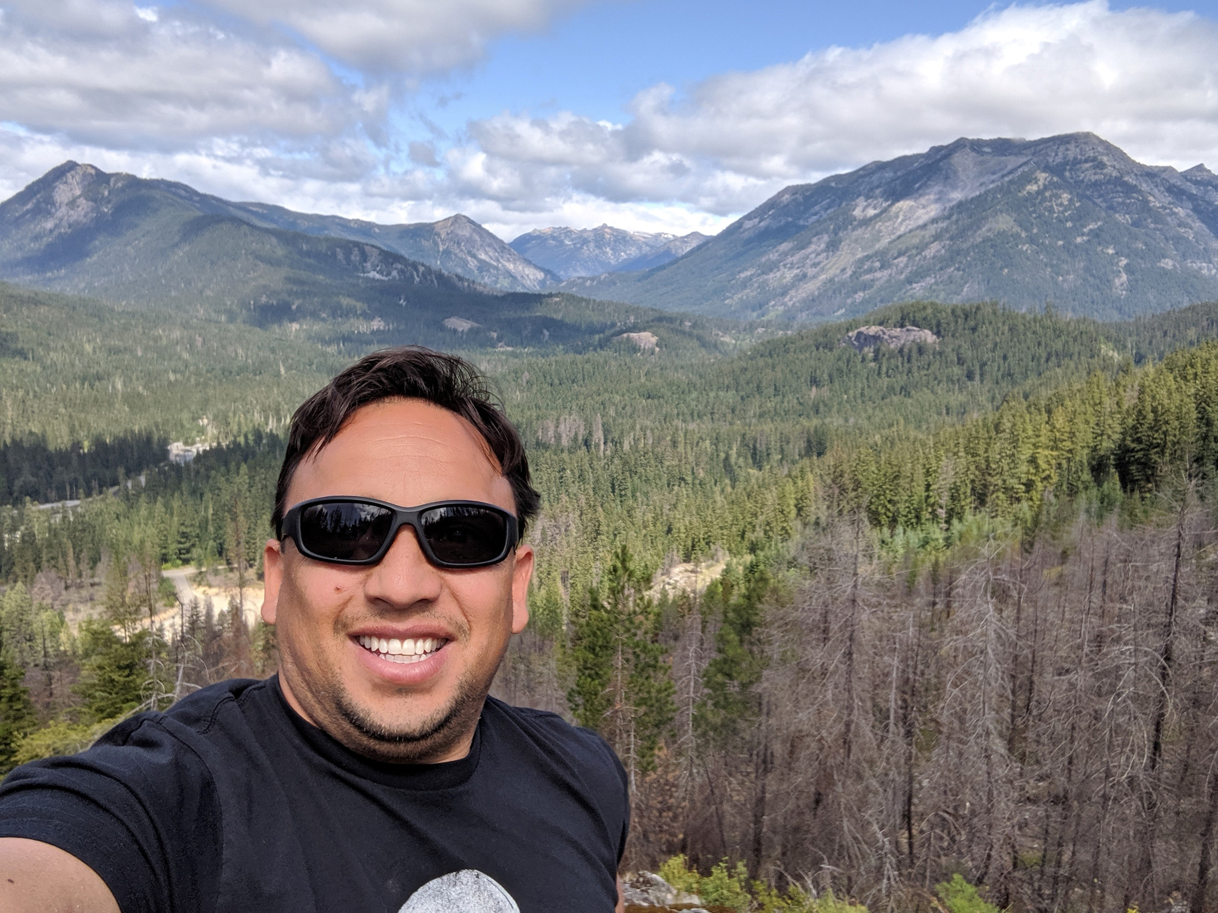
Fernando Ortiz, Physical Scientist

“It’s rewarding to be able to utilize new scientific technologies and processes to collect this necessary data.”

Continue reading “Coast Survey Spotlight: Meet Fernando Ortiz”

Nautical Chart Manual guides cartographers for 100 years

By John Macek

This July marks the 100th anniversary of the Office of Coast Survey’s Nautical Chart Manual. First published on July 10, 1920, as Special Publication No. 66, under the title “RULES AND PRACTICE RELATING TO CONSTRUCTION OF NAUTICAL CHARTS”, the 34- page pamphlet codified the essential guidelines to be used by cartographers of the U.S. Coast and Geodetic Survey.

Continue reading “Nautical Chart Manual guides cartographers for 100 years”