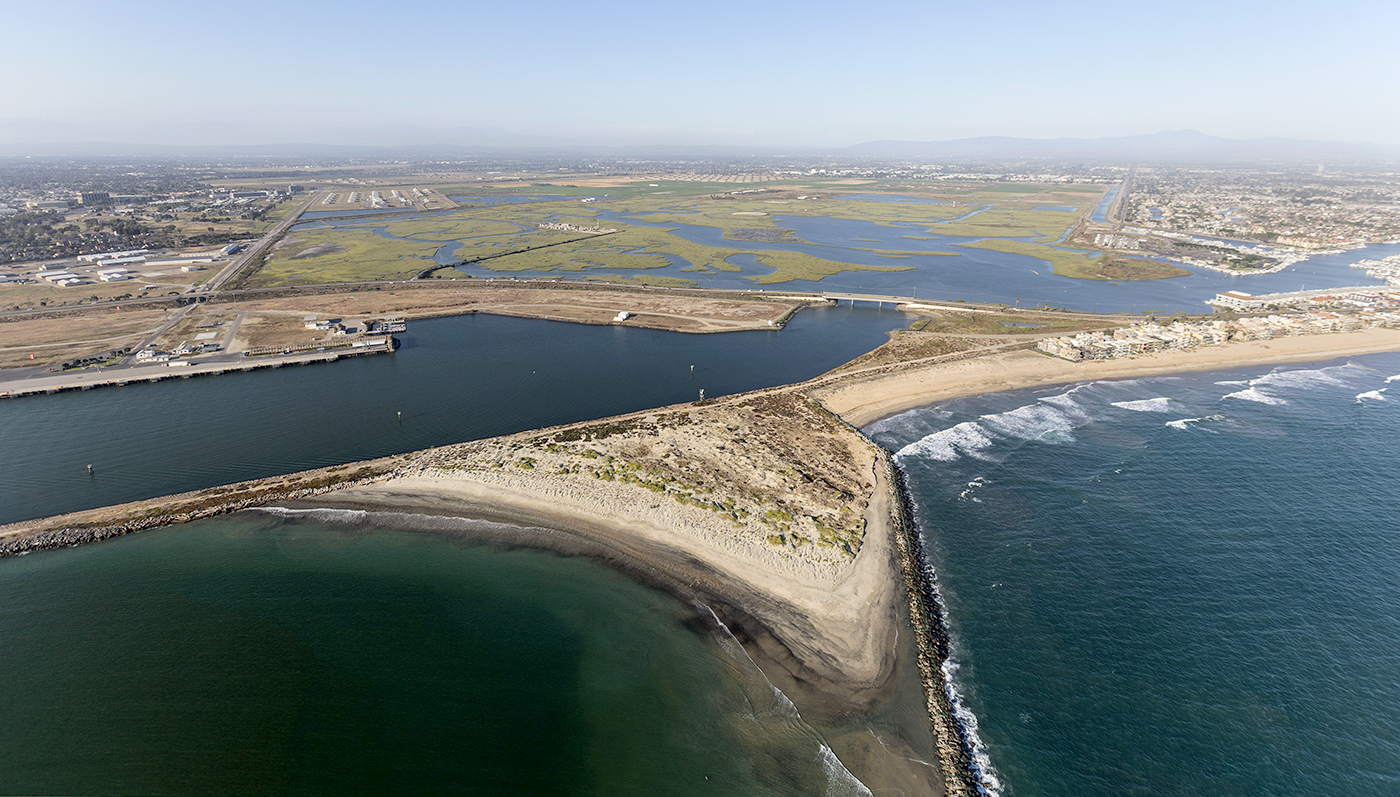
Nautical charts are updated with the most current information available through several processes and workflows within NOAA’s Office of Coast Survey. The large majority of these updates consist of revisions to water depth information. The bottom of a water body is changeable by nature, thus hydrographic surveys are constantly necessary to show contemporary depths in a given body of water. What doesn’t happen quite as often are changes to land along the coast, altering the way inlets, harbor entrances, and river mouths appear from a bird’s eye view. Unless there has been a catastrophic event, these changes in land are usually the result of human interaction.
Continue reading “The nautical chart update process – build it and we will chart it”The nautical chart update process – build it and we will chart it