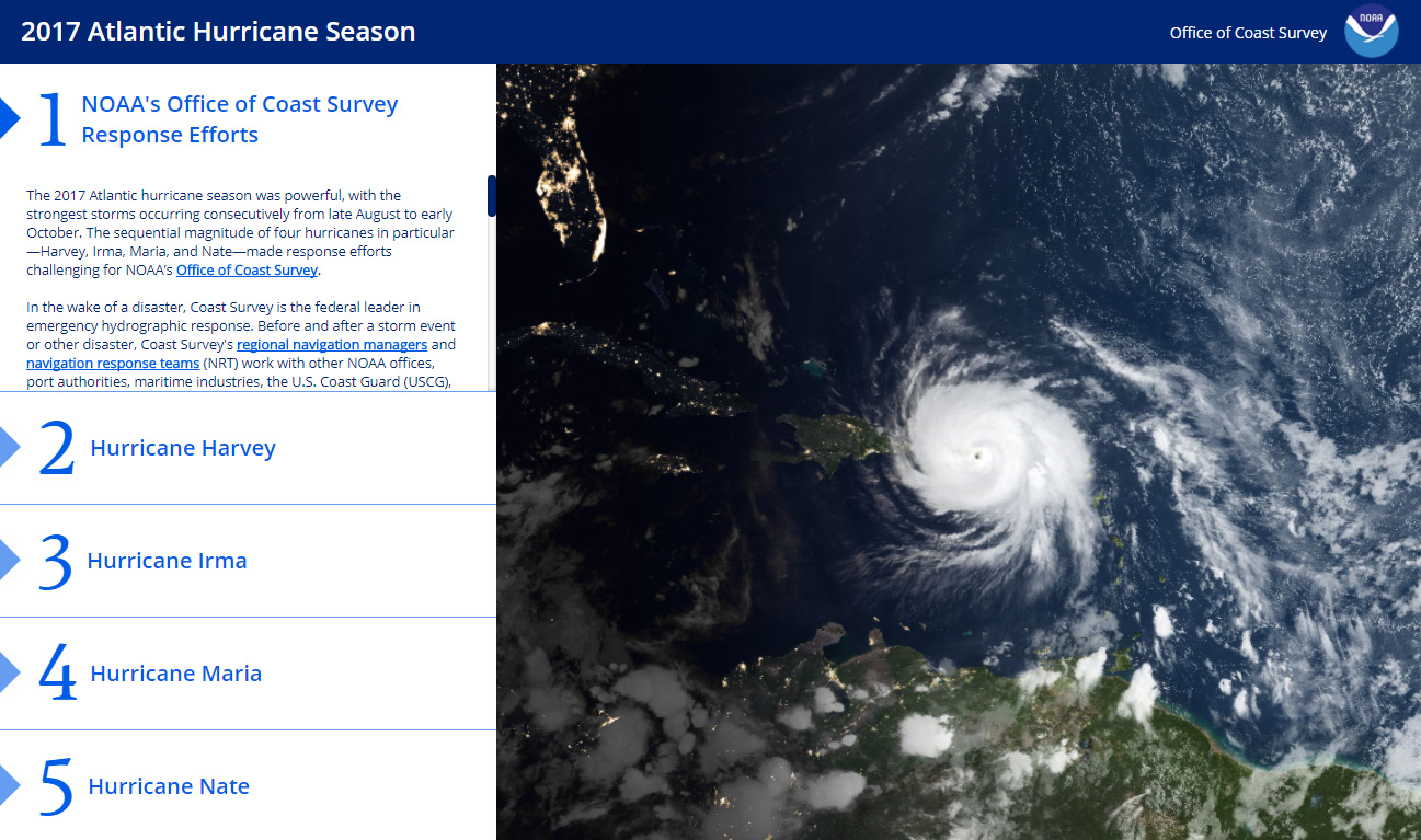
NOAA’s Office of Coast Survey is the federal leader in emergency hydrographic response. Consecutive strong storms during the 2017 hurricane season made response efforts challenging, and emphasized the importance of having a well-trained and versatile staff. Coast Survey’s regional navigation managers, navigation response teams (NRTs), and mobile integrated survey team (MIST) worked with partners before and after the storms to quickly and safely reopen ports and waterways.
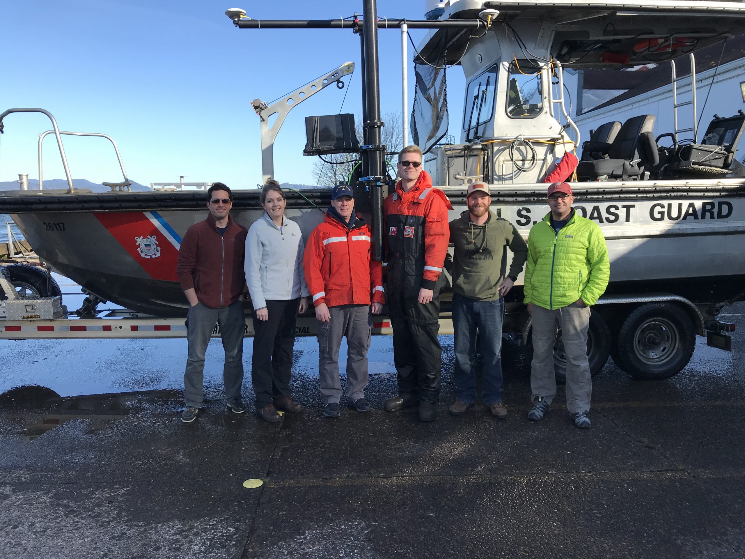
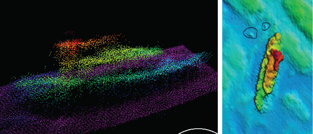
The MIST equipment is a mobile, quick-install side scan and single beam sonar kit that can be quickly set up on a vessel of opportunity. Recently, Coast Survey sent the MIST team to Astoria, Oregon to conduct a hydrographic survey of the Mott Basin area, which the U.S. Coast Guard (USCG) requested to confirm charted depth and obstruction data. Continue reading “NOAA mobile integrated survey team prepares for hurricane season”
NOAA mobile integrated survey team prepares for hurricane season