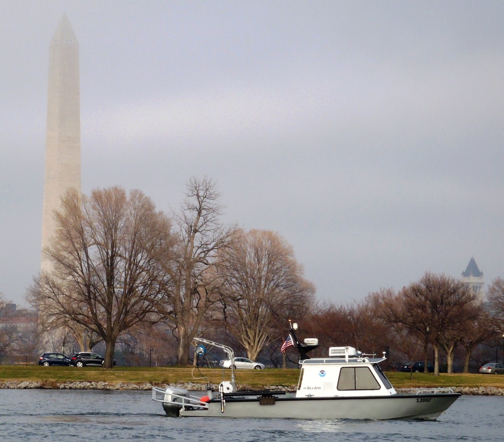
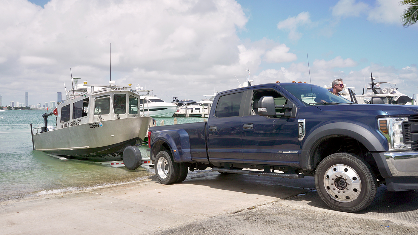
Strategically placed around the country, NOAA’s navigation response teams―30-foot survey vessels with a three-person survey team―maintain emergency readiness while checking chart accuracy in changing ports and harbors. Navigation response teams work day-to-day in ports and harbors, collecting data to update the nation’s nautical charts. They measure depths, locate obstructions, report dangers to navigation, and update features for safe navigation. Whether there is a need to investigate wrecks, check for suspected shoals, conduct surveys for coastal management, or work with other federal agencies to support homeland security, Coast Survey’s navigation response teams have the expertise to get the job done safely and efficiently.
Continue reading “Conducting survey operations with Coast Survey’s navigation response teams”Coast Survey prepares to serve nation during 2018 hurricane season
“But, sir, what does the country want in the coast survey? They want a very useful work done, a very important work done, and they want it done in the best manner.” – U.S. Senator John Davis (MA), 1849, explaining the importance of the coast survey to safety and the U.S. economy during the 30th Congress, 2nd Session
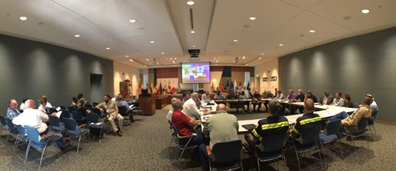
As the nation’s nautical chartmaker, NOAA Coast Survey provides critical emergency response information to coastal communities and waterways. Each year, Coast Survey prepares for hurricane season in order to perform the work in—as the late Senator Davis put it—“the best manner.” Last year’s string of powerful hurricanes underscored the importance of coordinated efforts for storm preparation, response, and recovery. With the official start of the 2018 hurricane season just around the corner, Coast Survey’s regional navigation managers spent the large part of April and May meeting with U.S. Coast Guard (USCG), port authorities, NOAA National Weather Service, and communities to prepare emergency response capabilities. Continue reading “Coast Survey prepares to serve nation during 2018 hurricane season”
Coast Survey supports inauguration preparations
It was an honor to assist with preparations for the Presidential Inaugural. Our assistance, provided before the event, was a combined effort by one of our navigation response teams, survey technicians, cartographers, and several NOAA officers. Coast Survey’s work was additionally supported by colleagues at NOAA’s Center for Operational Oceanographic Products and Services.

For more about navigational planning for the Potomac River, see Coast Guard to establish security zone for the presidential inauguration.


