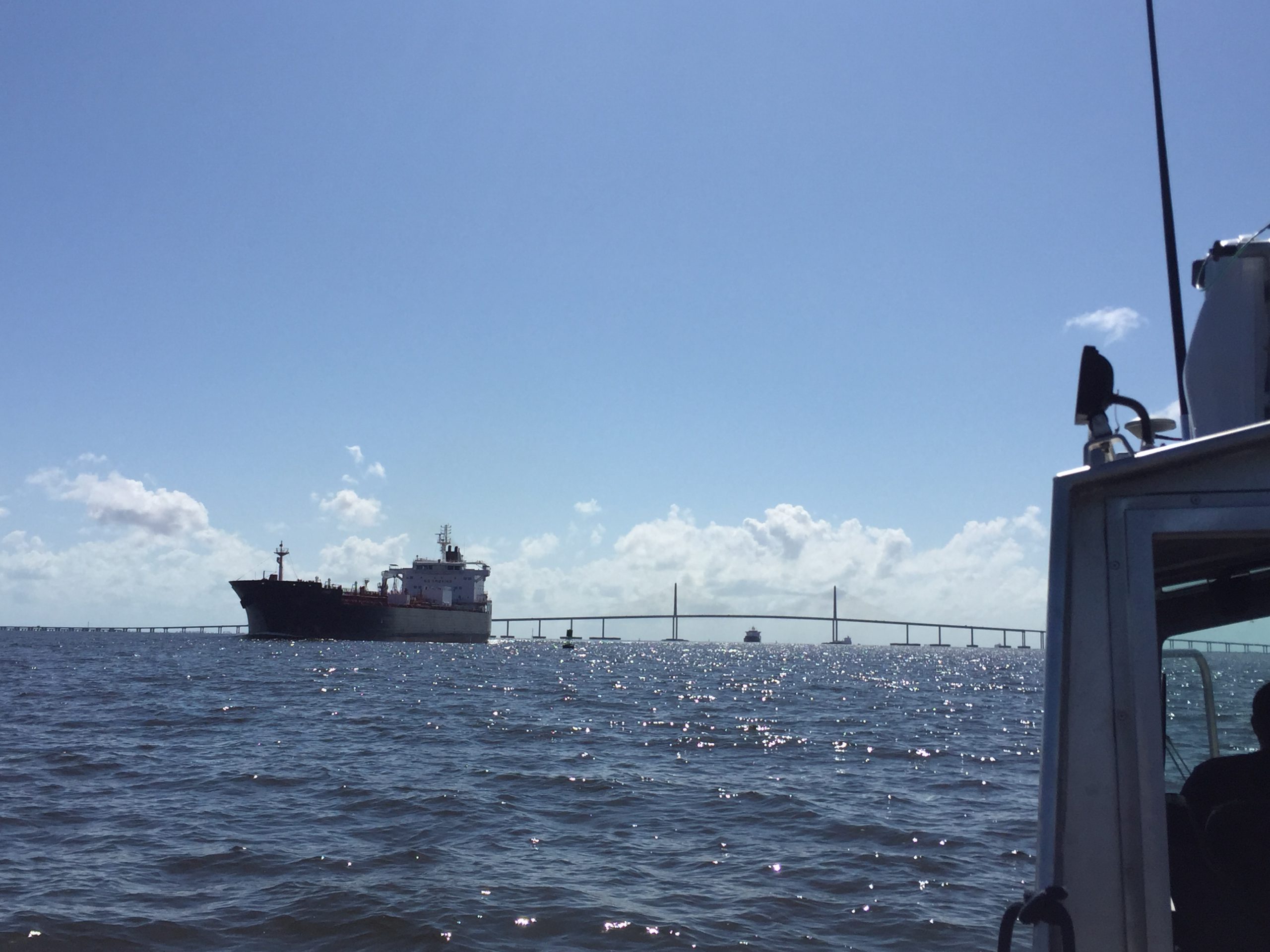
Rear Adm. Shepard M. Smith elected to chair the International Hydrographic Organization Council

RDML Smith (fifth from left) with the Arctic Regional Hydrographic Commission (October 2016, Iqaluit, Canada).

Rear Adm. Shepard M. Smith, director of NOAA’s Office of Coast Survey and the U.S. national representative to the International Hydrographic Organization (IHO), was elected as the chair of the newly established IHO Council.
The council was established in November 2016 as a result of the adoption of amendments to the Convention on the International Hydrographic Organization. It is composed of 30 leading hydrographic nations from the membership of the IHO, and functions much like a corporate board of directors, overseeing performance management and the business side of the IHO. Continue reading “Rear Adm. Shepard M. Smith elected to chair the International Hydrographic Organization Council”

Surveying, rescue drills, and an open house—NOAA Ship Rainier has been busy!

by ENS Michelle Levano

NOAA Ship Rainier continues hydrographic survey operations in Chiniak Bay, near Kodiak, Alaska. As of June 1, 2017, Rainier and her survey launches have surveyed 2,025 nautical miles in the Spruce Island, Long Island, Middle Bay, Kalsin Bay, Isthmus Bay, and offshore Cape Chiniak areas. The total distance surveyed is about as long as the Mississippi River. Continue reading “Surveying, rescue drills, and an open house—NOAA Ship Rainier has been busy!”

NOAA releases 2017 hydrographic survey season plans

NOAA’s Office of Coast Survey maintains the nautical charts and publications for U.S. coasts and the Great Lakes. This is over a thousand charts covering 95,000 miles of shoreline and 3.4 million square nautical miles of waters. Measuring depths and determining new dangers to navigation in this large area is a monumental job given the seafloor is constantly changing.
One of NOAA Coast Survey’s biggest tasks during the winter months is to plan hydrographic survey projects for the coming field season. Survey planners consider requests from stakeholders such as marine pilots, local port authorities, the Coast Guard, and the boating community, and also consider other hydrographic priorities in determining where to survey and when. Continue reading “NOAA releases 2017 hydrographic survey season plans”