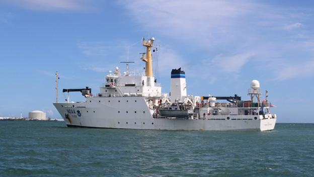
NOAA Ship Thomas Jefferson successfully tested a new wireless networking system while working in the Approaches to Houston/Galveston and around Puerto Rico during the 2018 field season. This new system connects the ship and its two hydrographic survey launches, providing a level of wireless connectivity previously unobtainable with traditional wireless communications systems. NOAA anticipates this will increase unmanned system productivity while conducting hydrographic surveys.
This summer, the Coastal and Marine Geology Program of the U.S. Geological Survey (USGS) and NOAA’s Office of Coast Survey together ran an interagency ocean mapping project across several large portions of the Cascadia Margin, offshore of California, Oregon, and Washington states. This collaboration, conducted aboard the NOAA Ship Rainier, used hydrographic surveying equipment to collect swath bathymetry, backscatter intensity data, and full water column data within the project areas. The high-resolution geospatial data acquired will provide key baseline data for targeted USGS studies to improve hazard assessment and forecasting for marine geohazards offshore of northern California, Oregon, and Washington. NOAA will also use the data to update nautical charts for safe navigation in the region.
By Cmdr. Chris van Westendorp, Commanding Officer of NOAA Ship Thomas Jefferson
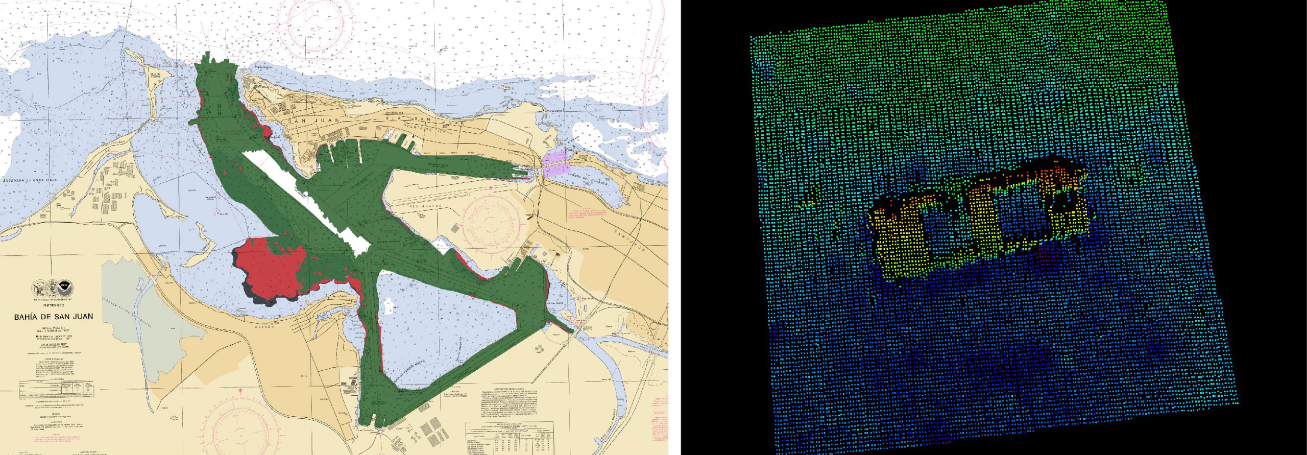
Almost one year following the passage and destruction of Hurricane Maria, NOAA Ship Thomas Jefferson has returned to Puerto Rico. Following the storm, Thomas Jeffersondeployed in September 2017 for hydrographic hurricane response work in Puerto Rico and the U.S. Virgin Islands (PR/USVI). The ship and crew surveyed 18 individual port facilities to ensure safety of navigation and help re-open the region for maritime commerce. Thomas Jefferson’s second major project of 2018 has brought the ship back to Puerto Rico from August to November, conducting follow-up survey work along the north and south coasts.
The area of the Chesapeake Bay along the Eastern Shore of Maryland is one of our nation’s treasures. Home to unique underwater grasses, fish, and shellfish, this complex transition from river to sea is also home to millions of tons of sediment delivered annually from eroding land and streams. Recreational boaters, fisherman, and cruising vessels are keenly aware of the shifting sands and sediment deposits in these shallow waters and rely on aids to navigation (ATON) — a system of beacons and buoys — to travel safely to and from the harbors and docks along the shoreline. Continue reading “NOAA and Coast Guard survey shallow channels in eastern Chesapeake Bay to update aids to navigation”
RA-6 in Elliott Bay, downtown Seattle. Photo Credit: Lt. Andrew Clos
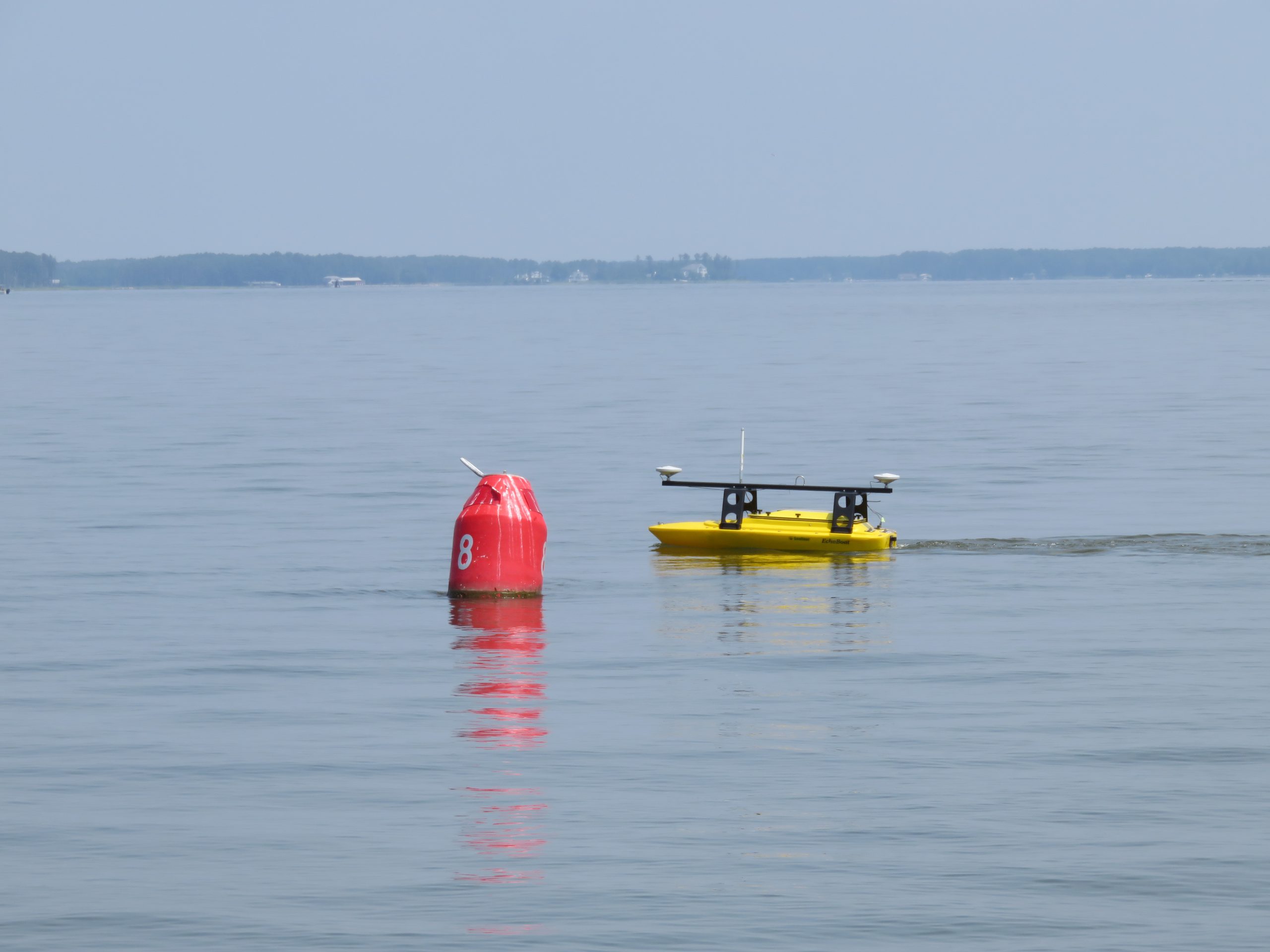
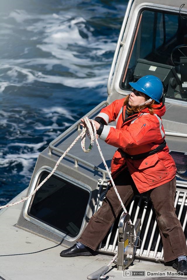
As NOAA Ship Rainier underwent repairs in South Seattle, the ship’s survey launches and their crews carried out a project to update nautical charts around the Port of Everett and its approaches in Possession Sound. The boats used state-of-the-art positioning and multibeam echo sounder systems to achieve full bottom coverage of the seafloor.
The ports of Seattle, Tacoma, and Everett have experienced an increase in vessel traffic and capacity within the last decade. The Port of Everett serves as an international shipping port bringing jobs, trade, and recreational opportunities to the city. Across Possession Sound, Naval Station Everett is the homeport for five guided-missile destroyers, and two U.S. Coast Guard cutters. The data collected from this project will support additional military traffic transiting to and from Naval Submarine Base Bangor in addition to the Washington State Ferries’ Mukilteo/Clinton ferry route, commercial and tribal fishing, and recreational boating in the area. Continue reading “Crew of NOAA Ship Rainier surveys Everett, Washington, to update charts”
Ever wonder what it’s like to be a member of the NOAA Coast Survey team? We will use the Coast Survey spotlight blog series as a way to periodically share the experiences of Coast Survey employees as they discuss their work, background, and advice.
Starla Robinson, Physical Scientist
The work we do has real value and every sounding takes a team of professionals from multiple disciplines. I like being a part of something greater.
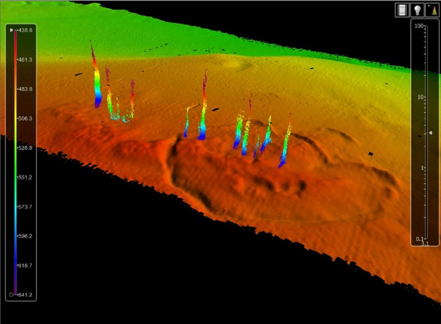
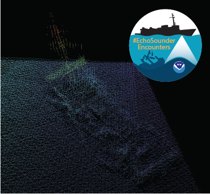
In late spring, while surveying off the coast of Long Island in Kodiak, Alaska, NOAA Ship Rainier found an uncharted shipwreck. Although rocks around the shipwreck were previously charted, this sunken vessel is a new feature. What made the find unique was how the top of wreck’s mast resembled a yellow light at the water’s surface. The Rainier crew fondly nicknamed it “ET’s finger.”
Mast of the sunken vessel found during the survey of Kodiak Island, AK, OPR-P136-RA-17. It was discovered by HAST Michael Bloom while on the NOAA Ship Rainier, in May 2017.
During the survey, Rainier was able to sail close enough to get multibeam echo sounder data over the shipwreck and record a shoal depth.
Multibeam echo sounder data depicting the shipwreck found off the coast of Long Island in Kodiak, Alaska.
Long Island was once the home ofFort Tidball, a World War II coastal fort established in 1941 and abandoned in 1946. NOAA received permission from the Alaska State Historic Preservation Office to share information about this shipwreck and is currently working to identify the ship.
Why is NOAA surveying around Kodiak Island? The area of Chiniak Bay supports the second busiest and third richest fisheries port in Alaska. In 2015, the Port of Kodiak was responsible for 514 million pounds of fish and $138 million of product. Chiniak Bay is the gateway to Kodiak and has a survey vintage of 1933. This area has seen many groundings and near misses due to the number of dangers to navigation and pinnacles that exist in this area. The navigation of this area is further complicated by the number vessels trying to enter and exit the Port of Kodiak via a choke point located at the channel entrance buoy. In recent years, a number of groundings in and around the area have occurred, the most famous being a 174-foot Army landing craft that was outbound to deliver goods to a remote village in western Alaska in 2012.
As the nation’s nautical chartmaker, NOAA Office of Coast survey serves a wide range of customers ranging from recreational boaters and operators of cargo ships, to historical chart enthusiasts. Customers throughout the world send us questions, comments, and also chart discrepancy reports, letting us know they found an error on a chart. As the Coast Survey “Answer Man,” I manage this communication, including Coast Survey’s response. Customers submit inquiries through our Inquiry and Discrepancy Management System (IDMS) database.
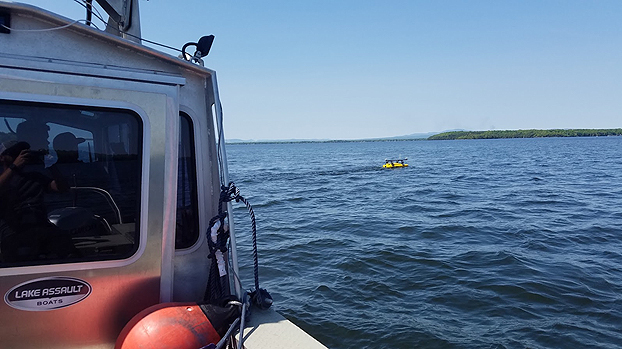
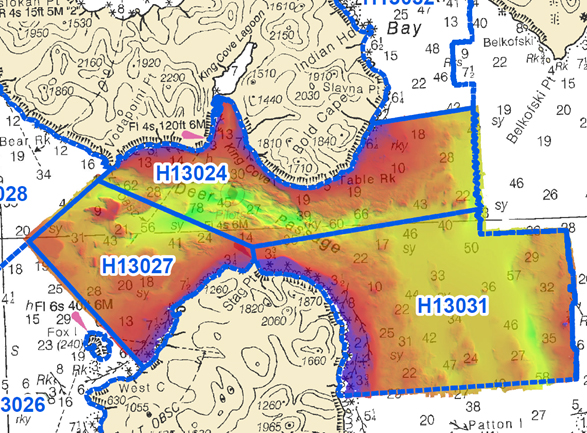
NOAA Ship Rainierhas been diligently surveying Deer Passage in the vicinity of Cold Bay and King Cove, Alaska, for the past month.
This navigationally significant area between Unga Strait and Sanak Island provides the only protected route for vessels transiting between the Gulf of Alaska, the very busy Unimak Passage, and the Bering Sea beyond. Deer Passage is heavily trafficked by fishing vessels, coastal freight traffic, and Alaska Marine Highway System ferries, and serves as an alternate route for deep-draft vessels on Trans-Pacific routes between North America and Asia. While in the area, Rainier observed particularly heavy use of the waterway by vessels engaged in local and Bering Sea fisheries, and towing vessels supporting remote Alaskan communities with barge service.