By Julia Powell, Precision Navigation Program Manager, Chief of the Navigation Services Division
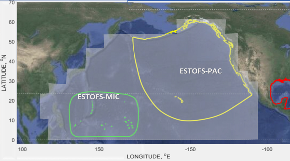
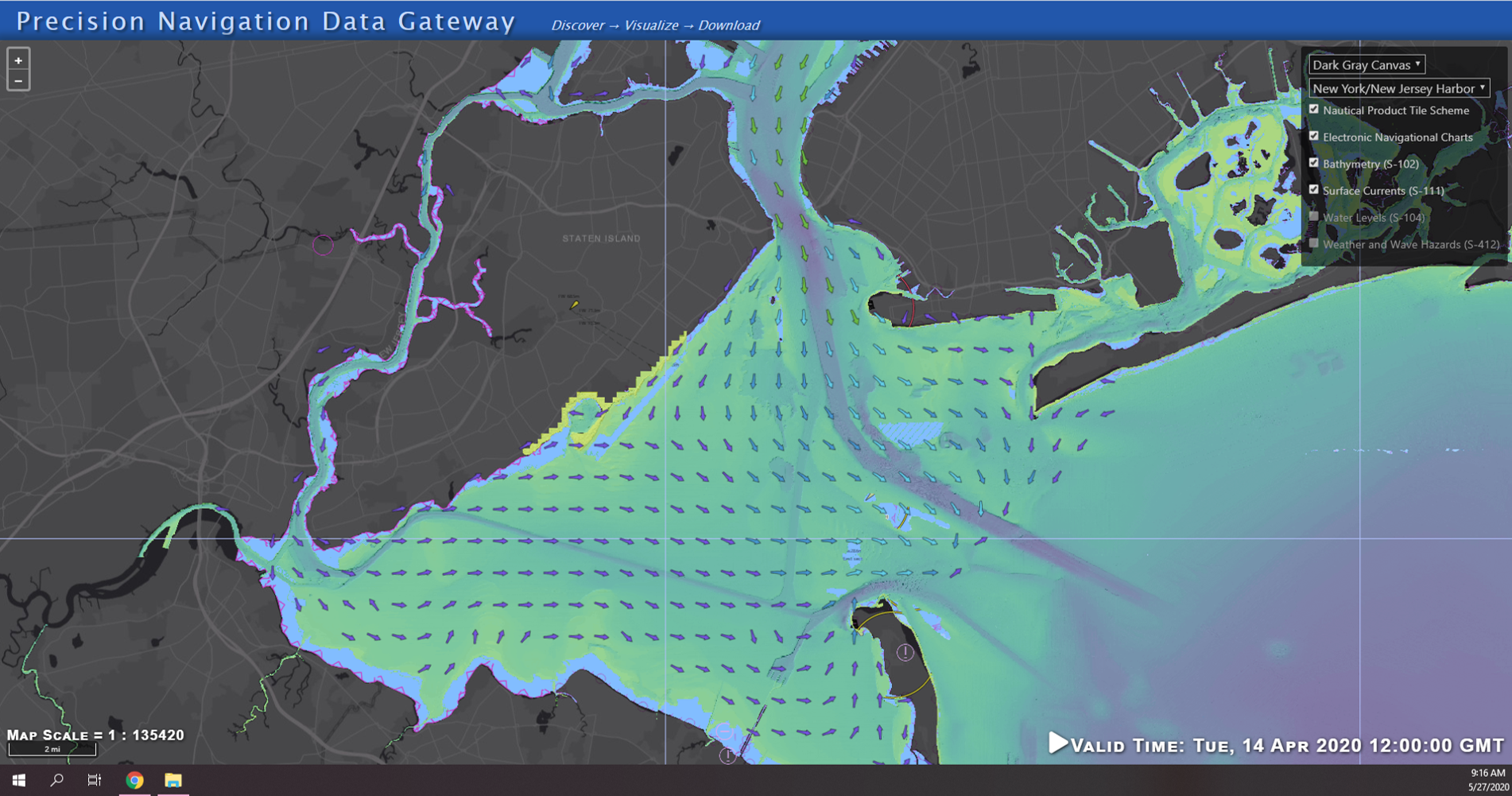
NOAA’s Precision Navigation program is building a prototype data gateway for users to discover, visualize, and disseminate NOAA marine navigation products and services. The backbone of this dissemination system is to provide for machine-to-machine dissemination that allows the mariners’ existing navigation software to automatically discover if NOAA has made new data available and ingest it directly into the system. NOAA’s integrated marine navigation services through this site will help ship operators optimize their routes, save fuel, reduce lightering and reduce port wait times based on environmental conditions.
Continue reading “NOAA seeks industry feedback as it begins testing the Precision Navigation Data Dissemination prototype”