Ancient river systems, glacial grooves, and steep cliffs discovered near Cape Fear, North Carolina

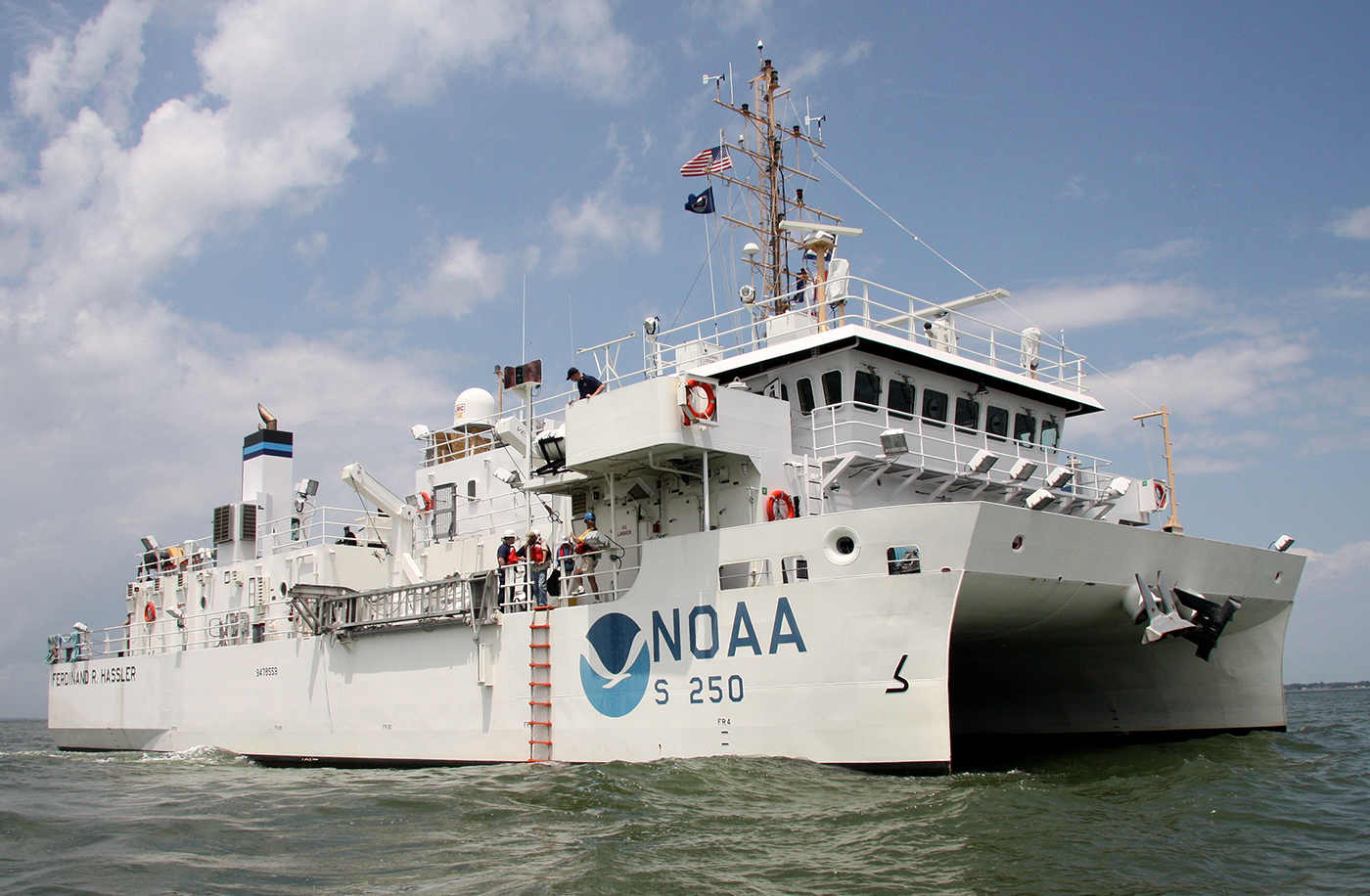
An image of NOAA Ship Ferdinand R. Hassler.

A View into the History of the Cape Fear Region–Tens of Thousands of Years into the Past

By Cmdr. William Winner

Over the spring and summer of 2024, NOAA Ship Ferdinand R. Hassler surveyed an area southeast of Cape Fear, North Carolina. This area is unique to the East Coast of the United States—whereas most of the East Coast’s seabed is sandy and has large areas of sand waves, this area does not have as much deep sand cover and instead features exposed underlying bedrock.

Continue reading “Ancient river systems, glacial grooves, and steep cliffs discovered near Cape Fear, North Carolina”
Possible Ancient River System Discovered off Wilmington, North Carolina

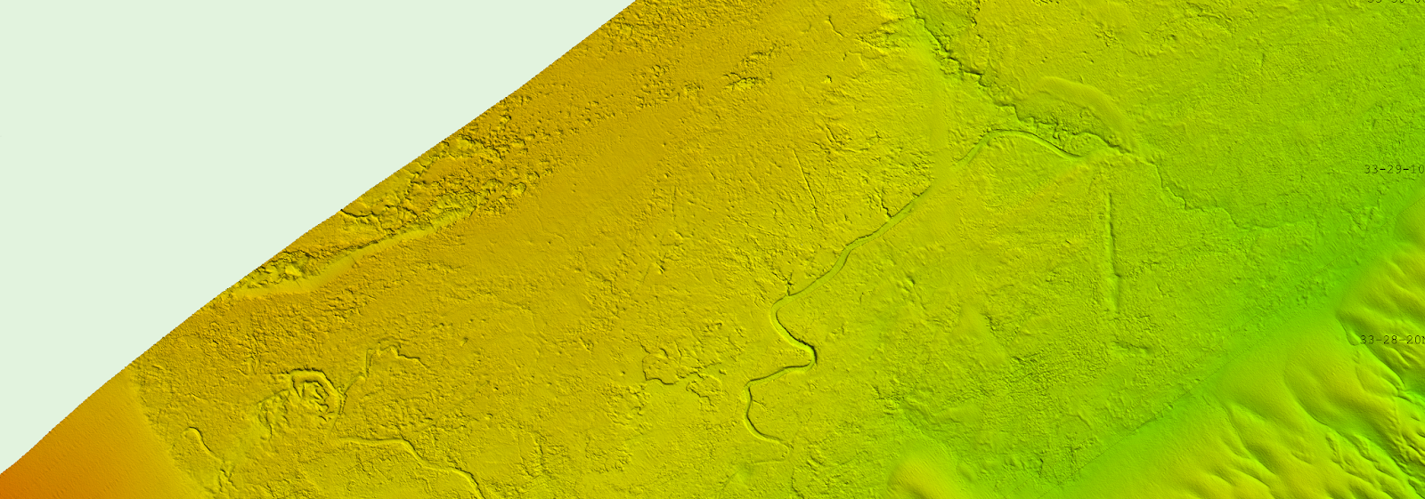
A graphic showing newly discovered underwater paleochannels off of Wilmington, North Carolina shown at 4-meter resolution.
By Alexandra Dawson and Lt. Patrick Debroisse

During the 2023 field season, NOAA Ship Ferdinand R. Hassler was tasked with surveying an area offshore of Wilmington, North Carolina, in the vicinity of Frying Pan Shoals—a dynamic area of dangerously shallow waters. While scientists and crew conducted mapping surveys of the seafloor, they discovered what is believed to be well-preserved ancient remnants of a paleochannel system that could give us a glimpse as to what our North Carolina coastline looked like approximately 20,000 years ago. The location of these newly discovered paleochannels indicates that they may have once been part of North Carolina’s historic Cape Fear River and likely were above sea level during the Last Glacial Maximum.

Continue reading “Possible Ancient River System Discovered off Wilmington, North Carolina”