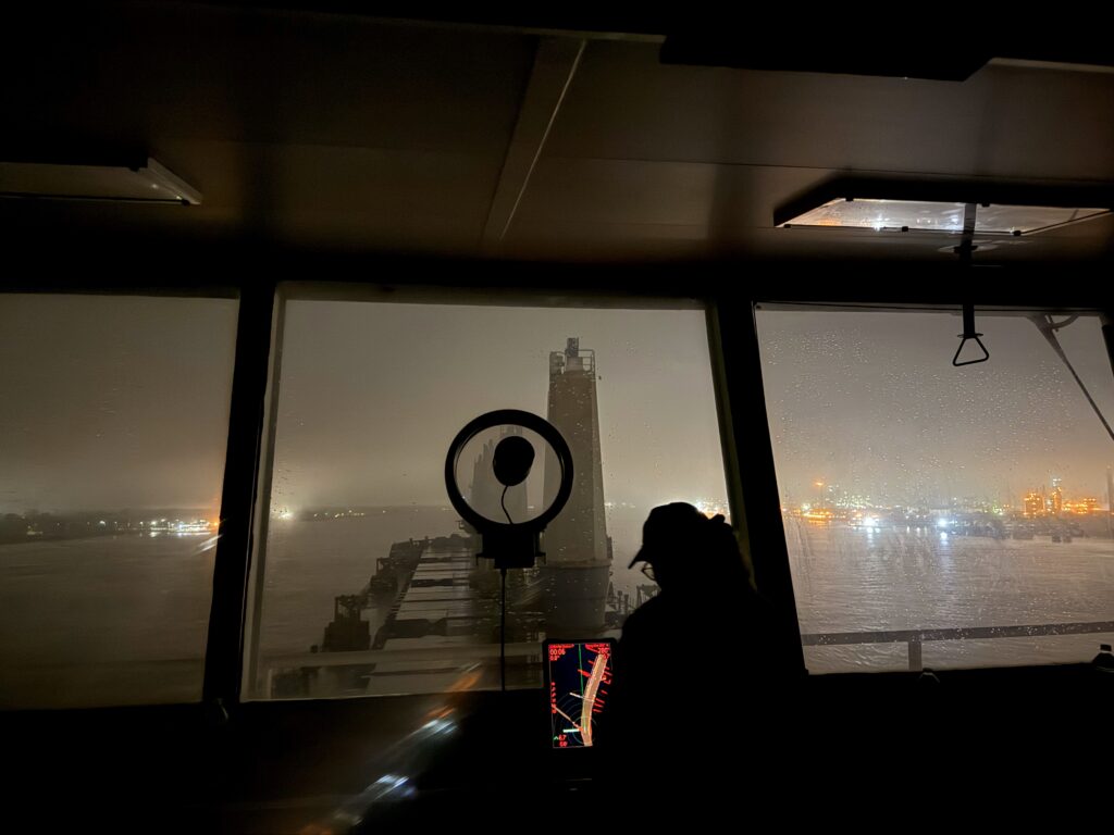
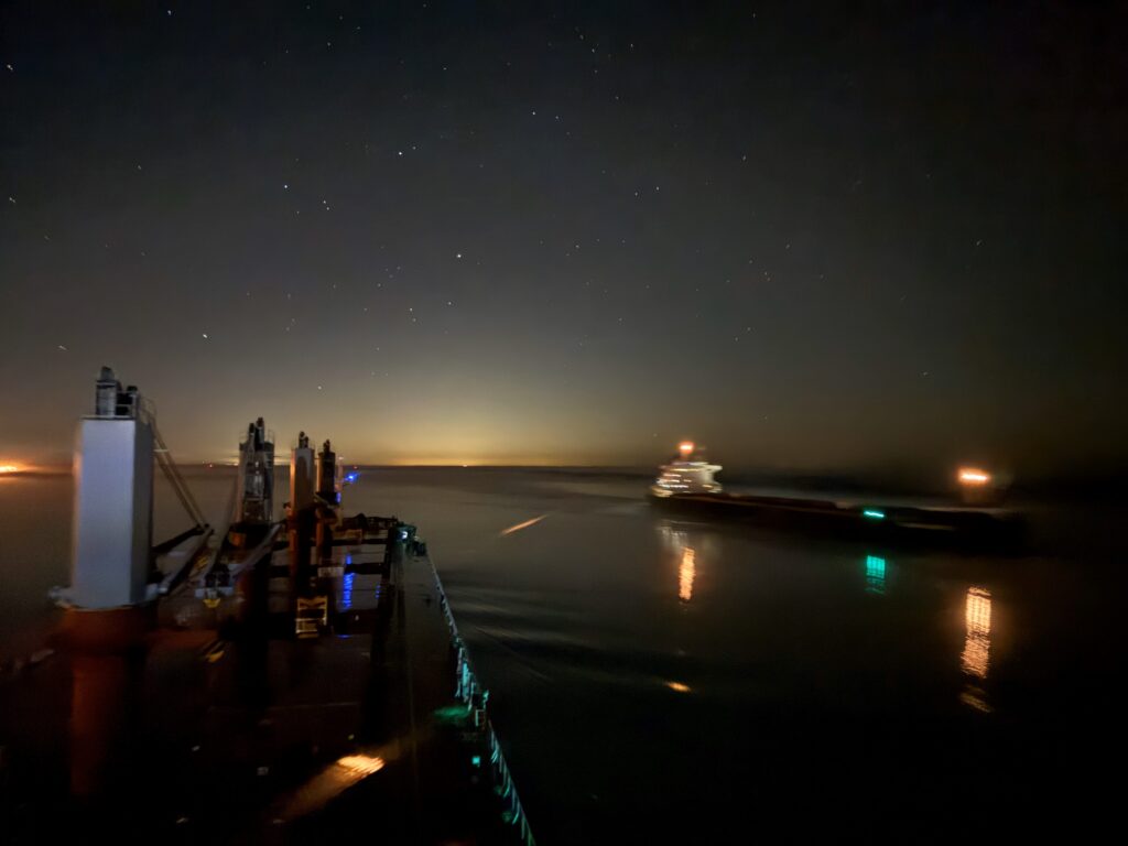
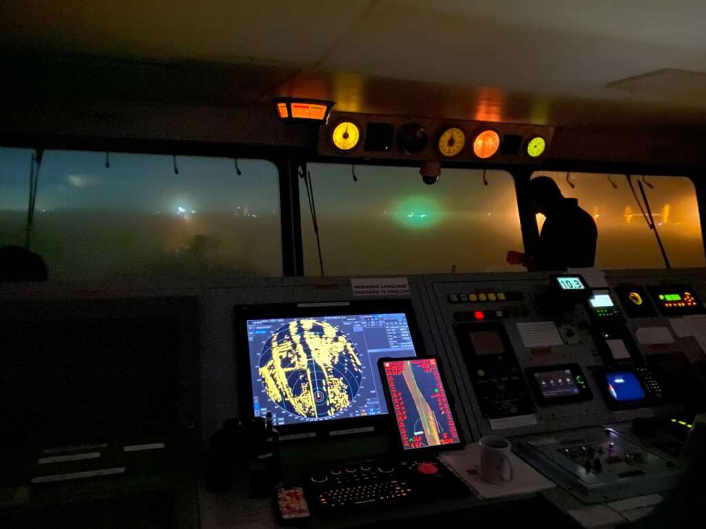
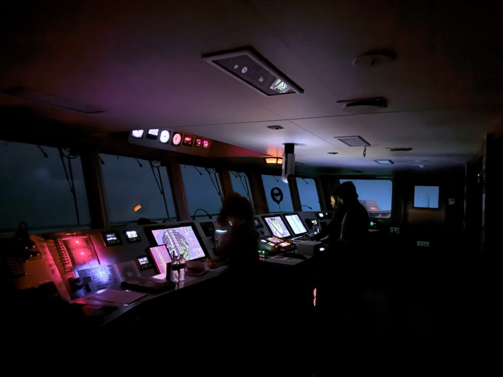
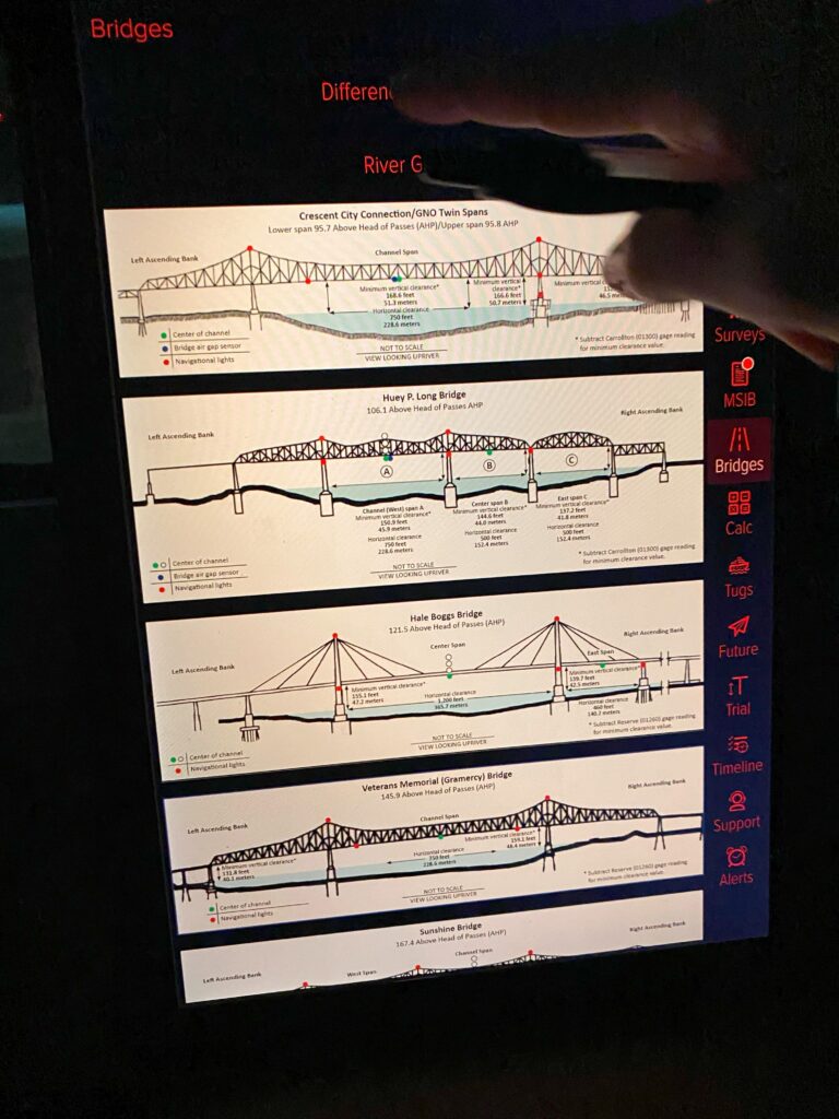
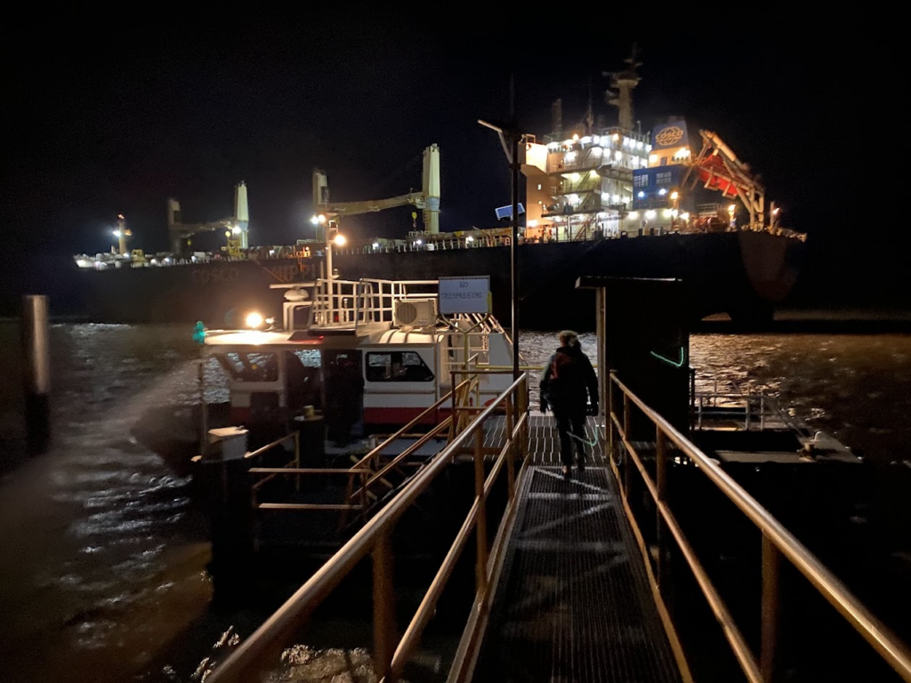
Transit on the Lower Mississippi River with Crescent Pilots | February 2025
During the week of February 24, our Central Gulf Coast Navigation Manager joined a few Crescent Pilots while they safely navigated a large grain ship through rain and limited visibility using our electronic navigation charts and updated bridge heights. Learn more about our work providing precise bridge clearances in New Orleans here: https://nauticalcharts.noaa.gov/updates/noaa-updates-bridge-clearances-crossing-one-of-the-most-important-waterways-in-the-united-states/
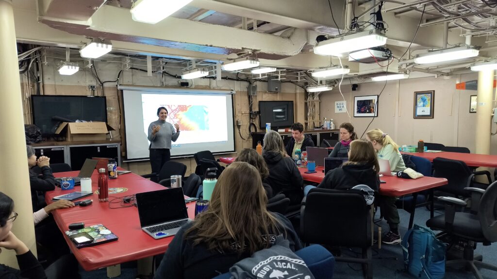
Navigation Managers Meeting | November 2024
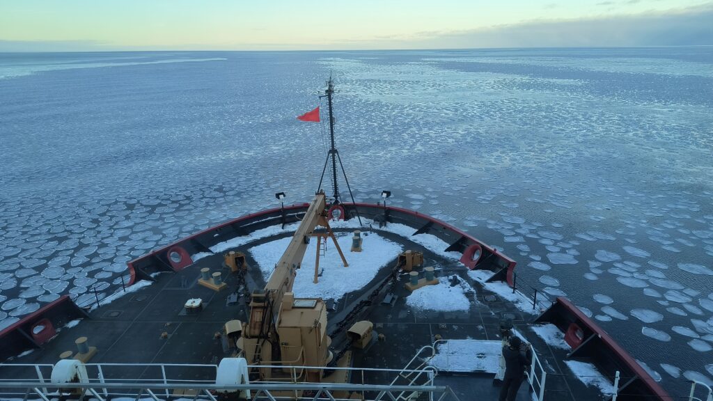
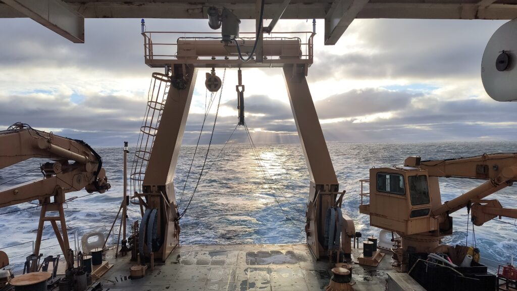
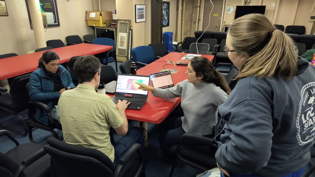
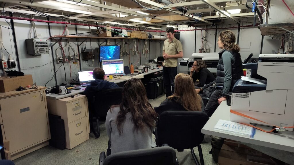
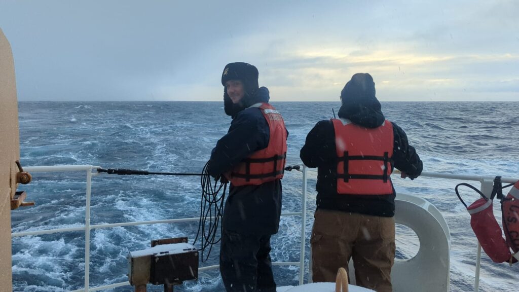
USCGC Healy mapping mission with potential underwater volcano discovery | October 2024