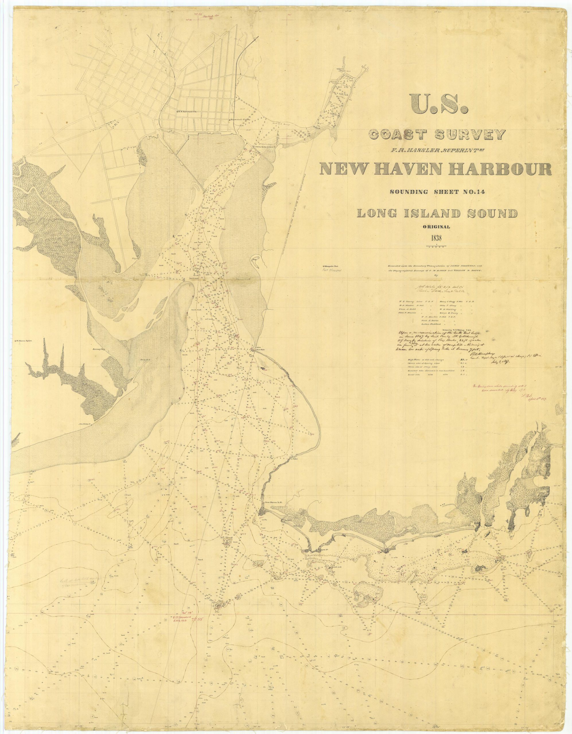
What does a zip file have to do with historic slave ship AMISTAD?

History is never completely written. There are always new discoveries, new understanding.
NOAA historian John Cloud recently sent Coast Survey an intriguing report:

Yesterday I was looking for some historic Chesapeake Bay T sheets [topography drafts]…  Anyway, down in the bottom of a folder, there was a zipped file, dated 2009, never unzipped. I thought: well, since I have noticed this now, why don’t I unzip it? It turned out to be two overly rescaled jpgs, but using my Keith Bridge tricks [a technique developed by a former Coast Survey historical chart expert] I found the two full-scale originals. It was one chart, with a small part cut off to make two separate files: the original 1838 hydrography for New Haven Harbour!

Continue reading “What does a zip file have to do with historic slave ship AMISTAD?”

Coast Survey’s little known role in the case of the Amistad

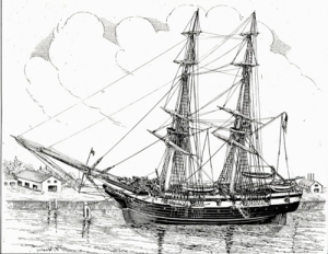
Coast Survey Brig Washington

Lt. Thomas R. Gedney, a U.S. Navy officer commanding the U.S. Coast Survey Brig Washington on August 20, 1839, was surveying the area between New York’s Montauk Point and Gardiner’s Island. He “discovered a strange and suspicious looking vessel off Culloden Point, near said Montauk Point,” according to his statement to Connecticut District Court Judge Andrew T. Judson. Gedney and his officers took possession of the vessel. The ship captured by the Washington proved to be the Spanish schooner called L’Amistad – the ship carrying Africans who revolted against their captors and tried to sail back to Africa… Thus began a little known piece of U.S. Coast Survey history. (It is so little known, in fact, that the 1997 movie Amistad did not mention Coast Survey.)
Continue reading “Coast Survey’s little known role in the case of the Amistad”