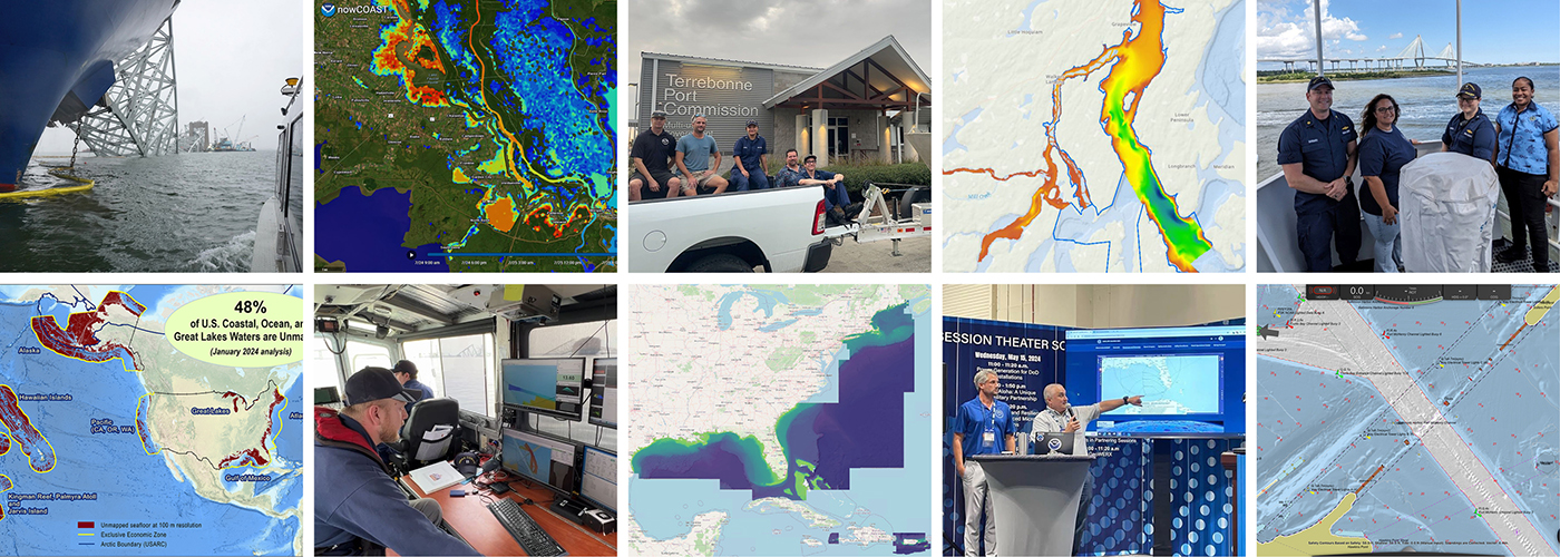
As we look ahead to continued progress in 2025, NOAA’s Office of Coast Survey is proud to share some highlights of the past year with you. We mounted successful emergency responses to reopen ports quickly and safely after hurricanes and a bridge collapse; completed a five-year process to transition to fully electronic navigational chart production; provided hands-on learning experiences for students aboard NOAA Ship Nancy Foster; and much more, all in service of delivering authoritative ocean and lakebed mapping information as the nation’s chartmaker.
Continue reading “Office of Coast Survey 2024 Year in Review”A look back at 2023 and the Office of Coast Survey’s significant activities throughout the year
NOAA’s Office of Coast Survey is reflecting on a successful and remarkable 2023! We completed many significant activities with meaningful impacts. As we look ahead to more progress in 2024, we are proud to share some highlights of the past year in our Coast Survey Year in Review ArcGIS StoryMap.
Continue reading “A look back at 2023 and the Office of Coast Survey’s significant activities throughout the year”

