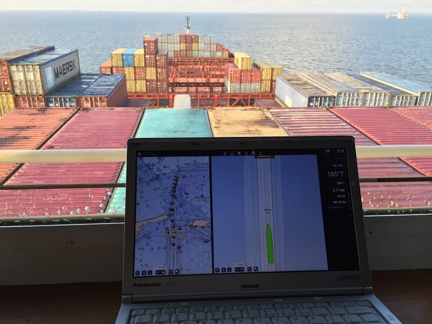
Prototype data for surface current forecasts in the International Hydrographic Organization (IHO) S-111 format is now available for testing through the NOAA Big Data Program. In June, NOAA announced that we were preparing surface current forecast data for dissemination trials. Now that these data are available, industry can integrate these prototype data into different types of navigation software systems such as portable pilot units and under keel clearance systems. By making these data more accessible, more machine-to-machine readable, and more integrated, NOAA aims to amplify the power of our navigation data for users across the maritime industry.
Continue reading “NOAA releases prototype surface current forecast data for industry testing”
News and Updates
