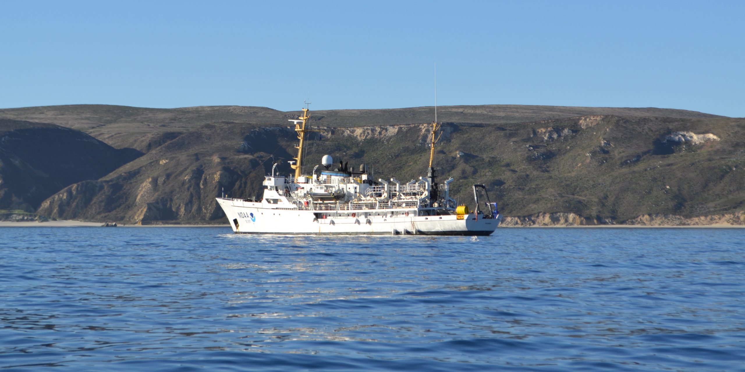
A NOAA ship plying the waters off the coast often inspires public curiosity. This is especially true when boaters and others see the ship or her launches just go back and forth, back and forth, all day. It’s not a surprise, then, that NOAA Ship Rainier’s latest project is generating questions from the areas around Protection Island and Lopez Island, Washington.
Don’t worry, there is no problem! NOAA’s Office of Coast Survey is collecting bathymetric data to update nautical charts that are currently displaying depth measurements acquired from surveys conducted from 1940 to 1969. Survey vessels go back and forth, in a maneuver that is similar to mowing the lawn, as they use multibeam echo sounders to measure the depths and to “see” the ocean floor. If any of the vessels discover a danger to navigation – an uncharted wreck or other obstruction, for instance – Coast Survey will immediately inform the U.S. Coast Guard and the information will be relayed to ships and boaters through a Local Notice to Mariners.
Continue reading “NOAA Ship Rainier surveying the waters off Washington”
NOAA Ship Rainier surveying the waters off Washington