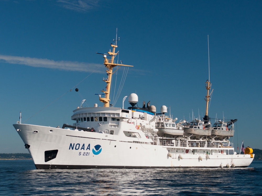
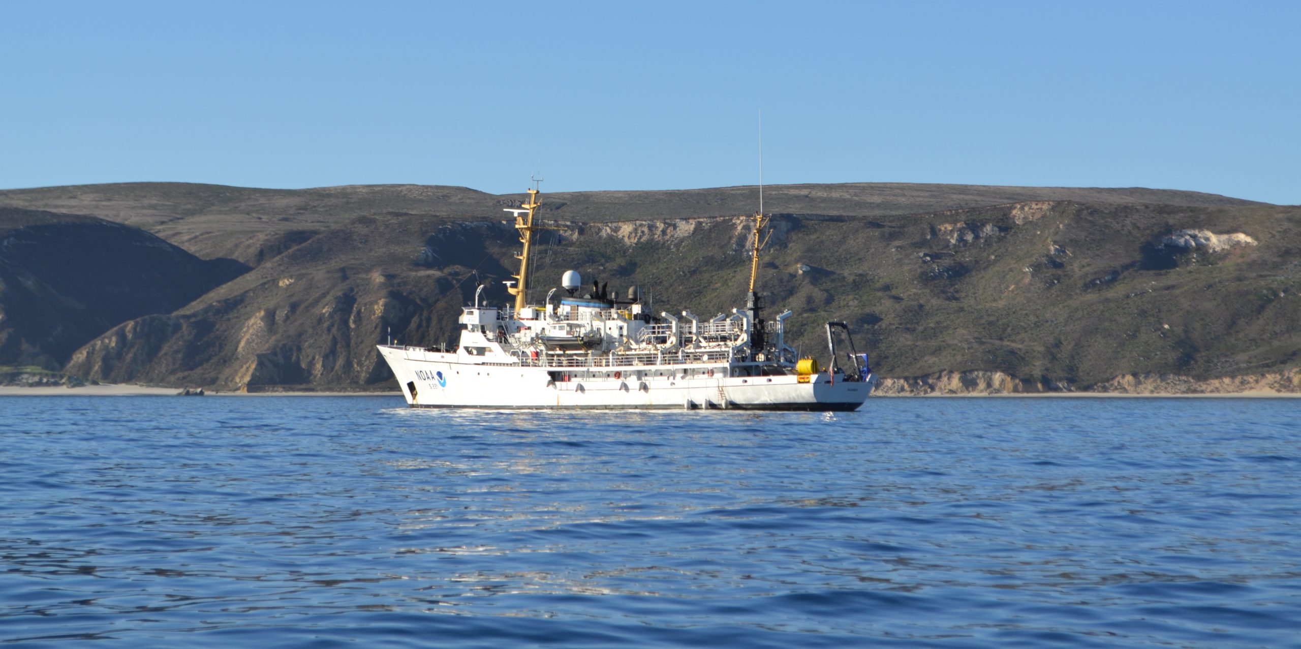
A NOAA ship plying the waters off the coast often inspires public curiosity. This is especially true when boaters and others see the ship or her launches just go back and forth, back and forth, all day. It’s not a surprise, then, that NOAA Ship Rainier’s latest project is generating questions from the areas around Protection Island and Lopez Island, Washington.
Don’t worry, there is no problem! NOAA’s Office of Coast Survey is collecting bathymetric data to update nautical charts that are currently displaying depth measurements acquired from surveys conducted from 1940 to 1969. Survey vessels go back and forth, in a maneuver that is similar to mowing the lawn, as they use multibeam echo sounders to measure the depths and to “see” the ocean floor. If any of the vessels discover a danger to navigation – an uncharted wreck or other obstruction, for instance – Coast Survey will immediately inform the U.S. Coast Guard and the information will be relayed to ships and boaters through a Local Notice to Mariners.

Rainier is one of the NOAA ships dedicated to hydrographic surveys for updating the nation’s nautical charts and other uses. During this project, the ship is using her survey launches to conduct the majority of the survey. Rainier has four 29-foot aluminum boats – each equipped with a high-resolution multibeam echo sounder – that they carry aboard ship. Rainier deploys the launches in the morning to survey, and retrieves them in the evening.
Data acquired by Rainier and her launches will be used to update charts 18465, 18434, 18471, and others, as well as the corresponding electronic navigational charts. (See the full array of charts covering this and other areas, here.) This particular hydrographic survey project, which covers approximately 22 square nautical miles in the Strait of Juan de Fuca, is part of a multi-year project to conduct modern hydrographic surveys and completely update the nautical charts of the waters from Port Angeles to Port Townsend and north to Bellingham, including the San Juan Islands.
This survey project area is a critical priority for updating the charts, since it is near three high-density traffic lanes separated by shoal areas and is frequently transited by large commercial vessels traveling both north to Cherry Point and Vancouver, British Columbia and south to Tacoma and Seattle. The waterways of Puget Sound and the Strait of Juan de Fuca, which have pristine environments, are important for marine transportation, recreation, and national security and defense.
Rainier, with her 50-person crew, commanded by NOAA Commander Edward J. Van Den Ameele, is expected to wrap up the project by late November.


News and Updates

Reblogged this on Boating Safety Tips, Tricks & Thoughts from Captnmike and commented:
If you have been wondering what the NOAA Ship Rainier has been doing driving back and forth like a burglar casing the neighborhood around Protection Island and Lopez Island, Washington.
They are part of a project to completely update the nautical charts of the waters from Port Angeles to Port Townsend and north to Bellingham, including the San Juan Islands.
Sent a link to this to a friend that used to work for NOAA – the response was “Been there, done that, got the T shirt”
Another friend that died a while back, used to speak of one summer on a NOAA ship surveying Cook Inlet in Alaska. They spent the whole summer doing a very nice survey. Just after the survey was done, the Great Alaskan Earthquake happened and made the entire summers work no longer accurate.
Much better tools today, but still takes time and skilled people.