Historical Hydrography on the St. Mary’s River

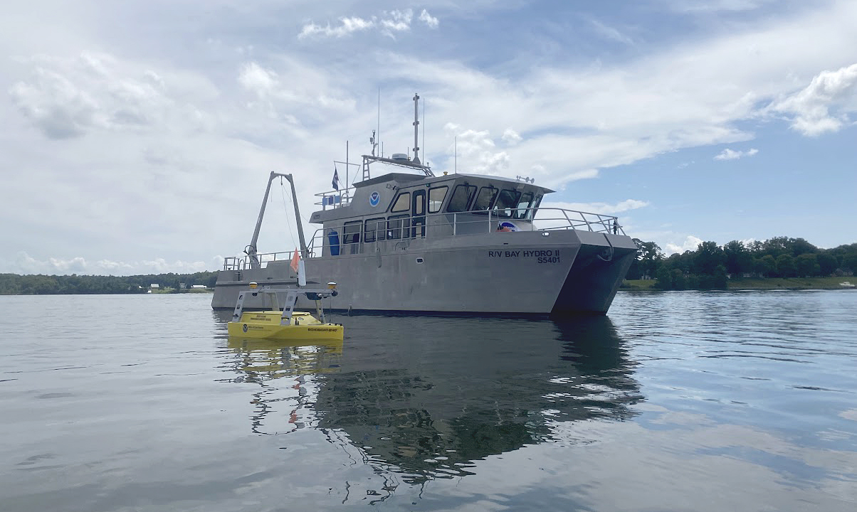
An image of NOAA's Bay Hydro II on the water with the Echoboat 240, uncrewed system in the foreground.

By Riley O’Connor

In November 1633, the Ark and the Dove set sail from the Isle of Wight—an island off the south coast of England—carrying English and Irish settlers bound for the new colony of Maryland. By January 1634, both vessels arrived at the Island of Barbados and began heading for the colony of Maryland. These settlers sailed into the Chesapeake Bay, the Potomac River, and eventually, the St. Mary’s River.  They stopped roughly 12 miles (19 km) northwest from Point Lookout, where the Potomac River enters the Chesapeake Bay. This group of settlers would go on to found Maryland’s first European settlement and future provincial capital, St. Mary’s City.

Continue reading “Historical Hydrography on the St. Mary’s River”
New unmanned surface vehicles to deliver shoaler depth measurements for NOAA nautical charts

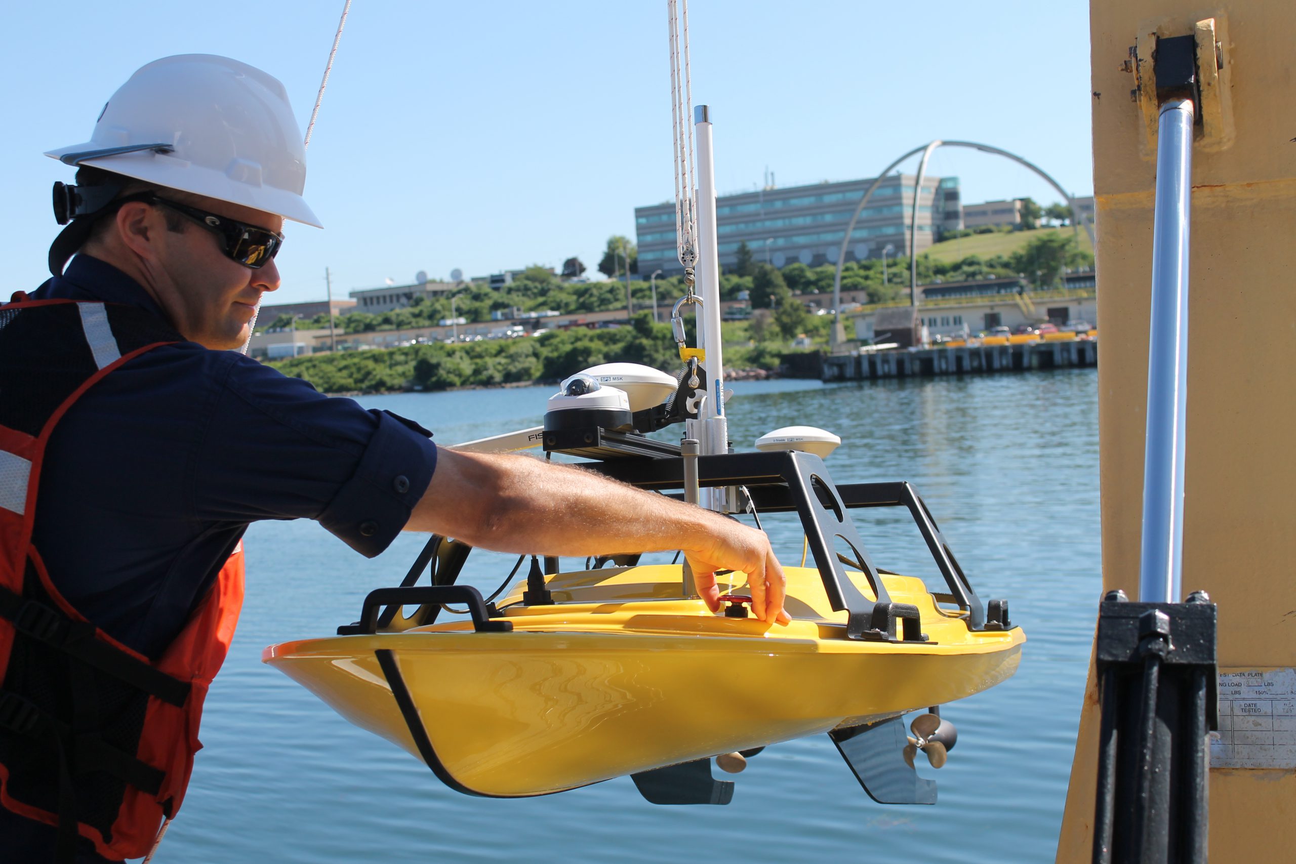
Lt. Carrier deploys Z-Boat

If you look closely at any U.S. coastal nautical chart, you’ll likely find that the areas closest to the shore, shoals, and rocks do not have updated depth measurements. In many areas, safety concerns prohibit the use of NOAA ships or launches to survey the shoalest depths. In many areas, the water is too murky to be mapped with the airborne lidar systems used in clear waters. Now, however, charting those shallow areas is about to get safer, thanks to recent purchases of small, commercial off-the-shelf, unmanned surface vehicles.
This summer, NOAA Ship Thomas Jefferson will deploy a “Z-Boat,” offered by Teledyne Oceanscience out of Carlsbad, California.
Continue reading “New unmanned surface vehicles to deliver shoaler depth measurements for NOAA nautical charts”