
With over 3.4 million square nautical miles of U.S. waters to chart, NOAA’s Office of Coast Survey is constantly evaluating long-term hydrographic survey priorities. Now, for the first time, Coast Survey is posting its three-year survey plans and making them publicly available at the Planned NOAA Hydrographic Survey Areas (2015-2017) in ArcGIS Online. In addition to seeing the outlines of planned survey areas for the next three years, users can obtain additional metadata (project name, calendar year, and area in square nautical miles) for each survey by simply clicking on the outlines. Other features display the survey area information in a tabular format, and can filter the information using metadata fields.

Continue reading “Public has new web access to NOAA hydro survey plans”
Coast Survey’s little known role in the case of the Amistad

Lt. Thomas R. Gedney, a U.S. Navy officer commanding the U.S. Coast Survey Brig Washington on August 20, 1839, was surveying the area between New York’s Montauk Point and Gardiner’s Island. He “discovered a strange and suspicious looking vessel off Culloden Point, near said Montauk Point,” according to his statement to Connecticut District Court Judge Andrew T. Judson. Gedney and his officers took possession of the vessel. The ship captured by the Washington proved to be the Spanish schooner called L’Amistad – the ship carrying Africans who revolted against their captors and tried to sail back to Africa… Thus began a little known piece of U.S. Coast Survey history. (It is so little known, in fact, that the 1997 movie Amistad did not mention Coast Survey.)
Continue reading “Coast Survey’s little known role in the case of the Amistad”
NOAA Ship Rainier surveying the waters off Washington
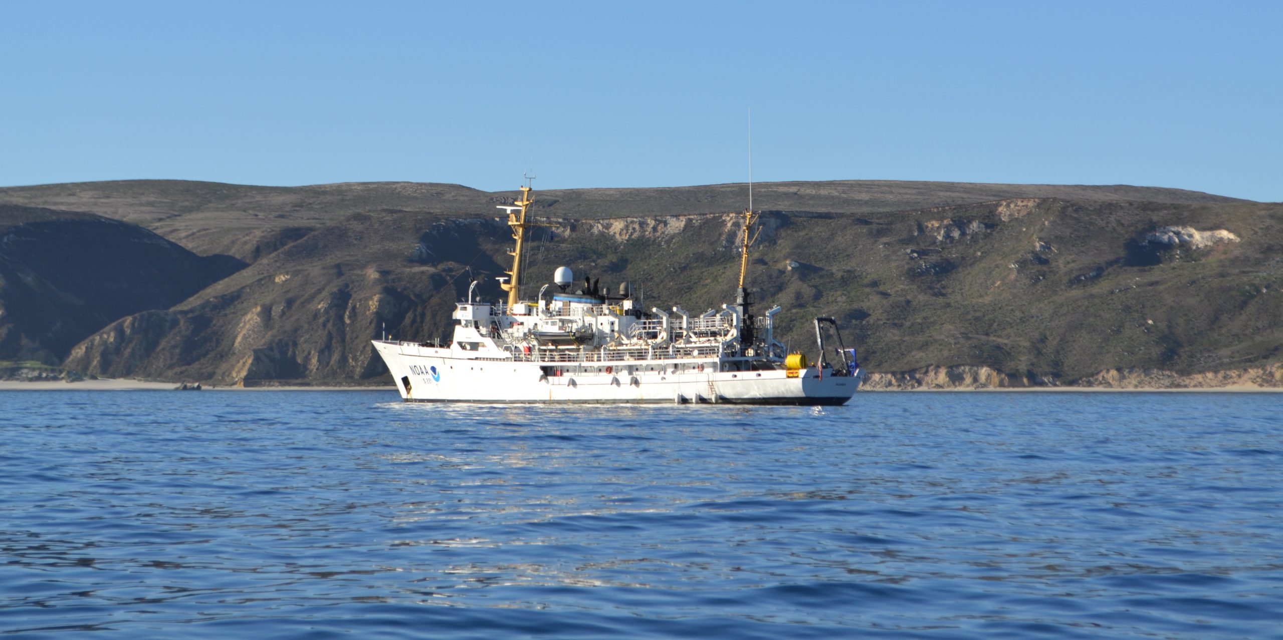
A NOAA ship plying the waters off the coast often inspires public curiosity. This is especially true when boaters and others see the ship or her launches just go back and forth, back and forth, all day. It’s not a surprise, then, that NOAA Ship Rainier’s latest project is generating questions from the areas around Protection Island and Lopez Island, Washington.
Don’t worry, there is no problem! NOAA’s Office of Coast Survey is collecting bathymetric data to update nautical charts that are currently displaying depth measurements acquired from surveys conducted from 1940 to 1969. Survey vessels go back and forth, in a maneuver that is similar to mowing the lawn, as they use multibeam echo sounders to measure the depths and to “see” the ocean floor. If any of the vessels discover a danger to navigation – an uncharted wreck or other obstruction, for instance – Coast Survey will immediately inform the U.S. Coast Guard and the information will be relayed to ships and boaters through a Local Notice to Mariners.
Continue reading “NOAA Ship Rainier surveying the waters off Washington”