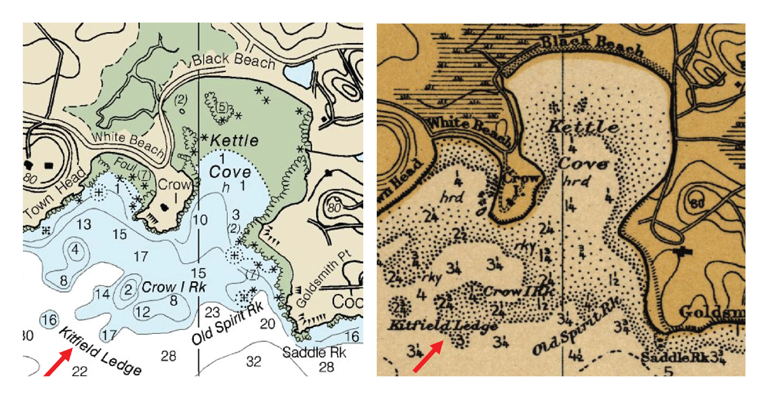
Most NOAA Office of Coast Survey customers have a practical mariner’s bent—they are interested in up-to-date and accurate navigational products and services. However, an increasing number of customers are using Coast Survey online resources for historical research.
Continue reading “Mystery of Kitfield Ledge solved with a little nautical chart research”
NOAA launches new Nautical Chart Catalog
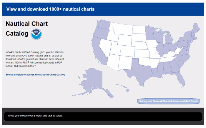
With NOAA’s new Nautical Chart Catalog, users can readily access raster data and charting products in list format. The website serves as a complement to the Chart Locator by providing search capability for any of NOAA’s thousand plus nautical charts.
Continue reading “NOAA launches new Nautical Chart Catalog”
NOAA hosts Industry Day 2017
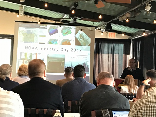
Recently, NOAA hosted it’s third NOAA Industry Day at the Annapolis Yacht Club, attracting over two dozen prominent maritime application and navigation system developers. This year’s event focused on NOAA’s extensive data and models that are freely available and of particular interest to the recreational boater community. Continue reading “NOAA hosts Industry Day 2017”
Penobscot Bay survey focus of NOAA stakeholder meetings in Maine
By Lt. David Vejar
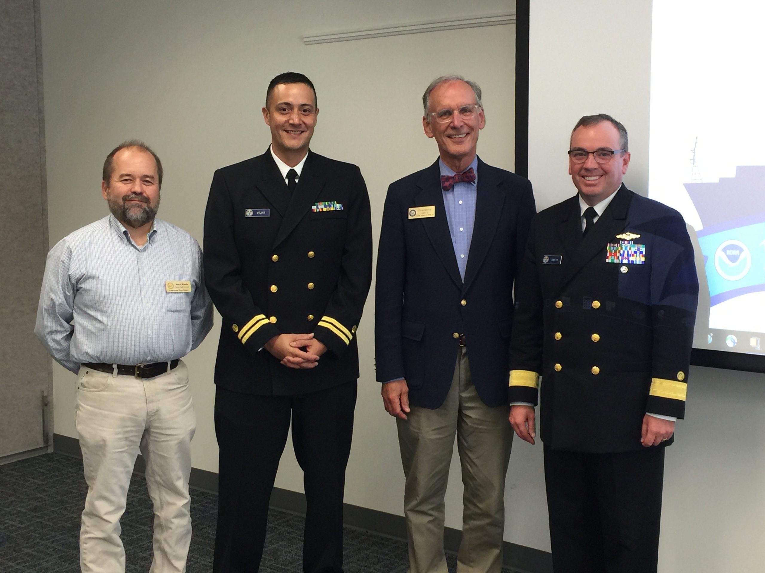
Recently, NOAA’s Office of Coast Survey hosted two stakeholder events in Belfast, Maine, to engage the local community on various NOAA products and updates in the region. Originally from Belfast himself, Rear Adm. Smith, director of the Office of Coast Survey, provided a warm introduction to both events. Dean Moyles, of Fugro, a NOAA hydrographic contractor, presented a summary of the hydrographic survey work being performed in Penobscot Bay. Lt. David Vejar, NOAA northeast navigation manager, highlighted various products and services, including how to access NOAA charts and data, the upcoming Gulf of Maine Operation Forecast System, nowCOAST, and various planning tools such as SeaSketch and Northeast Data Portal. Allison Wittrock, from Marine Charts Division, presented the National Charting Plan with a focus on how it will provide great benefit to stakeholders. Continue reading “Penobscot Bay survey focus of NOAA stakeholder meetings in Maine”
Coast Survey concludes Hurricane Maria response in Puerto Rico and USVI
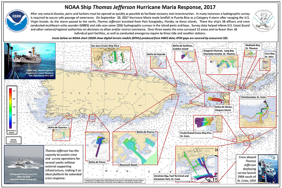
NOAA Ship Thomas Jefferson spent the last three weeks in Puerto Rico and the U.S. Virgin Islands surveying ports and bays in response to Hurricane Maria. Over the three week period, the crew surveyed 13 areas and no fewer than 18 individual port facilities, as well as conducted emergency repairs to three tide and weather stations. PS Doug Wood from Coast Survey’s Hydrographic Surveys Division and Cmdr. Chris van Westendorp, commanding officer of NOAA Ship Thomas Jefferson, compiled a poster highlighting all of the areas surveyed. Continue reading “Coast Survey concludes Hurricane Maria response in Puerto Rico and USVI”
NOAA Ship Rainier surveys Channel Islands to support safe navigation and habitat mapping
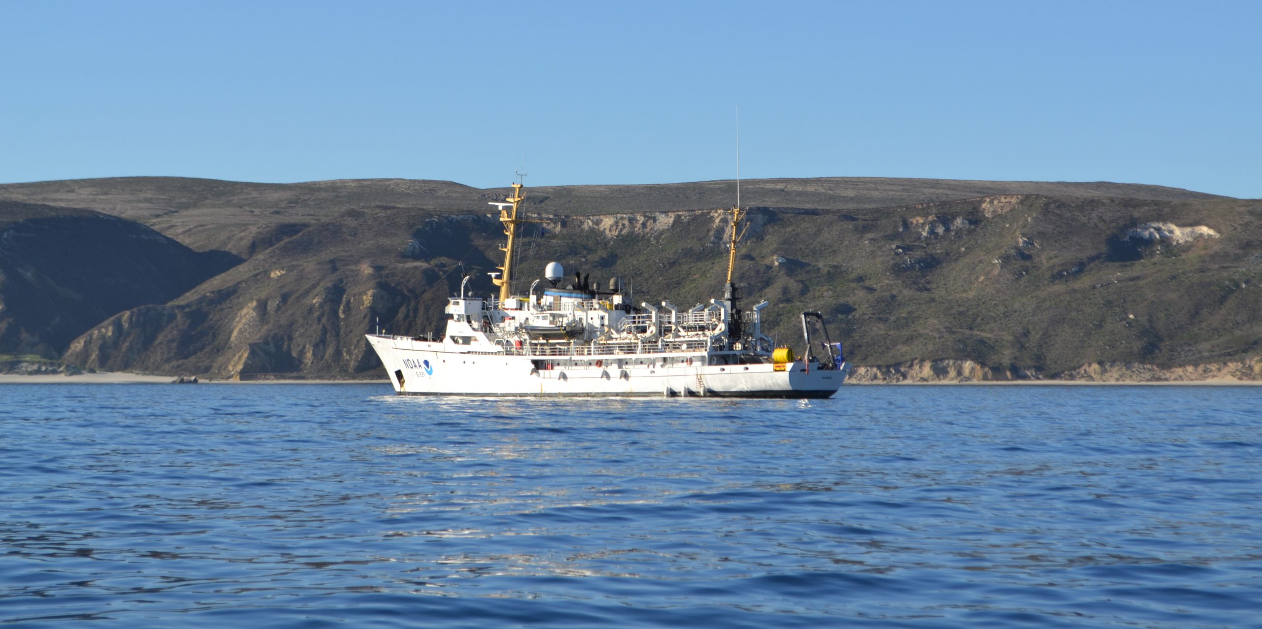
NOAA Ship Rainier recently arrived off the Santa Barbara coast to complete hydrographic surveys at NOAA’s Channel Islands National Marine Sanctuary (CINMS) as part of the Southern California Seafloor Mapping Initiative. Over the next month, the ship will use their new multibeam echo sounders to support safe navigation and update nautical charts for the sanctuary. In addition to providing data for crucial nautical chart updates, the surveys will also generate backscatter imagery, which the sanctuary uses for habitat mapping.
Continue reading “NOAA Ship Rainier surveys Channel Islands to support safe navigation and habitat mapping”

