By Lt. David Vejar
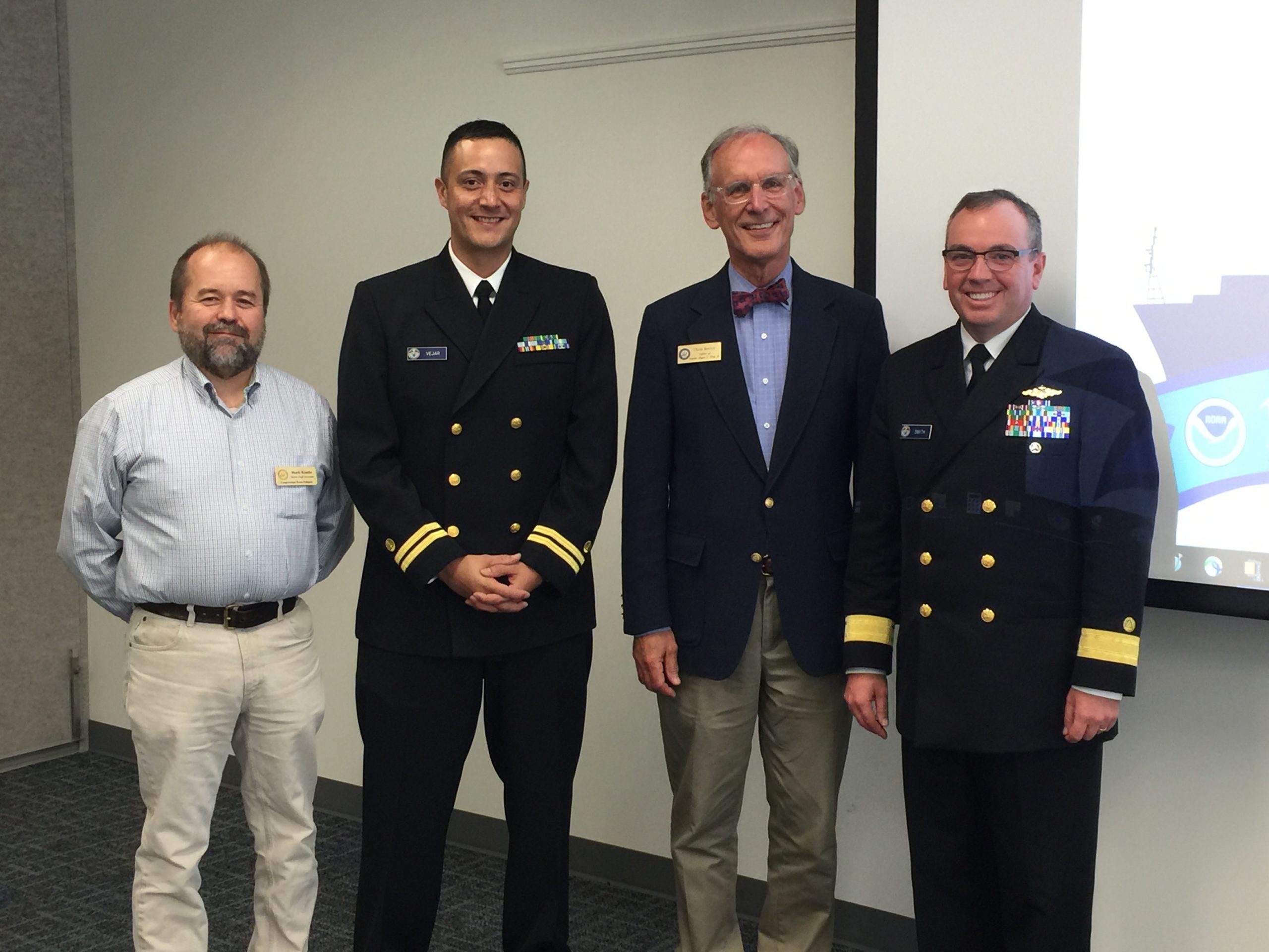
Recently, NOAA’s Office of Coast Survey hosted two stakeholder events in Belfast, Maine, to engage the local community on various NOAA products and updates in the region. Originally from Belfast himself, Rear Adm. Smith, director of the Office of Coast Survey, provided a warm introduction to both events. Dean Moyles, of Fugro, a NOAA hydrographic contractor, presented a summary of the hydrographic survey work being performed in Penobscot Bay. Lt. David Vejar, NOAA northeast navigation manager, highlighted various products and services, including how to access NOAA charts and data, the upcoming Gulf of Maine Operation Forecast System, nowCOAST, and various planning tools such as SeaSketch and Northeast Data Portal. Allison Wittrock, from Marine Charts Division, presented the National Charting Plan with a focus on how it will provide great benefit to stakeholders.

Various groups attended the event, including local harbor committees, regional U.S. Coast Guard, Maine Department of Marine Resources, NOAA Greater Atlantic Regional Fisheries Office, Maine Lobsterman’s Association, Maine Department of Environmental Protection, and staff from Rep. Bruce Poliquin (ME) and Sen. Angus King, Jr.’s (ME) offices.
NOAA and Fugro received positive feedback from local stakeholders before and during the Penobscot Bay hydrographic survey. The state of Maine and NOAA’s Office for Coastal Management will also be working together to coordinate long-term projects in the area. NOAA was invited to return and present at both the Maine Fisherman’s Forum March 1-3, 2018, in Rockland, and at the annual Maine Harbormaster’s Association annual training in March 2018 at the Maine Maritime Academy. The stakeholder events were captured and published by the Republican Journal.

