NOAA Improves Etolin Strait Data with New NOAA ENC® Layout

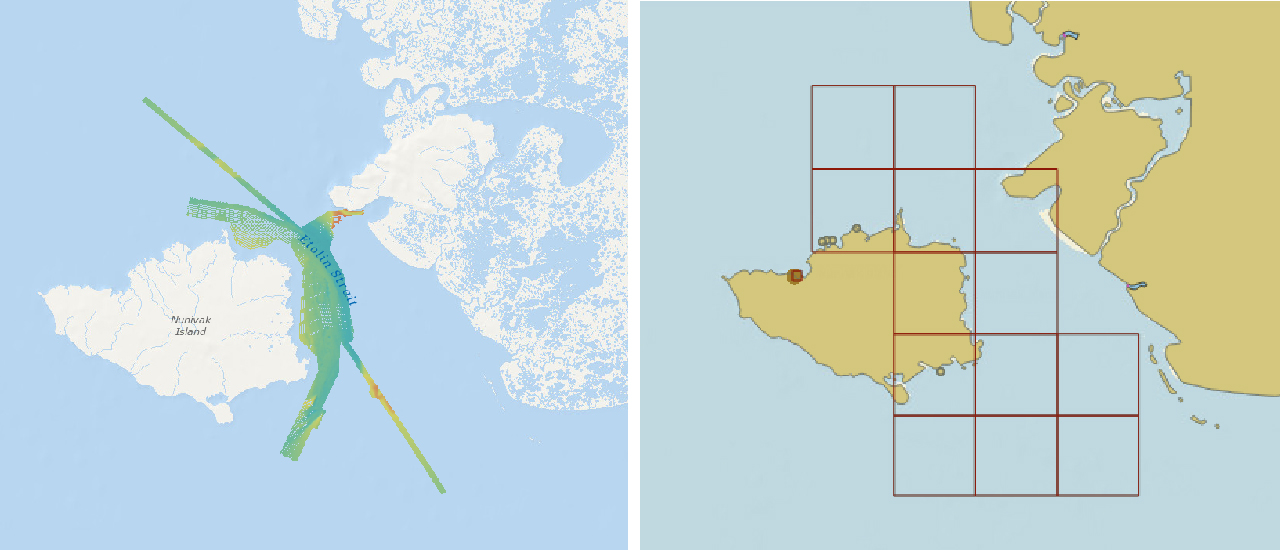
Etolin Strait survey area and reschemed grid

NOAA recently released 13 new large-scale electronic navigational charts (NOAA ENC®) of Etolin Strait, Alaska. These charts provide a nearly twenty-fold increase in scale over the previous ENC coverage. New Etolin Strait hydrographic surveys and the resulting ENCs served as a pilot project for the overall rescheming of the entire NOAA ENC suite with a regular, gridded layout for ENC charts, as outlined in NOAA’s National Charting Plan. No corresponding NOAA raster nautical chart products in Etolin Strait will be produced. This is in keeping with Coast Survey’s “ENC-only” production concept, which generally maintains the current raster chart product coverage, but only creates new larger scale coverage in the ENC product line.

Continue reading “NOAA Improves Etolin Strait Data with New NOAA ENC® Layout”

NOAA announces change in channel depths on raster nautical chart products

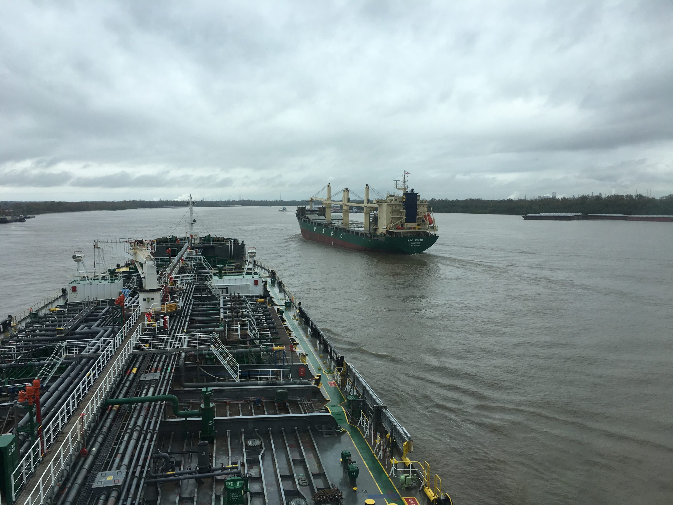
Ships passing on the lower Mississippi River.

NOAA’s Office of Coast Survey recently announced plans to change the U.S. Army Corps of Engineers (USACE) maintained channel depth values on raster nautical chart products, which include paper nautical charts and the corresponding digital raster navigational charts (NOAA RNC®). Minimum depths (also called controlling depths) are collected during periodic USACE sonar surveys of channels. In the past, these depths were provided on raster charts, but controlling depths will now be replaced with the original channel design dredging depths used by the USACE (called project depths). Standardizing depth presentation on these products will improve data consistency and overall safety. Implementation begins in early 2019.

Continue reading “NOAA announces change in channel depths on raster nautical chart products”