Hawaiian island surveys will update nautical charts and support habitat mapping efforts

Three of Rainier’s hydrographic survey launches moored in Kahului Harbor, Maui.

By Ens. Lyle I. Robbins

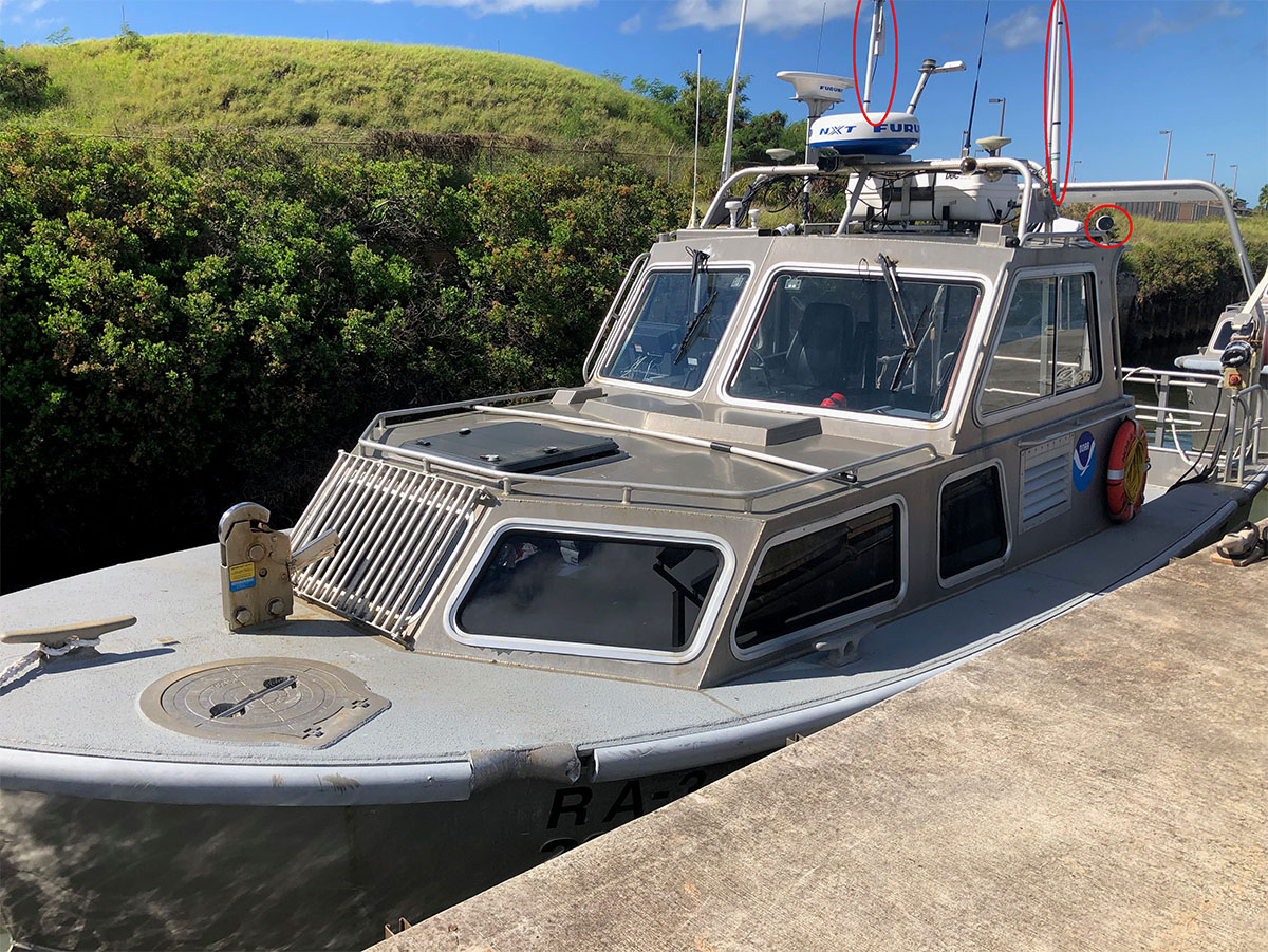
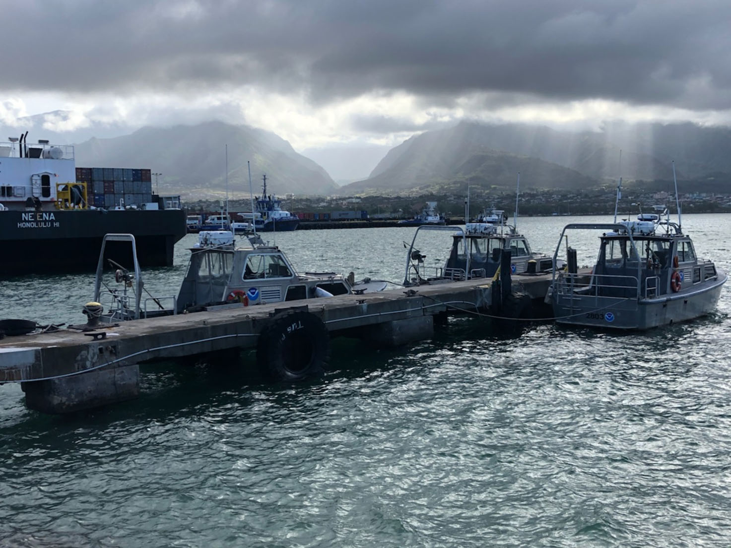
For more than 50 years, NOAA Ship Rainier and its hydrographic survey launches have surveyed the Pacific seafloor. During this time, Rainier sailed thousands of miles, including the entire U.S. west coast, Alaska, and Hawaii. This year, Rainier expands on its traditional role of hydrographic survey and is supporting dive operations in the Northwest Hawaiian Islands and in the Papahānaumokuākea Marine National Monument. While Rainier is sailing these remote coral atolls, the survey launches — that are usually in its davits and deployed directly from the ship — are tasked to their own surveys around the islands of Maui, Moloka’i, and O’ahu.

Continue reading “Hawaiian island surveys will update nautical charts and support habitat mapping efforts”

NOAA Ship Rainier successfully field tests autonomous hydrographic survey launch

Autonomous survey launch.

By Lt. j.g. Airlie Picket

NOAA Ship Rainier field tested a new hydrographic survey platform this season. Last winter, one of the ship’s hydrographic survey launches was converted into a semi-autonomous vessel, allowing it to be operated remotely.  Hydrographic surveying is, by nature, dangerous. Autonomous systems have the potential to augment traditional surveying methods, improving efficiency and decreasing (or eliminating) risk to the surveyors themselves. As such, this technology is an exciting step toward fully-autonomous hydrographic survey systems.

Continue reading “NOAA Ship Rainier successfully field tests autonomous hydrographic survey launch”

Saildrone launched with seafloor mapping capabilities in the Gulf of Mexico shows promise for remote Arctic mapping

Rear Adm. Shep Smith, Richard Jenkins, and Brian Connon in front of a Saildrone.

NOAA’s Office of Coast Survey, the University of Southern Mississippi (USM), and Saildrone accomplished a key milestone in the research and testing of unmanned technology that can lead to enhanced seafloor mapping capabilities with the launch of the first Saildrone — a wind-driven and solar-powered unmanned surface vehicle (USV) — equipped with multibeam echo sounder technology in the Gulf of Mexico. NOAA anticipates the success of this mission and technical achievement will lead to mapping projects in the Arctic.

Continue reading “Saildrone launched with seafloor mapping capabilities in the Gulf of Mexico shows promise for remote Arctic mapping”