Register for NOAA Nav-cast webinar: NOAA’s nowCOAST

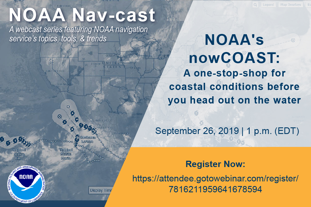
Image announcing Nav-cast webinar.

UPDATE: The Nav-cast scheduled for 9/26 at 1 p.m. (EDT) is cancelled and will be rescheduled at a later date. We apologize for the inconvenience.

Join us for our next NOAA Nav-cast, a quarterly webinar series that highlights the tools and trends of NOAA navigation services.

NOAA’s nowCOAST: A one-stop-shop for coastal conditions before you head out on the water

NOAA’s nowCOAST (nowcoast.noaa.gov) — a free online interactive map viewer —provides situational awareness on present and future weather and oceanographic conditions for mariners and other coastal users by integrating data from across NOAA and regional observing systems. Users can assess present conditions by creating maps of the latest in-situ weather/marine weather observations, weather radar mosaics, cloud images from GOES weather satellites, and surface wind and sea-surface temperature analyses for the last few hours. Users can also obtain maps of critical weather/marine weather advisories, watches, and warnings, weather forecasts, tropical cyclone track and intensity forecasts, and forecast guidance of water levels, water temperature, salinity, and currents from NOAA oceanographic forecast models.  Users can display these maps using the nowCOAST map viewer or by connecting to its map services. nowCOAST operates in a high-availability hosting facility and is monitored 24 x 7.

Continue reading “Register for NOAA Nav-cast webinar: NOAA’s nowCOAST”
NOAA supports safe ferry transit in Puget Sound

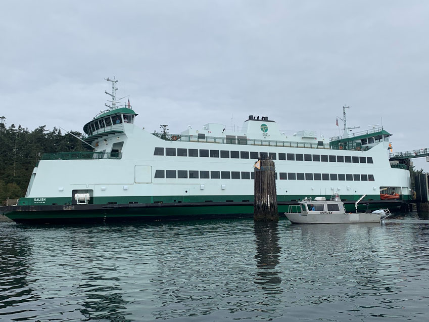
NRT-Seattle with the F/V Salish.

By Lt. j.g. Michelle Levano

If you have spent time on the water in Puget Sound, you have probably seen the large, distinct green and white vessels. These vessels move passengers, vehicles, and cargo across Puget Sound to the San Juan Islands and to Victoria, Canada, year round. They are a part of the Washington State Department of Transportation ferry system. The state has been operating ferries since 1951, and intended to run the ferry service until cross Sound bridges could be built.  These bridges were never built, and the state continues to operate the ferries to this day. As of last July, there are 22 state-operated ferries on Puget Sound, with the largest vessel able to carry 2500 passengers and 202 vehicles. 

Continue reading “NOAA supports safe ferry transit in Puget Sound”

S-100 sea trials: working toward harmonized navigation products

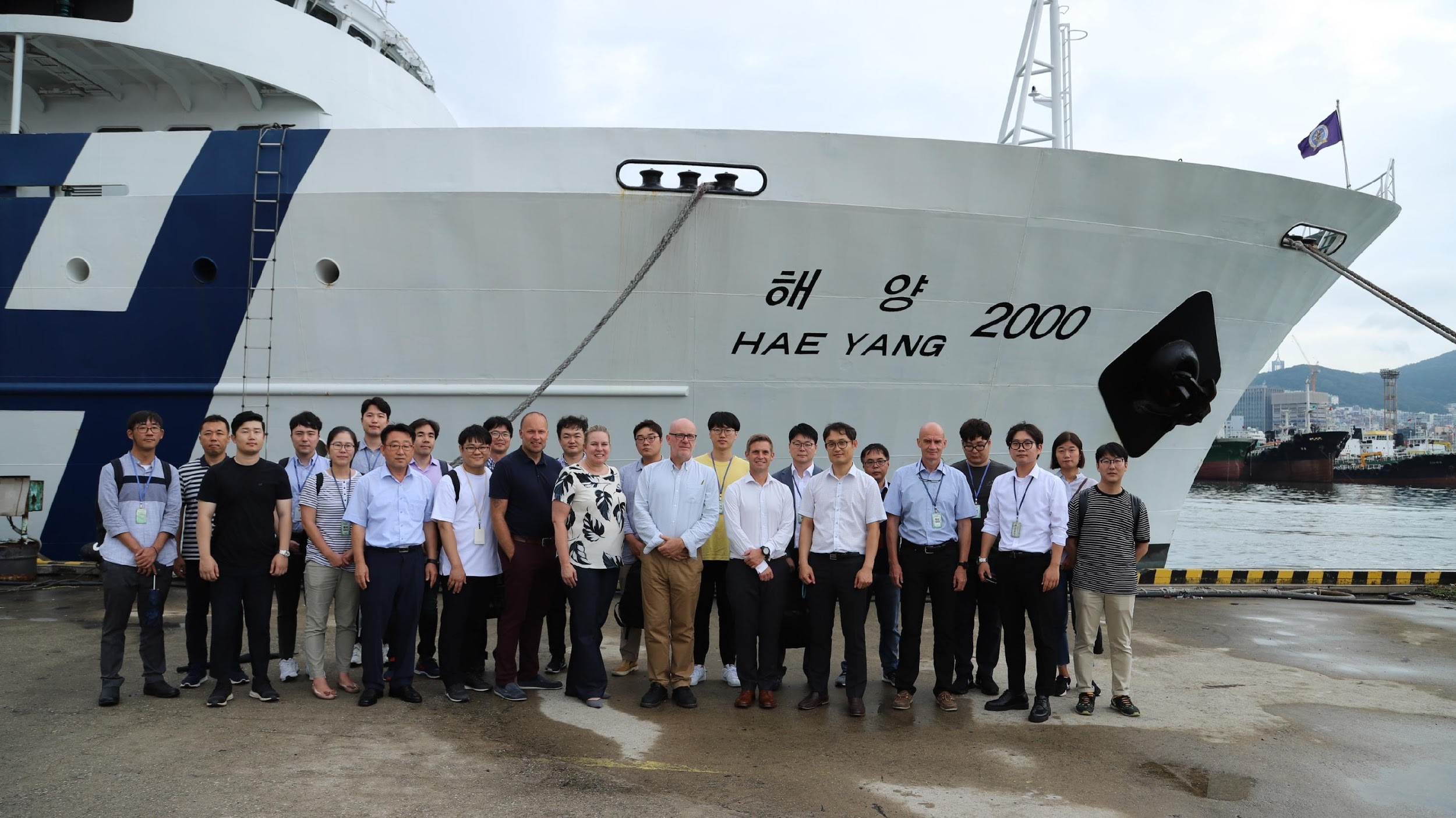
International team participating in the S-100 sea trial.

By Julia Powell, deputy division chief of the Coast Survey Development Lab

On August 27, an international contingent from the United States (NOAA), the United Kingdom Hydrographic Office, and the Canadian Hydrographic Service participated in the S-100 sea trial in Busan, Republic of Korea.

S-100 is the International Hydrographic Organization’s (IHO) Universal Hydrographic Data Model’s framework standard from which a variety of product specifications can be developed for use within navigation systems and marine spatial data infrastructure.  For many years, NOAA and the Ministry of Fisheries of the Republic of Korea have had a Joint Project Agreement and one of the projects is to develop and promote and S-100 test bed.  This test bed is designed to help further the development of S-100 infrastructure used to develop S-100 related products and further the testing of S-100 interoperability within navigation systems.

Continue reading “S-100 sea trials: working toward harmonized navigation products”