NOAA Ship Rainier returns to survey the Hawaiian coast, provides update on lava flow development

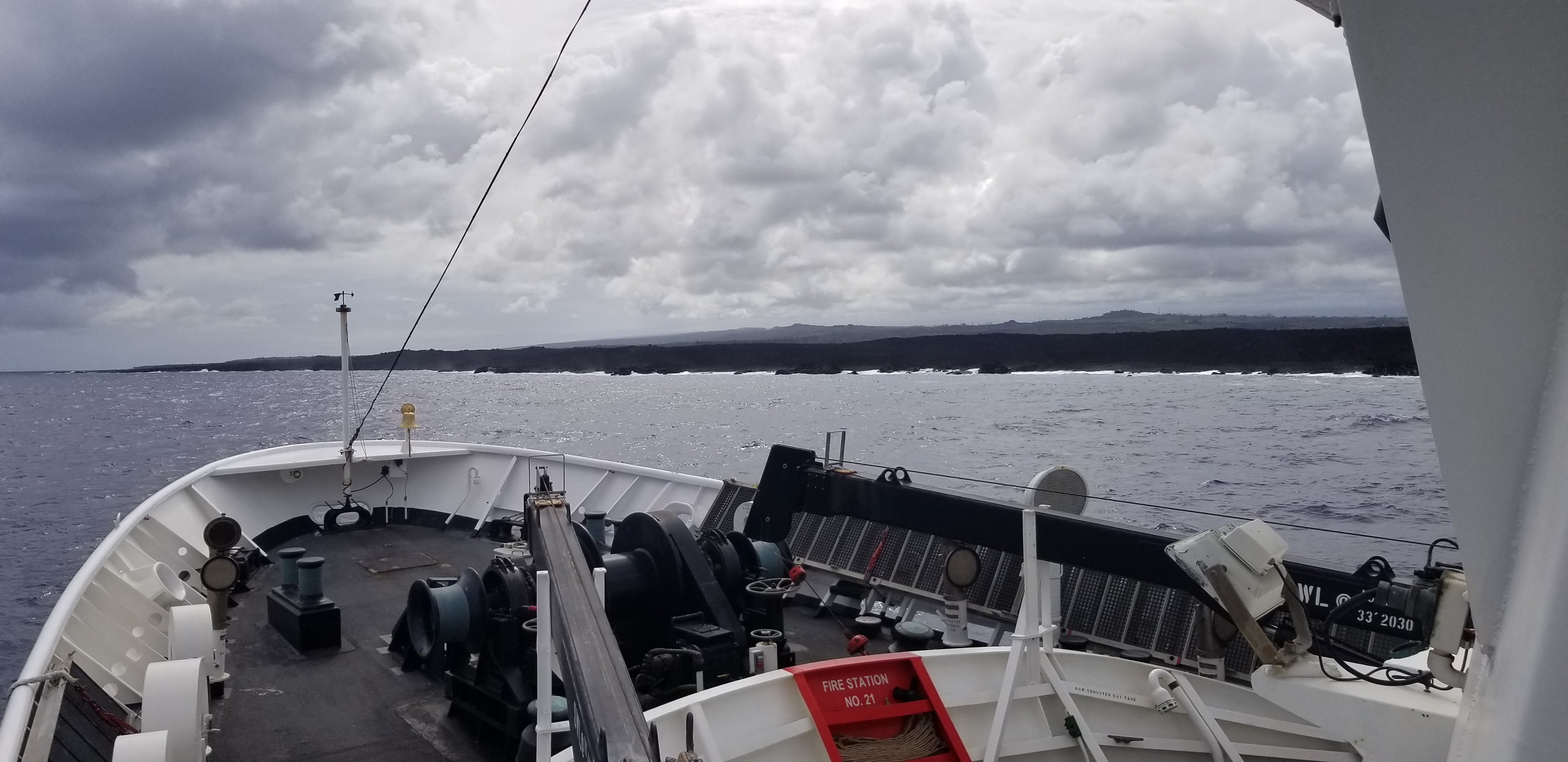
Rainier collects multibeam sonar data along Puna Coast on the Big Island of Hawaii.

By Ens. Harper Umfress

NOAA Ship Rainier’s four-decade tropical sonar silence is over and Hawaiian hydrography is back! The 2019 field season was productive, challenging, and geographically diverse. After starting the season with traditional hydrographic surveys in Alaska, Rainier was re-tasked to support science diving operations in the Papahānaumokuākea Marine National Monument that surrounds the Northwestern Hawaiian Islands. Though the primary purpose of this dispatch was to support coral reef research, the world’s most productive coastal hydrographic survey platform would have been remiss to forego this opportunity to ping new waters.

Continue reading “NOAA Ship Rainier returns to survey the Hawaiian coast, provides update on lava flow development”
NOAA seeks public comment on ending production of traditional paper nautical charts

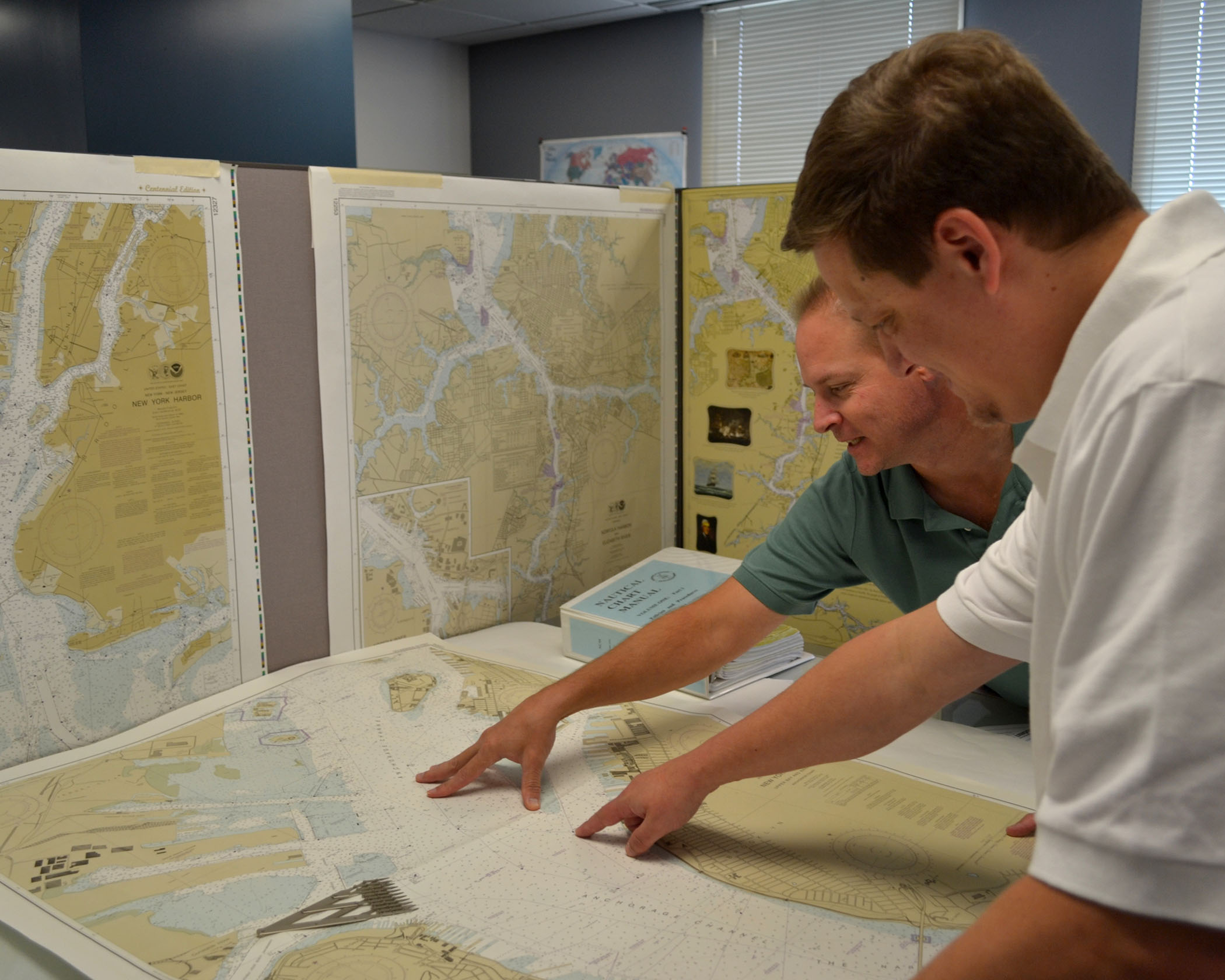
NOAA cartographers review a traditional printed nautical chart.

NOAA is initiating a five-year process to end all traditional paper nautical chart production and is seeking the public’s feedback via a Federal Register Notice published on November 15, 2019. Chart users, companies that provide products and services based on NOAA raster and electronic navigational chart (NOAA ENC®) products, and other stakeholders can help shape the manner and timing in which the product sunsetting process will proceed. Comments may be submitted through NOAA’s online ASSIST feedback tool.

Continue reading “NOAA seeks public comment on ending production of traditional paper nautical charts”

NOAA Ship Thomas Jefferson tests innovative DriX unmanned surface vehicle

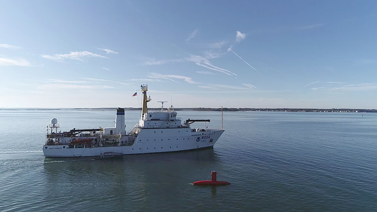
Drone photo of the DriX underway from the ship with the DDS still in the water.

By Ens. Taylor Krabiel

During the month of October, NOAA Ship Thomas Jefferson integrated and operated a DriX, an Unmanned Surface Vessel (USV) created by the French technology company iXblue. The primary goal of the project was to test iXblue’s unique deployment and recovery solution specifically designed for Thomas Jefferson’s on board survey launch davit. Survey launches are limited to daylight operations and deployment and recovery are the most challenging operations the ship undertakes. Utilizing a DriX for continuous survey operations without having to recover and/or service it for up to four days straight would significantly increase the ship’s efficiency.

Continue reading “NOAA Ship Thomas Jefferson tests innovative DriX unmanned surface vehicle”