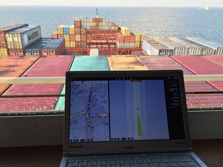
In anticipation of the temporary closure of the Gulf Intracoastal Waterway (GIWW)’s Inner Harbor Canal Lock, the Office of Coast Survey released three updated NOAA electronic navigational charts (NOAA ENC®) reflecting the Chandeleur Sound Alternate Route and the addition of 97 Aids to Navigation (ATON). The updated charts include US5LA24M, US4LA34M, and US4MS12M and can be viewed in NOAA’s ENC Viewer or downloaded from NOAA’s Chart Locator.
Continue reading “Nautical charts reflect alternate route along Gulf Intracoastal Waterway”NOAA awards cooperative agreement to UNH/NOAA Joint Hydrographic Center
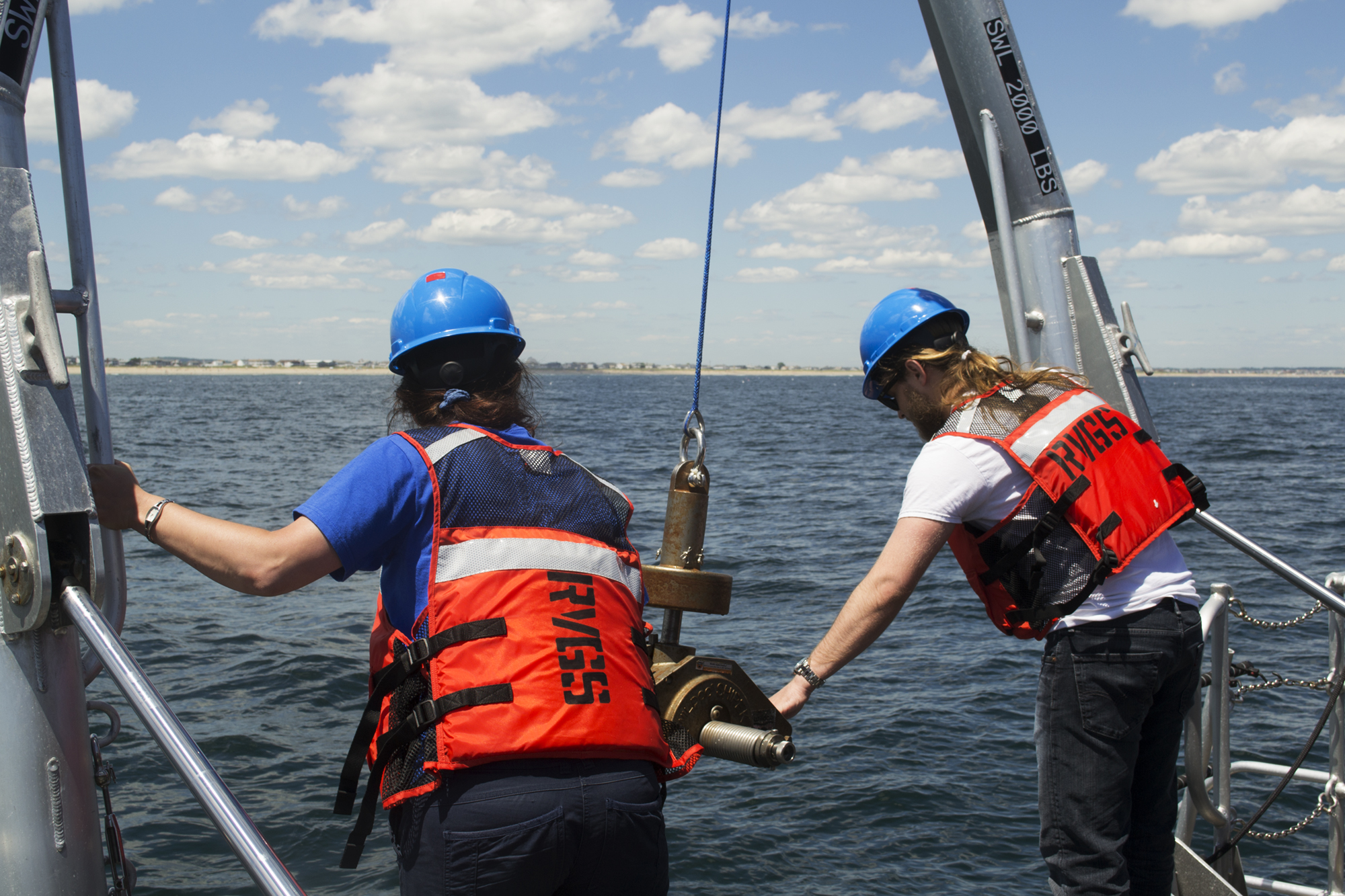
NOAA’s Office of Coast Survey awarded a 5-year cooperative agreement to the University of New Hampshire for the continuation of the Joint Hydrographic Center. The Joint Hydrographic Center is a NOAA/University research and education partnership aimed at maintaining a world-leading center of excellence in hydrography and ocean mapping. The new award, which will begin in January 2021, will build on the work of the Center since its founding in 1999.
Continue reading “NOAA awards cooperative agreement to UNH/NOAA Joint Hydrographic Center”NOAA Coast Survey’s new strategy supports charting mandates and broader seafloor mapping
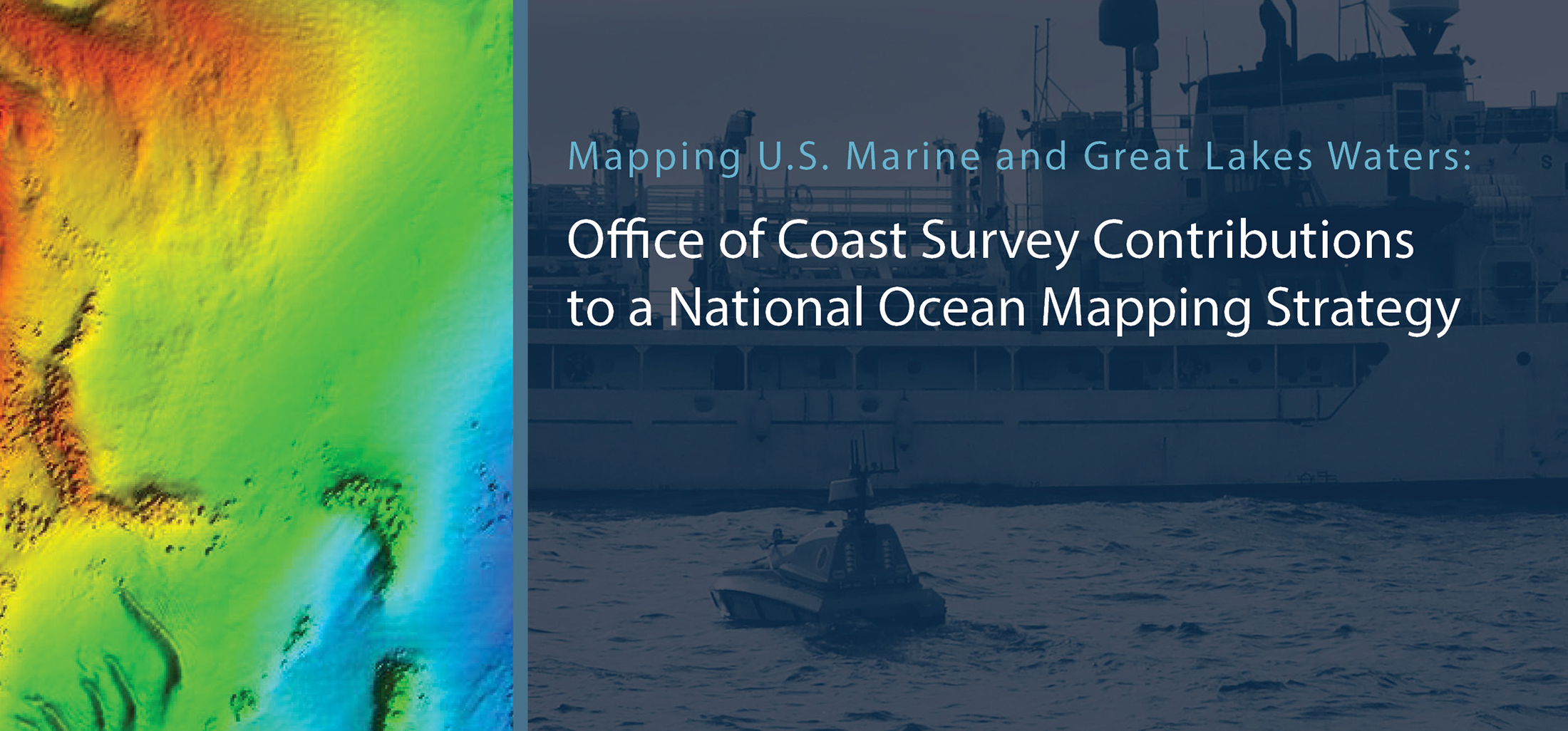
This week, NOAA’s Office of Coast Survey released the Mapping U.S. Marine and Great Lakes Waters: Office of Coast Survey Contributions to a National Ocean Mapping Strategy. This report is part of NOAA’s ongoing commitment to meet core surveying and nautical charting mandates while supporting broader needs to fill gaps in seafloor mapping and environmental sciences.
Continue reading “NOAA Coast Survey’s new strategy supports charting mandates and broader seafloor mapping”NOAA releases prototype surface current forecast data for industry testing
Prototype data for surface current forecasts in the International Hydrographic Organization (IHO) S-111 format is now available for testing through the NOAA Big Data Program. In June, NOAA announced that we were preparing surface current forecast data for dissemination trials. Now that these data are available, industry can integrate these prototype data into different types of navigation software systems such as portable pilot units and under keel clearance systems. By making these data more accessible, more machine-to-machine readable, and more integrated, NOAA aims to amplify the power of our navigation data for users across the maritime industry.
Continue reading “NOAA releases prototype surface current forecast data for industry testing”


