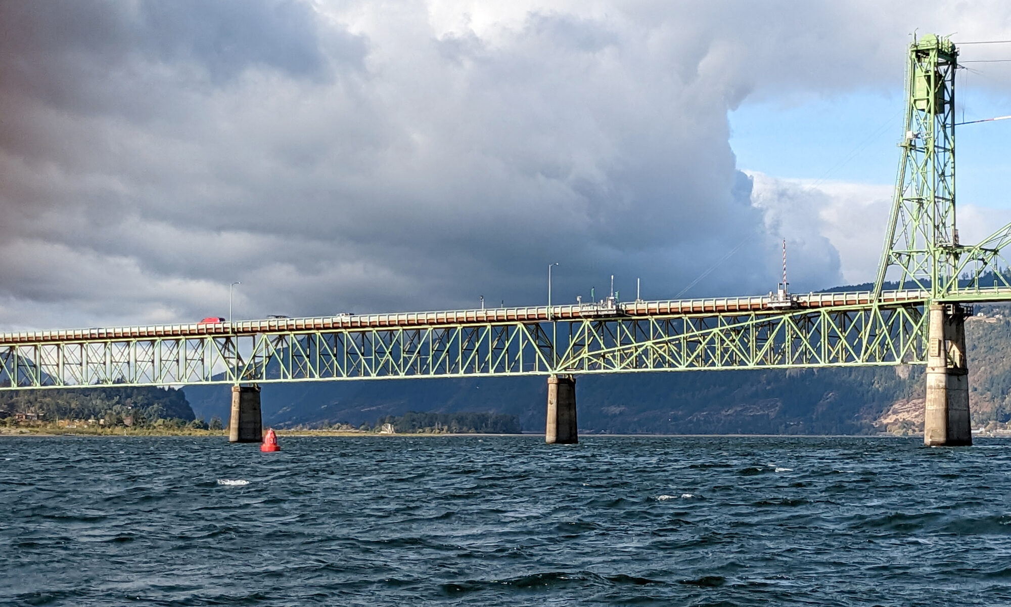
The Columbia River and its tributaries comprise one of the largest river systems in North America, flowing from British Columbia, Canada and through the United States to its final destination, the Pacific Ocean. The river is used extensively for transporting various cargoes into and out of the United States including forest products, grain, containerized cargo and bulk products like salt and cement. Upstream of Portland, barge and recreational traffic navigate the river to Kennewick, Washington or Lewiston, Idaho on the Snake River. For the people that use this river for its resources, this traffic almost assuredly has some type of ecological impact.
Continue reading “Supporting the mighty Columbia River through strong partnerships”Geospatial information in the Southwestern Pacific
By Dr. John Nyberg

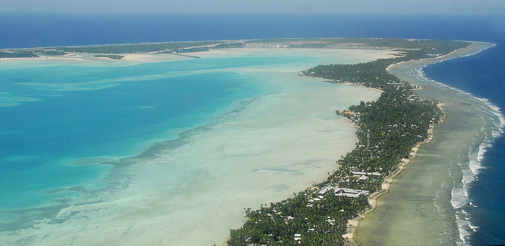
NOAA’s Office of Coast Survey Deputy Hydrographer Dr. John Nyberg participated in a State Department Science Fellowship through the U.S. Embassy in Suva, Fiji this past summer. The fellowship’s main goal for the region is to assist in accelerating the use of coastal and marine spatial planning for marine conservation and to deliver a curriculum to support it. Dr. Nyberg was asked to pay particular attention to engaging Kiribati (pronounced Kiribas), home to the Phoenix Islands Protected Area, one of the world’s largest and most important protected areas. The government of Kiribati is in the process of re-evaluating their approach toward managing the area, and one of the primary goals is to encourage the use of marine spatial planning in that process.


