The National Ocean Mapping, Exploration, and Characterization Council (NOMEC Council), a group of federal agencies established to carry out the National Strategy for Mapping, Exploring, and Characterizing the United States Exclusive Economic Zone, requests your input on developing an Implementation Plan and setting strategic priorities for the effort to map the entire U.S. Exclusive Economic Zone (EEZ) by 2040 and explore and characterize strategic areas.
Continue reading “Make your voice heard: Provide input on ocean mapping, exploration, and characterization efforts in the U.S. EEZ”NOAA hydrographic community prepares for field season at annual workshop
The field of hydrography, like most sciences, is comprised of experts honing their craft, improving their tools, building upon the successes of previous years, and learning from their mistakes. Hydrographers typically accomplish this iterative process in the field, publishing papers, presenting at industry conferences, and often through discussions over the phone or via email. However, once a year, the NOAA hydrographic community — those who measure and describe the features of the seafloor to update nautical charts and support a variety of sciences — meets at the Field Procedures Workshop to not only share information, but have frank discussions about their challenges and the path forward in preparation for the upcoming hydrographic field season.
Continue reading “NOAA hydrographic community prepares for field season at annual workshop”Change of command for NOAA Ship Rainier
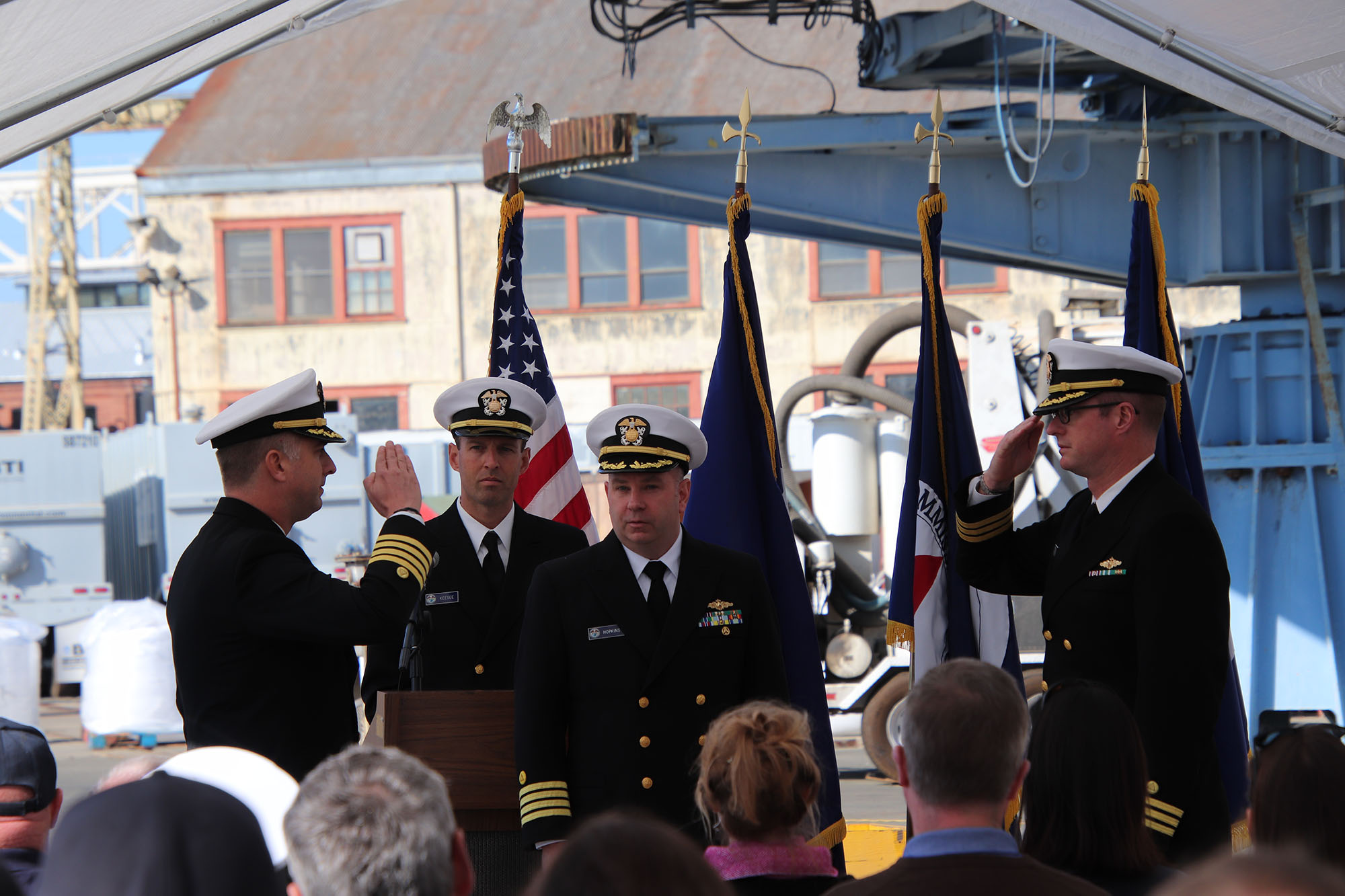
On November 15, 2019, the crew of NOAA Ship Rainier hosted a change of command in Valejo, California. Cmdr. Sam Greenaway accepted command of Rainier, relieving Capt. Ben Evans in a ceremony led by Capt. Michael Hopkins, commanding officer of NOAA’s Office of Marine and Aviation Operations (OMAO) Marine Operations Center-Pacific.
Continue reading “Change of command for NOAA Ship Rainier”Register for NOAA Nav-cast webinar: NOAA’s nowCOAST
UPDATE: The Nav-cast scheduled for 9/26 at 1 p.m. (EDT) is cancelled and will be rescheduled at a later date. We apologize for the inconvenience.
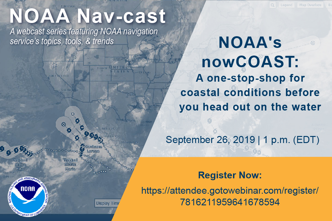
Join us for our next NOAA Nav-cast, a quarterly webinar series that highlights the tools and trends of NOAA navigation services.
NOAA’s nowCOAST: A one-stop-shop for coastal conditions before you head out on the water
NOAA’s nowCOAST (nowcoast.noaa.gov) — a free online interactive map viewer —provides situational awareness on present and future weather and oceanographic conditions for mariners and other coastal users by integrating data from across NOAA and regional observing systems. Users can assess present conditions by creating maps of the latest in-situ weather/marine weather observations, weather radar mosaics, cloud images from GOES weather satellites, and surface wind and sea-surface temperature analyses for the last few hours. Users can also obtain maps of critical weather/marine weather advisories, watches, and warnings, weather forecasts, tropical cyclone track and intensity forecasts, and forecast guidance of water levels, water temperature, salinity, and currents from NOAA oceanographic forecast models. Users can display these maps using the nowCOAST map viewer or by connecting to its map services. nowCOAST operates in a high-availability hosting facility and is monitored 24 x 7.
Continue reading “Register for NOAA Nav-cast webinar: NOAA’s nowCOAST”NOAA hosts 2019 Nautical Cartography Open House and Chart Adequacy Workshop
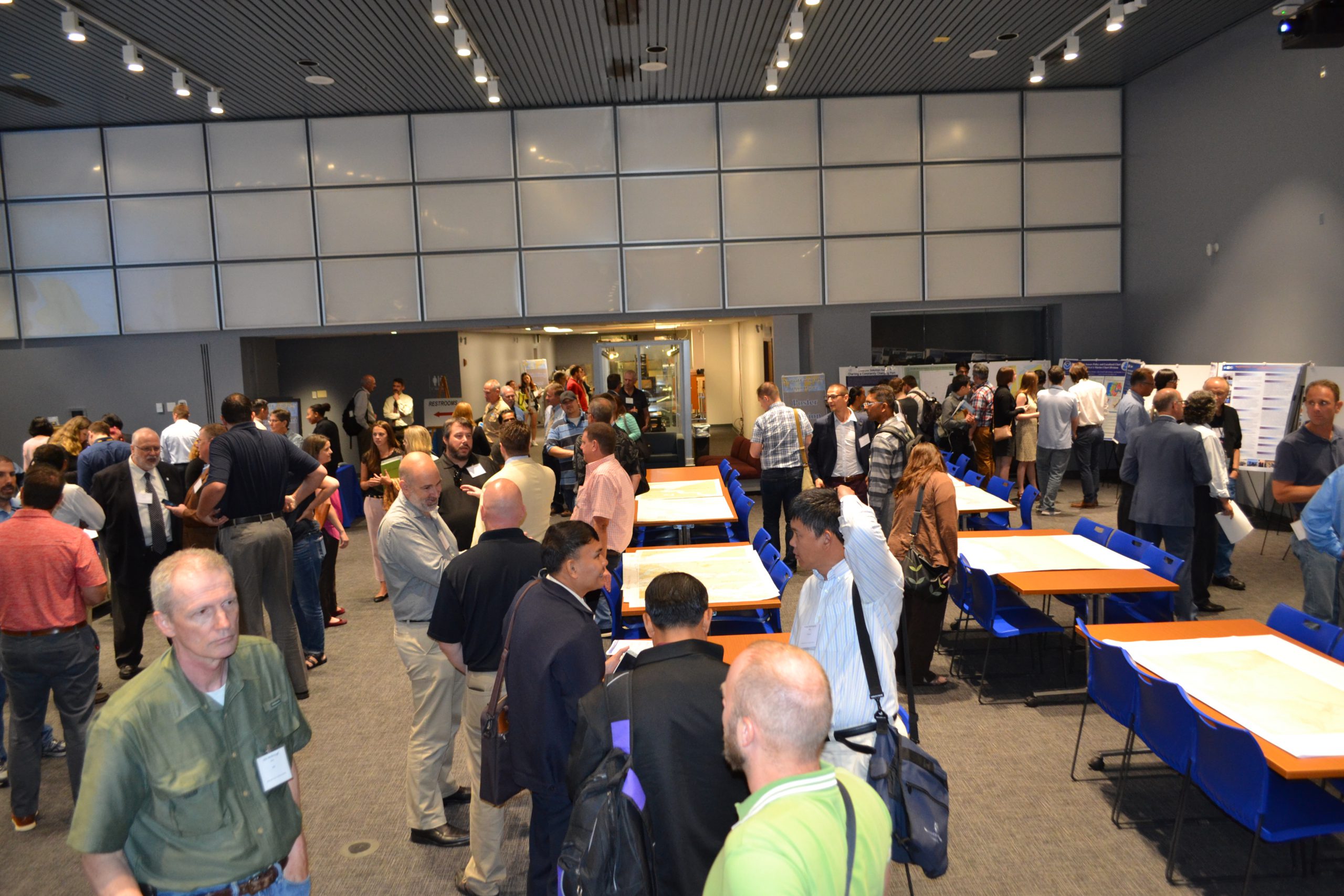
Last week, NOAA’s Office of Coast Survey held its third annual Nautical Cartography Open House welcoming over 250 attendees from the U.S. and abroad. Government agencies, industry and academic partners, and members of the public attended. The open house featured posters, presentations, tours, and exhibits centered around four themes: Bathymetric Databases, Custom Charting, Innovative Cartography, and Precision Navigation. Dr. Shachak Pe’eri, organizer of the event and chief of the Cartographic Support Branch in the Marine Chart Division, welcomed attendees in the morning and John Nyberg, chief of the Marine Chart Division, gave the keynote speech.
Continue reading “NOAA hosts 2019 Nautical Cartography Open House and Chart Adequacy Workshop”NOAA hosts first open house on nautical cartography
NOAA’s Office of Coast Survey hosted the first NOAA open house on nautical cartography on Friday, July 7th. The event featured posters, presentations, and tours focusing on nautical cartography, highlighting the field of charting and GIS. Industry partners such as ESRI, CARIS, Fugro Palegos, Inc., and IIC Technologies, international mapping groups such as Cartography and Geographic Information Society (CaGIS) and General Bathymetric Chart of the Oceans (GEBCO), government agencies such as U.S. Army Corps of Engineers and the Navy, and many international charting offices were in attendance. The open house welcomed a total of 200 visitors, representing 24 countries. Continue reading “NOAA hosts first open house on nautical cartography”
NOAA announces open house on nautical cartography
NOAA’s Office of Coast Survey is pleased to announce its first one-day open house in conjunction with the International Cartographic Conference (held this year in Washington, DC, at Marriott Wardman Park). This one-day event will focus on nautical cartography, highlighting the field of charting and GIS. It will offer nautical cartography-themed posters, presentations, tours, and exhibits. Participants will include industry partners, government agencies, and charting offices from around the world. This event is open to the public. Continue reading “NOAA announces open house on nautical cartography”
NOAA Ship Rainier surveys the waters around Kodiak Island
by ENS Michelle Levano
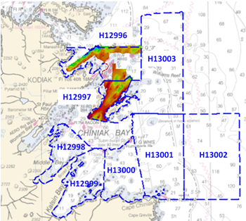
Kodiak Island is the 2nd largest island in the United States; it is part of the Kodiak Island Archipelago, a group of islands roughly the size of Connecticut. Due to the island’s location in the Gulf of Alaska and North Pacific Ocean, Kodiak is ranked as third in commercial fishing ports in the U.S. in terms of value of seafood landed. In 2015, the Port of Kodiak was responsible for 514 million pounds of fish and $138 million of product. More than one-third of the jobs in Kodiak are related to the fishing industry.
The Port of Kodiak is home to more than 700 commercial fishing vessels, and has more than 650 boat slips and three commercial piers that can dock vessels up to 1,000 feet. In addition to fishing, Kodiak is the hub of the Gulf of Alaska container logistics system, serving the southwest Alaskan communities with consumer goods and outbound access to the world’s fish markets. Continue reading “NOAA Ship Rainier surveys the waters around Kodiak Island”
Get your hands on science at the NOAA Open House
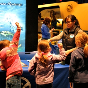
Explore your world and learn how NOAA takes the pulse of the planet every day and protects and manages ocean and coastal resources. Join us on NOAA’s Silver Spring, Maryland, campus for a series of free activities, including engaging talks by NOAA experts, interactive exhibits, special tours, and hands-on activities for ages 5 and up. Meet and talk with cartographers, scientists, weather forecasters, hurricane hunters, and others who work to understand our environment, protect life and property, and conserve and protect natural resources. Learn some of Coast Survey’s heritage and see a historic printing press that we actually used to print charts in the 1800s.
Visit www.noaa.gov/openhouse for details or call 240-533-0710 for more information.
Continue reading “Get your hands on science at the NOAA Open House”
NOAA Open House to share scientific awesomeness
Explore your world and learn how NOAA — the National Oceanic and Atmospheric Administration — takes the pulse of the planet every day and protects and manages ocean and coastal resources. 
Join us on NOAA’s Silver Spring, Maryland, campus for a day of discovery. Listen to engaging talks by NOAA experts, explore interactive exhibits, take special tours, and have fun with hands-on activities for ages 5 and up. Meet and talk with scientists, weather forecasters, hurricane hunters, cartographers, and others who work to understand our environment, protect life and property, and conserve and protect natural resources.
Continue reading “NOAA Open House to share scientific awesomeness”


