Bringing nautical charts of the Erie Canal into the digital era

The construction of the Erie Canal was one of 19th Century America’s most significant feats of engineering. Built between 1817 and 1825, the canal provided a water route from Albany to Buffalo, New York, nearly 363 miles to the west. The Canal connected the Hudson River with the Great Lakes via parts of the Mohawk River, through various land cuts and natural lakes. The New York State Public Works Department and the US War Department’s Corps of Engineers began geographically documenting the canal’s route with maps and nautical charts beginning in 1917. The Department of Commerce’s National Oceanic and Atmospheric Administration took ownership of the charts in the early 1970’s and has maintained and updated them for over 50 years. Currently, these charts are undergoing changes to usher them into the digital era of electronic navigational charts.

Check out our digitizing the Erie Canal ArcGIS StoryMap linked here or click the image below!

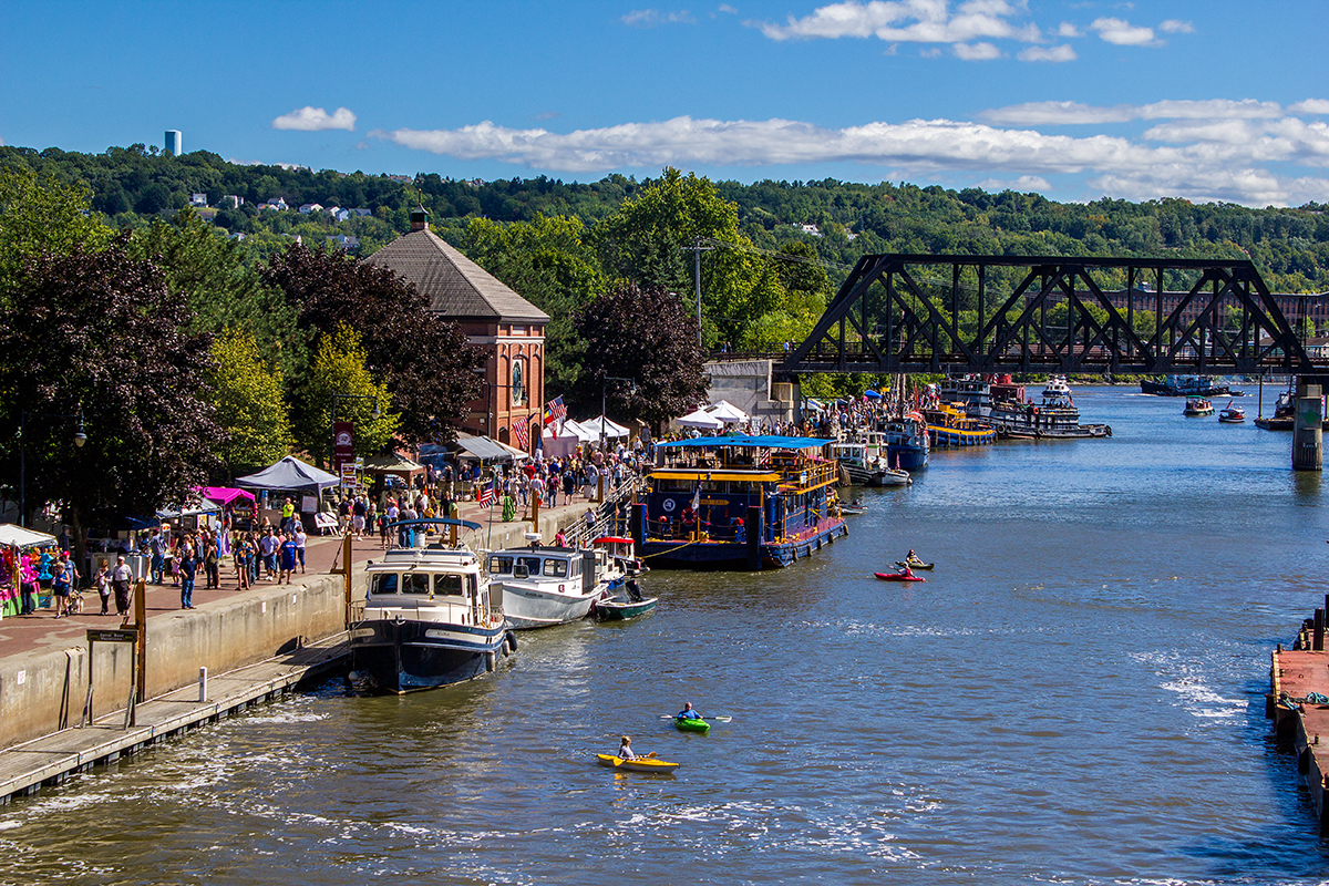
An image showing the Erie Canal at Waterford, New York during a festival.
An image showing the Erie Canal at Waterford, New York during a festival. Credit: Erie Canalway National Heritage Corridor/Halldor K. Sigurdsson.

NOAA helps develop undergraduate course in lakebed mapping

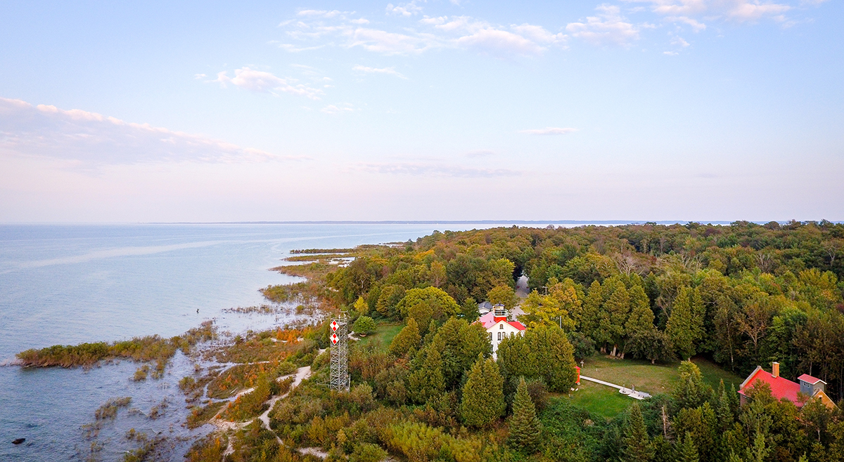
Grand Traverse Light aerial of Northport Michigan.

As the New Blue Economy grows along with demands for a climate-ready workforce, NOAA is connecting the dots between climate resilience and the need for a workforce skilled in science and technology supporting ocean and coastal mapping. Exposure to key disciplines, from geodesy, oceanography, and science data management to modeling, hydrography and GIS-based cartography, is critical to building robust interest, opportunities and expertise in the government and industry geospatial careers supporting climate resilience. NOAA works with a variety of partners to advance workforce development in these foundational geospatial areas. In particular, hydrography – measuring water depths, locating hazards, and describing the seafloor – is a challenging but exciting field dependent on skilled technicians, surveyors, and scientists to acquire mapping data using state-of-the-art technologies. With only 50% of U.S. coastal, ocean and Great Lakes waters mapped, there is a lot of work to do! Read on to learn about a hydrographic surveying project NOAA is supporting with Northwestern Michigan College in the Great Lakes.

Continue reading “NOAA helps develop undergraduate course in lakebed mapping”

NOAA Ship Thomas Jefferson completes productive field season in the Great Lakes

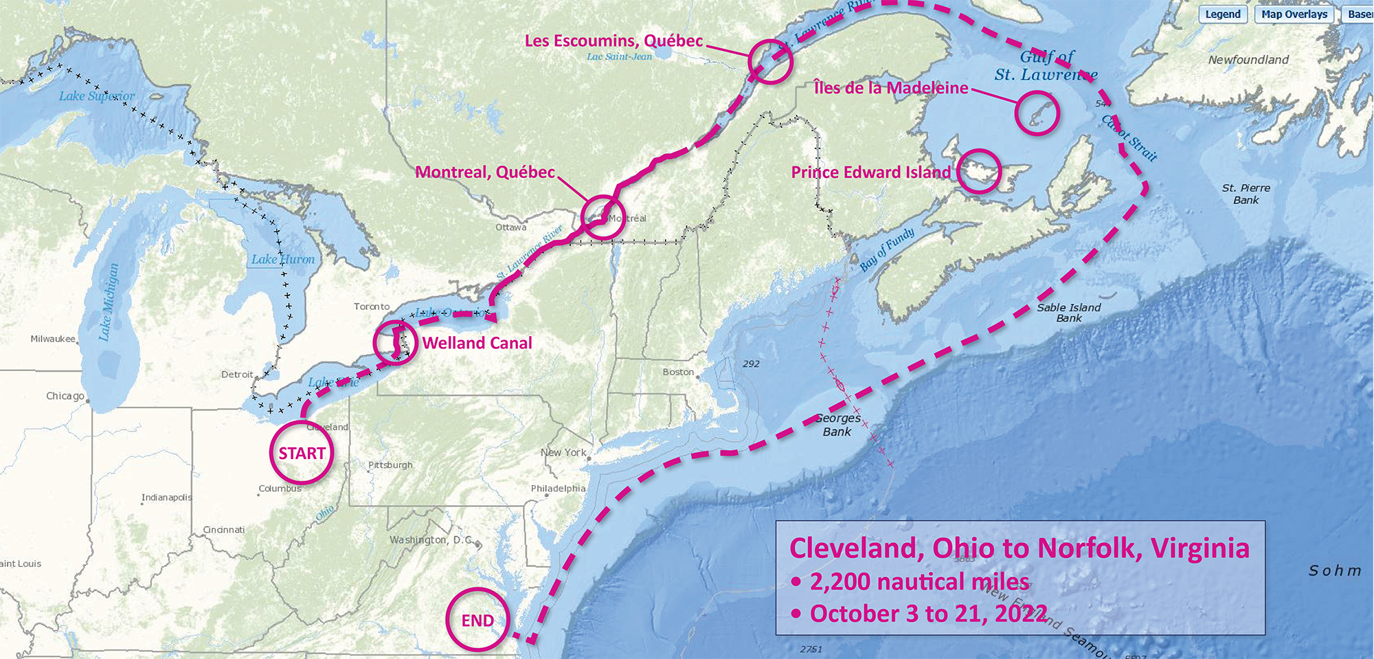
A graphic showing the route NOAA Ship Thomas Jefferson took returning back to Norfolk, Virginia after the 2022 field season.

Although NOAA has a significant presence in the Great Lakes, this is the first time a white-hulled NOAA hydrographic ship has deployed there since the early 1990s. As a result of survey work in the Great Lakes, NOAA Ship Thomas Jefferson surveyed 450 square nautical miles of lake bottom in Lake Erie – an economically important and ecologically sensitive region. The ship also surveyed 274 square nautical miles in Lake Ontario in October. In both lakes, there were 42 confirmed and new shipwrecks identified along with 22 additional features!

Continue reading “NOAA Ship Thomas Jefferson completes productive field season in the Great Lakes”