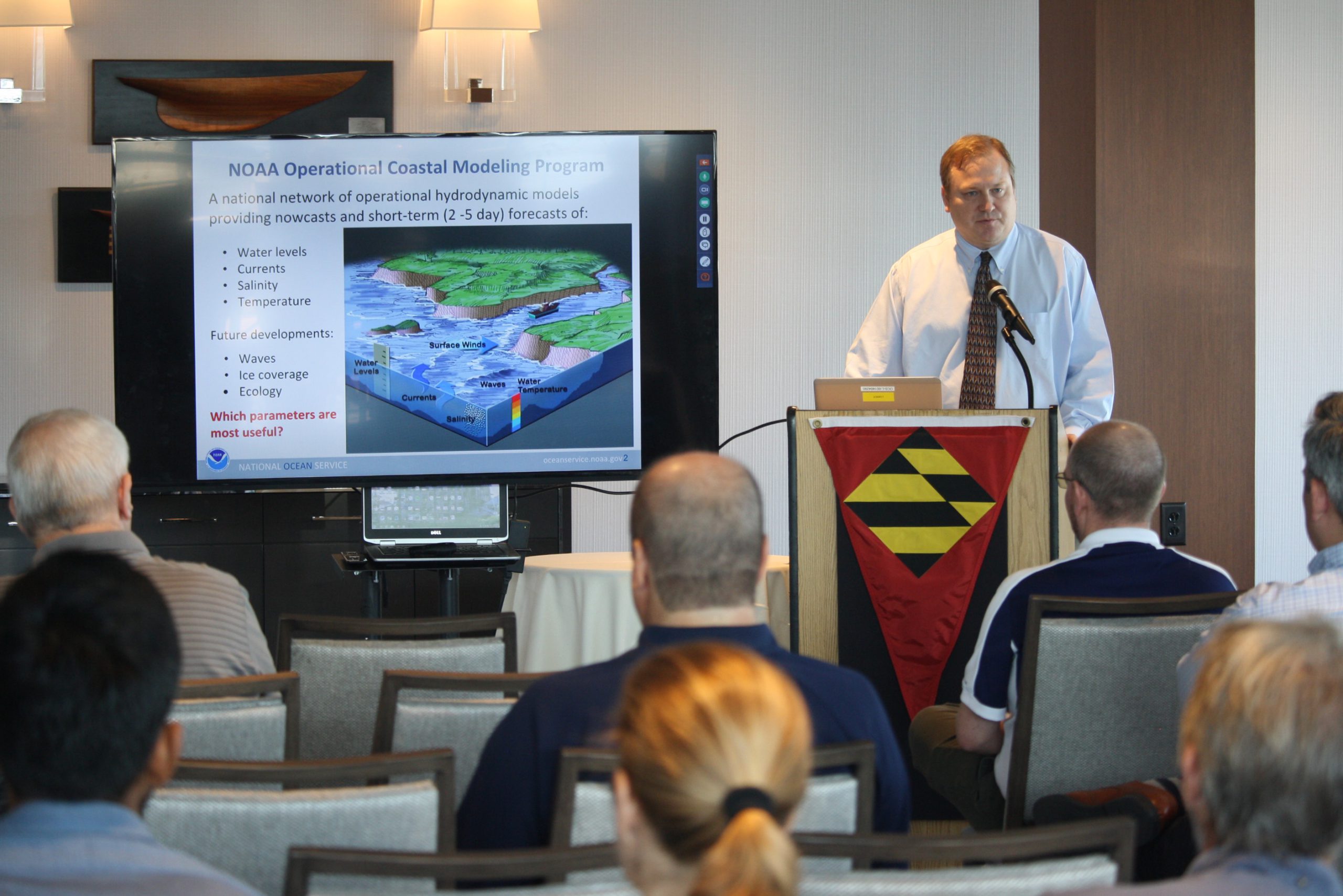
The 2017 Atlantic hurricane season was powerful, with the strongest storms occurring consecutively from late August to early October. The sequential magnitude of four hurricanes in particular—Harvey, Irma, Maria, and Nate—made response efforts challenging for NOAA’s Office of Coast Survey. Coast Survey summarized this season’s response efforts along with the efforts of NOAA Ship Thomas Jefferson (operated by NOAA’s Office of Marine and Aviation Operations) in the following story map. Continue reading “NOAA Office of Coast Survey wraps up a busy 2017 hurricane season”
NOAA Ship Fairweather uses new technology to improve survey efficiency
By ENS Peter Siegenthaler
Following the scheduled winter repair period, Fairweather is kicking off the 2017 field season in Tlevak Strait; the waterway between Dall Island and Prince of Wales Island in Southeast Alaska. This area was last surveyed between 1900 and 1939, and the lead-lines used at the time to determine depths were susceptible to omission of rocks and other features in an area. Using the latest innovations in hydrographic technology, Fairweather will be resurveying these areas with complete coverage multibeam echo sounder bathymetry. This allows Fairweather to identify any rocks or shoal features missed in prior surveys, increasing the safety for local communities, whose economies and livelihoods are dependent on maritime transportation of goods. Continue reading “NOAA Ship Fairweather uses new technology to improve survey efficiency”
Storm surge model provides vital info for #Blizzard2016
See the ESTOFS output here, or check nowCOAST for model output integrated with other data.
Continue reading “Storm surge model provides vital info for #Blizzard2016”