NOAA completes hydrographic surveys following Hurricane Barry

Lt. j.g. Patrick Lawler and Lt. j.g. Michelle Levano remove the side scan sonar from the water.

By Lt. j.g. Michelle Levano

Seven tropical cyclones in the Atlantic Ocean have been named Barry, with the first storm making landfall in 1983. In 2019, Hurricane Barry reached Category 1 status on July 13, becoming the first hurricane of the 2019 season. 

On July 11, Office of Coast Survey’s Gulf Coast Navigation Manager, Tim Osborn, received requests from U.S. Coast Guard, U.S. Army Corps of Engineers, and local ports for resources to confirm navigational depths in Louisiana waters. Once a navigation manager receives requests for hydrographic surveys, Coast Survey formulates logistics to complete these requests. In the case of Hurricane Barry, Coast Survey’s navigation response team (NRT)- Stennis mobilized to respond to Port Fourchon, Louisiana’s southernmost port. Port Fourchon supports significant petroleum industry traffic coming in from the Gulf of Mexico, furnishing about 18% of the U.S. oil supply

Continue reading “NOAA completes hydrographic surveys following Hurricane Barry”

NOAA releases 2019 hydrographic survey plans

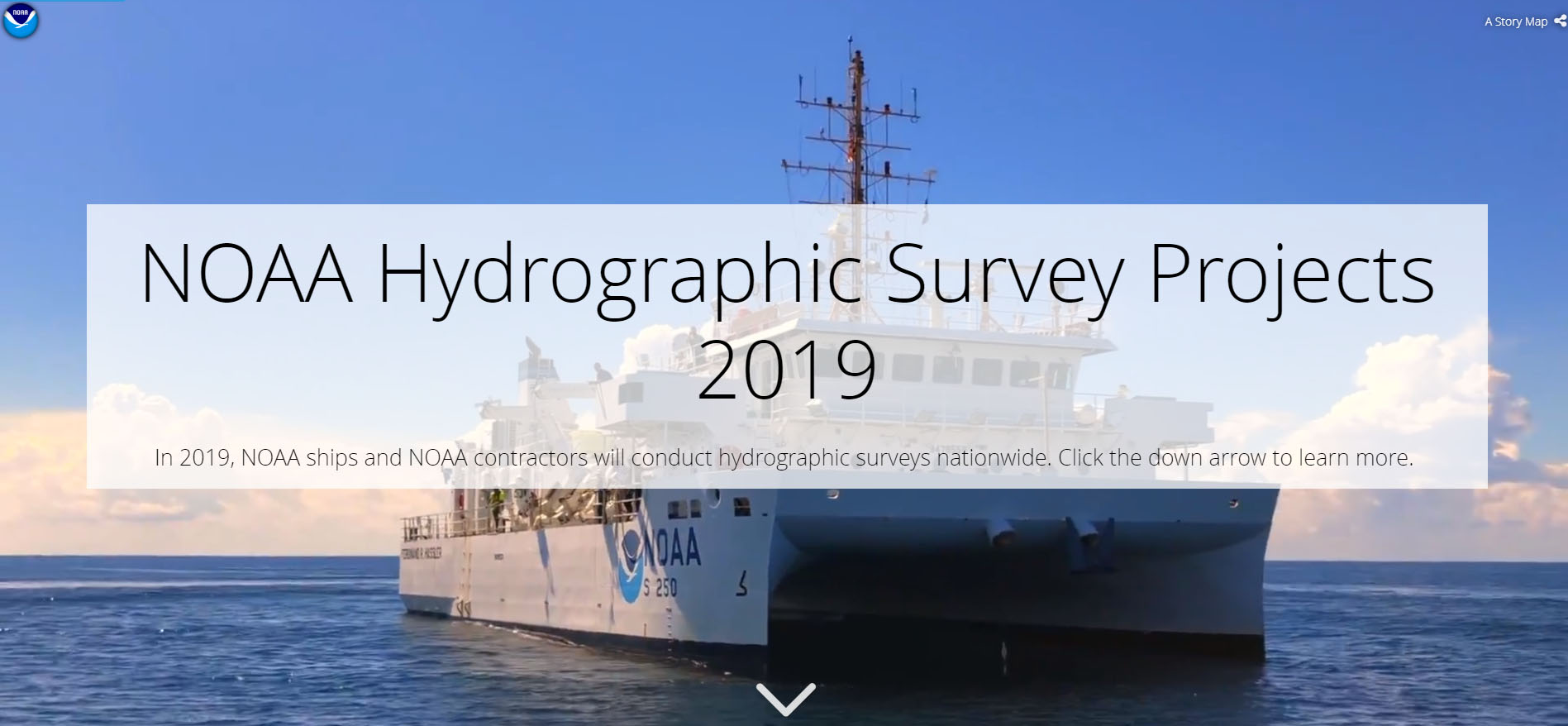
NOAA Hydrographic Survey Projects 2019 story map cover

NOAA’s Office of Coast Survey is the nation’s nautical chartmaker, and maintains a suite of more than a thousand nautical charts. Coast Survey is responsible for charting U.S. waters and Great Lakes covering 3.4 million square nautical miles (SNM) of water and 95,000 miles of coastline.

NOAA’s hydrographic survey ships along with hydrographic contractor vessels, recently kicked off the 2019 hydrographic survey season. These surveys not only update the suite of nautical charts, but also help to maintain the safety of maritime commerce, recreational boaters, natural ecosystems, and much more. Operations are scheduled for maritime priority areas around the country and are outlined in Coast Survey’s “living” story map. Here is a list of where they are headed this year:

Continue reading “NOAA releases 2019 hydrographic survey plans”
NOAA releases new edition of nautical chart symbol guide

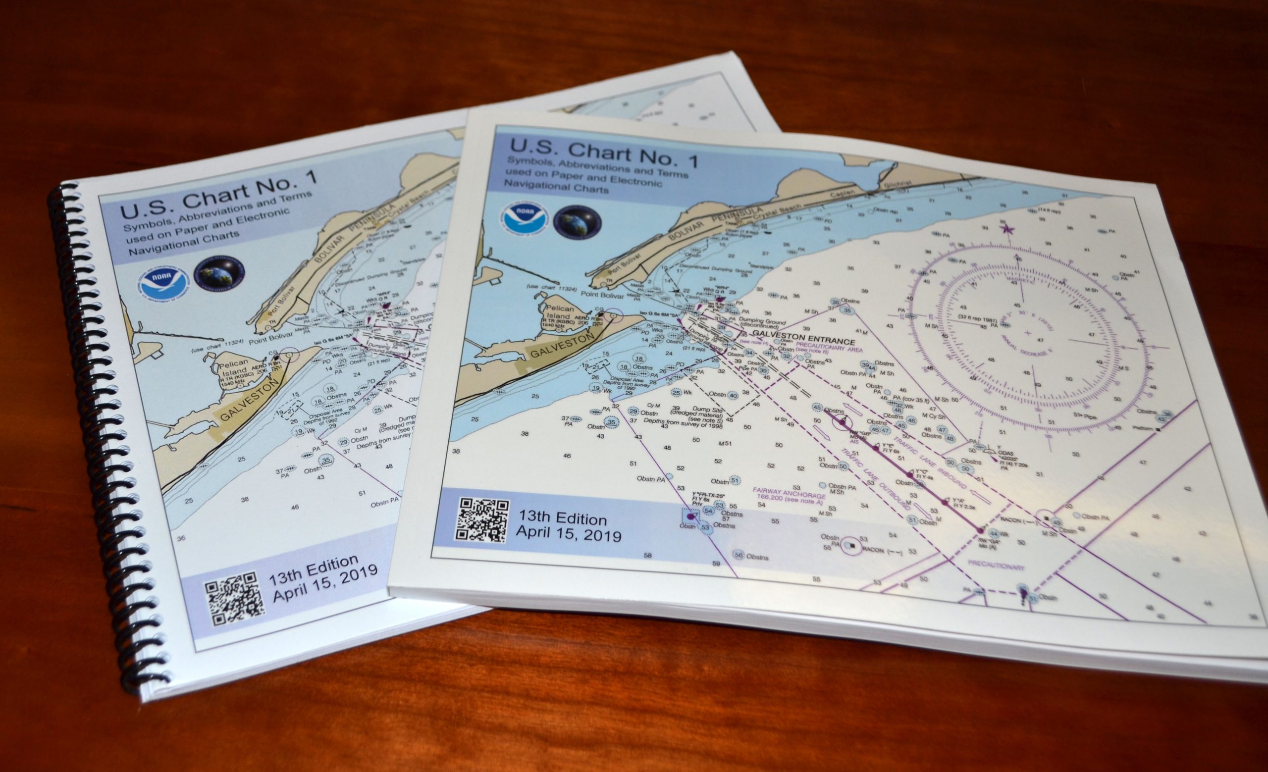
U.S. Chart No. 1 booklet covers

Edition 13 of U.S. Chart No. 1 is now available to download for free on Coast Survey’s website. Paper copies may also be purchased from any of four NOAA Chart No. 1 publishing agents.

This 130-page book describes the symbols, abbreviations, and terms used on paper  NOAA nautical charts and for displaying NOAA electronic navigational chart (NOAA ENC®) data on Electronic Chart Display and Information Systems (ECDIS). The document also shows paper chart symbols used by the National Geospatial-Intelligence Agency and symbols specified by the International Hydrographic Organization.

Continue reading “NOAA releases new edition of nautical chart symbol guide”

NOAA encourages all mariners to use NOAA ENC® for latest updates and other advantages

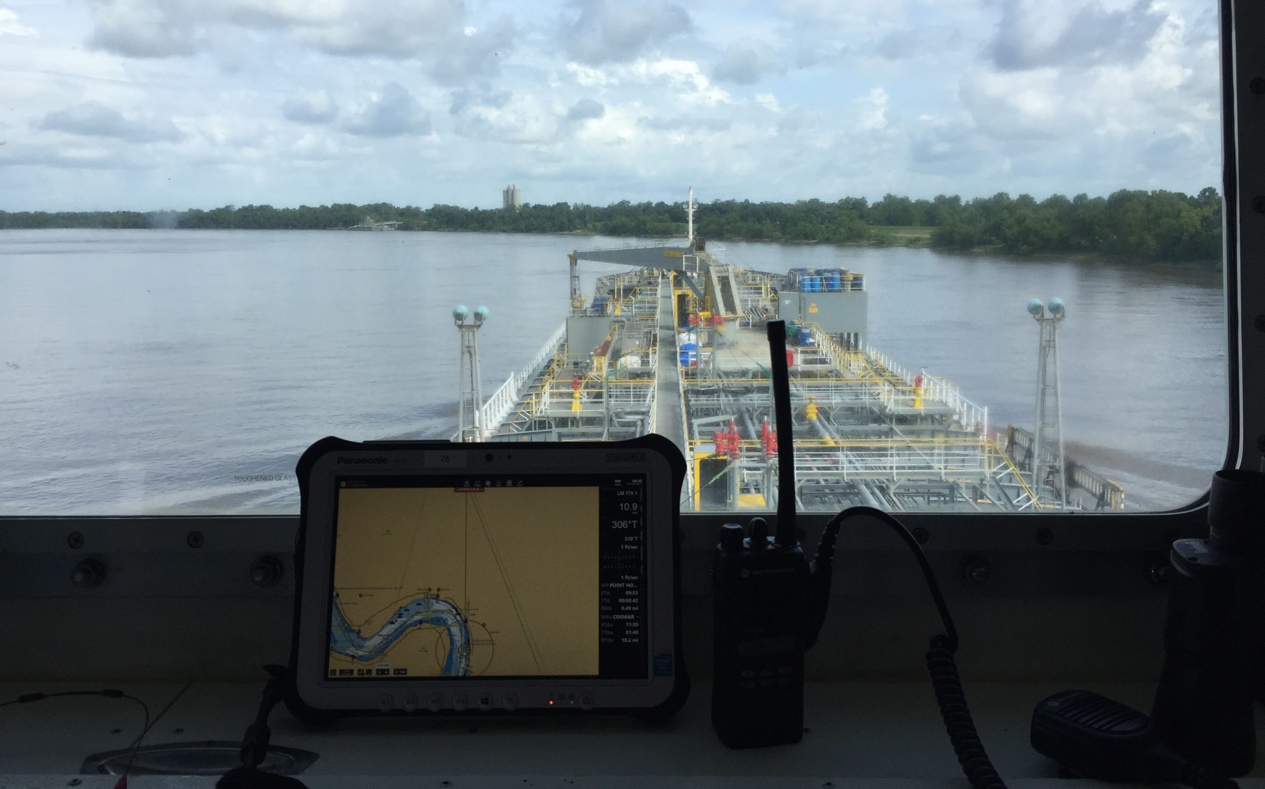
ECDIS display on the bridge of a tanker ship.

NOAA’s Office of Coast Survey maintains a suite of over 1,000 NOAA electronic navigational charts (ENC) and paper nautical charts, and like many other chart producing nations, maintains an ENC focused production process called “ENC-first.” That is, ENCs are the “first” or primary nautical product, and new data is compiled onto ENCs before all other products.

Continue reading “NOAA encourages all mariners to use NOAA ENC® for latest updates and other advantages”

U.S. Coast Pilot® now contains Navigation Rules

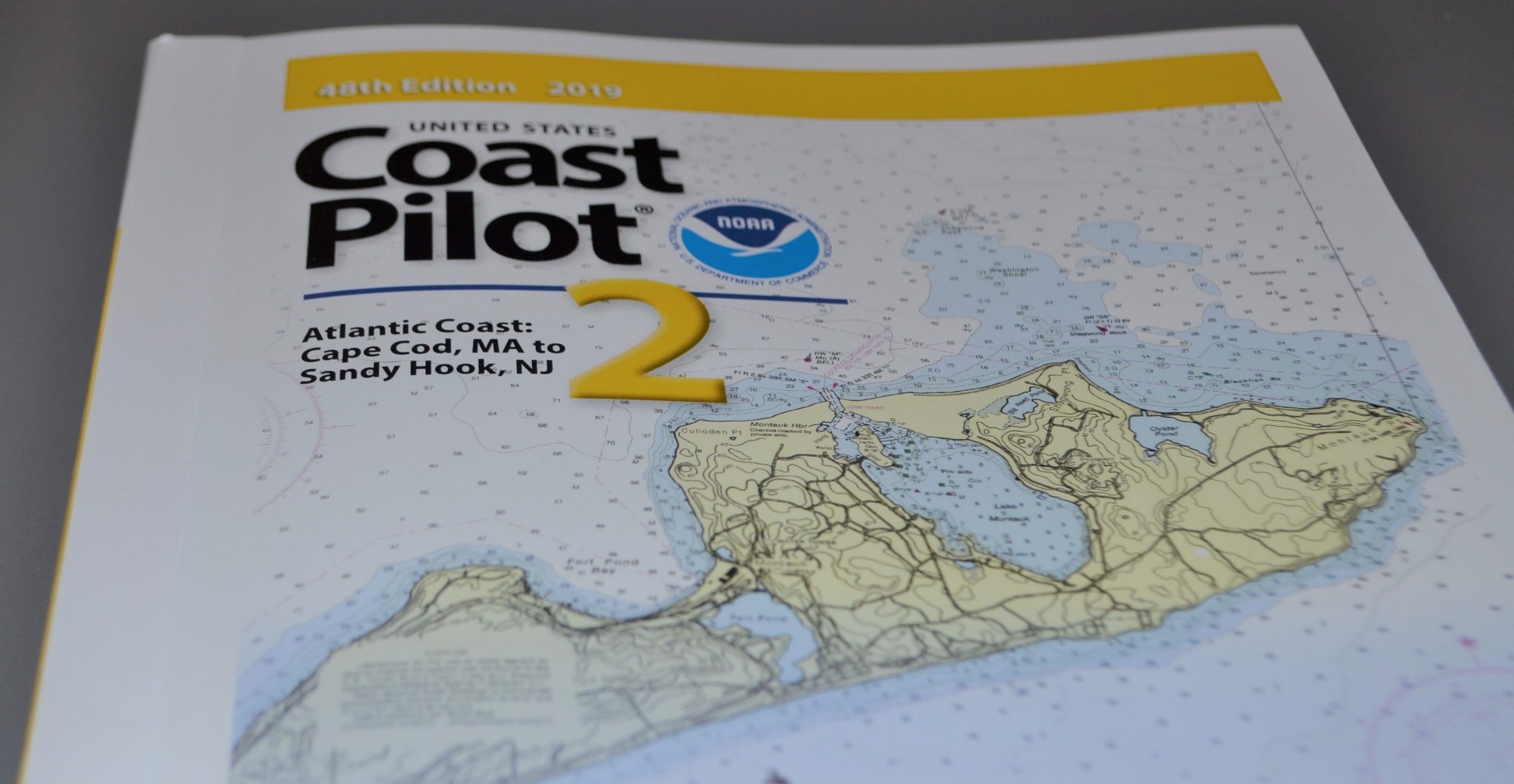
NOAA recently announced that all nine United States Coast Pilot®  volumes now contain the U.S. Coast Guard International Regulations for the Prevention of Collisions at Sea (72 COLREGS) and the Inland Navigation Rules — commonly known as the “Rules of the Road.” The navigation rules are similar to rules on the highway as they present a consistent way to navigate safely and avoid collisions. Having the newly published Coast Pilot now fulfills the legal requirement for mariners to maintain a copy of these regulations on board.

Continue reading “U.S. Coast Pilot® now contains Navigation Rules”

Tankers, Freighters, and….Kayaks?

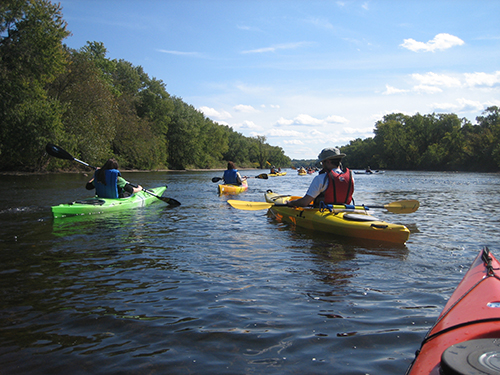
From tankers to kayaks, NOAA nautical chart products offer something for all types of users.

By Nick Perugini

It is not an exaggeration to say that ALL types of vessels use NOAA charts.  We know that large commercial ships, such as tankers and freighters, rely on NOAA charts in U.S. waters, and for that matter, so do recreational boaters. But kayakers? Some of the most enthusiastic and appreciative comments we receive are sent to us by kayakers. The following are a few examples. Continue reading “Tankers, Freighters, and….Kayaks?”

NOAA hosts third annual workshop on nautical chart adequacy

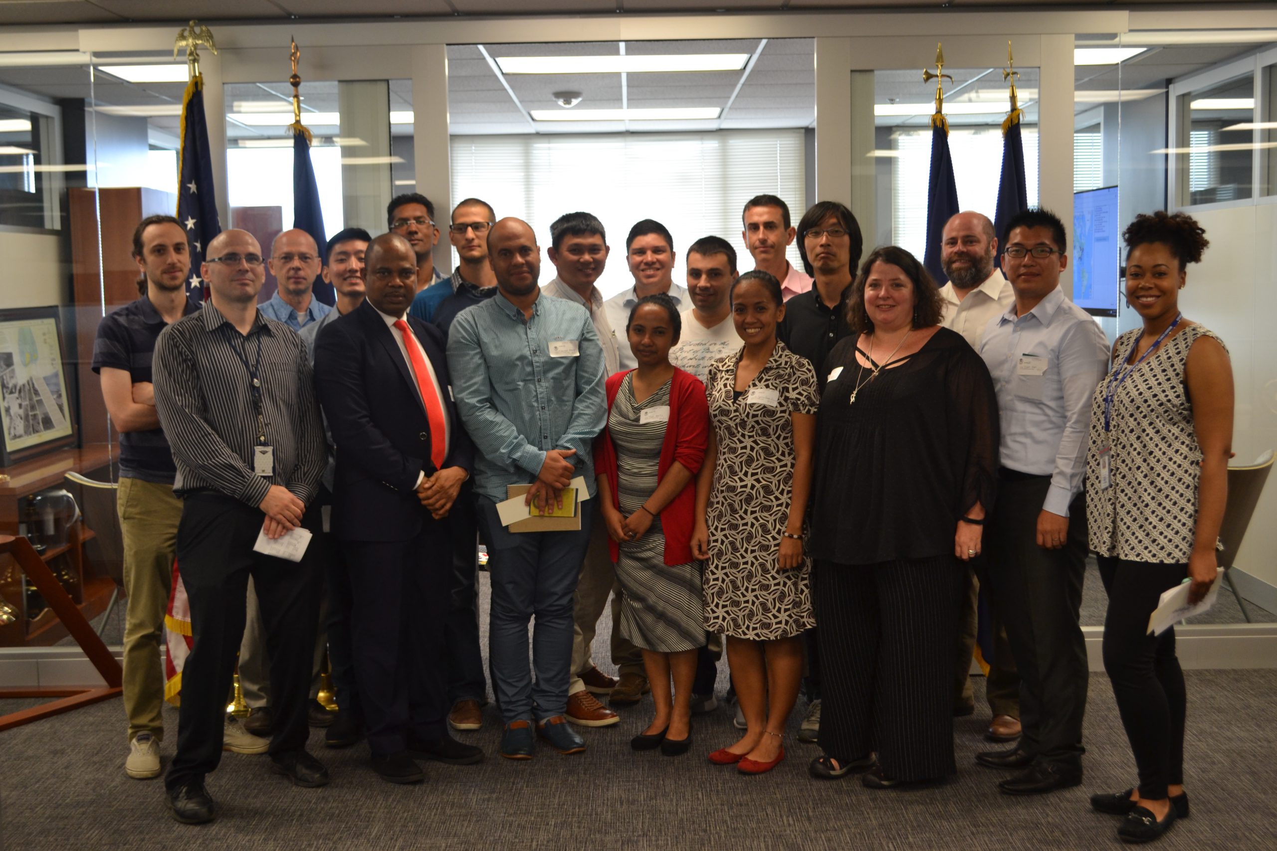
Nautical Chart Adequacy Workshop 2017 participants and instructors.

This week, NOAA’s Office of Coast Survey hosted its third annual workshop on nautical chart adequacy. Twelve students participated in the training and learned techniques to evaluate the suitability of nautical chart products using chart quality and publicly available information. This year’s workshop emphasized cartography and the ability to transfer NOAA procedures to the students’ charting products. The workshop provided a theoretical background on:

  • Chart production at NOAA
  • Review of NOAA charted symbols and abbreviations
  • Review of automatic identification systems (AIS) and satellite-derived bathymetry (SDB)
  • Overview of the chart adequacy procedure

Continue reading “NOAA hosts third annual workshop on nautical chart adequacy”

NOAA clarifies National Charting Plan vision for production of NOAA paper charts and RNCs

Whether navigating an oil tanker, cruise ship, fishing vessel, sailboat, or any craft, the mariner requires a suite of navigation charts that are consistent and easy to use. The public feedback we received to the National Charting Plan regarding the “sunset of paper” charts (p. 26) highlights two navigation products in particular, NOAA paper nautical charts and raster navigational chart (RNC).
Continue reading “NOAA clarifies National Charting Plan vision for production of NOAA paper charts and RNCs”

NOAA announces open house on nautical cartography

NOAA’s Office of Coast Survey is pleased to announce its first one-day open house in conjunction with the International Cartographic Conference (held this year in Washington, DC, at Marriott Wardman Park). This one-day event will focus on nautical cartography, highlighting the field of charting and GIS. It will offer nautical cartography-themed posters, presentations, tours, and exhibits. Participants will include industry partners, government agencies, and charting offices from around the world. This event is open to the public. Continue reading “NOAA announces open house on nautical cartography”