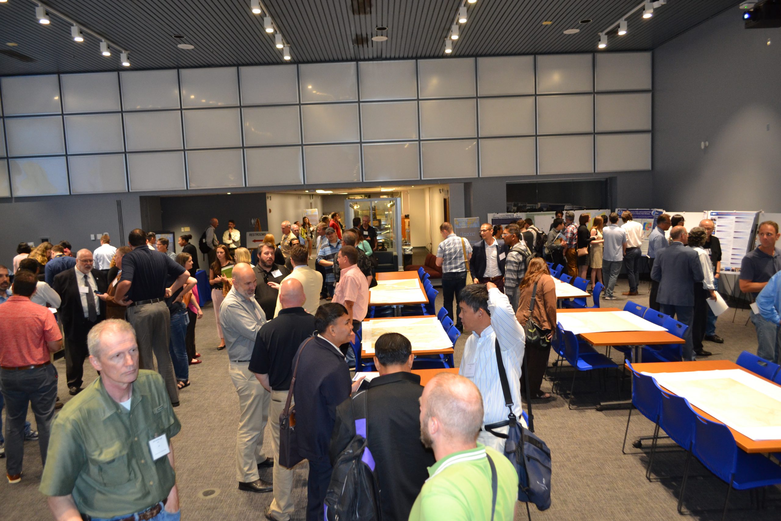
Students of NOAA’s certification program in nautical cartography completed their final projects and presented them along with other Master of Professional Studies in GIS students during a poster symposium at the University of Maryland’s Department of Geographical Sciences. At the event, NOAA students explained their capstone projects and described how their research benefits nautical charting at NOAA. Project topics included:
- Improving Shoreline Application to NOAA Electronic Navigational Charts, Megan Bartlet
- An Automated Approach to Generate Nautical Vector Features from Raster Bathymetric Attributed Grid Data, Noel Dyer
- Developing a Rasterization Procedure for Vector Chart Data, Christie Ence
- NOAA Chart Discrepancies: A Temporal and Spatial Analysis for Navigation Response Teams, Lt. Cmdr. Matt Forney
- Airborne Lidar Bathymetry’s Impact on NOAA Charts, Andres Garrido
- Validating and Refining the Proposed Rescheming of NOAA Electronic Navigational Charts, Colby Harmon
- High Resolution Bathymetry as an Alternative to Charting Controlling Depths in U.S. Army Corps of Engineers Channels, Craig Winn
- Satellite Derived Bathymetry: An Alternative Analysis to Nautical Chart Updates, Aleah Worthem