Data dissemination web interface supports navigation

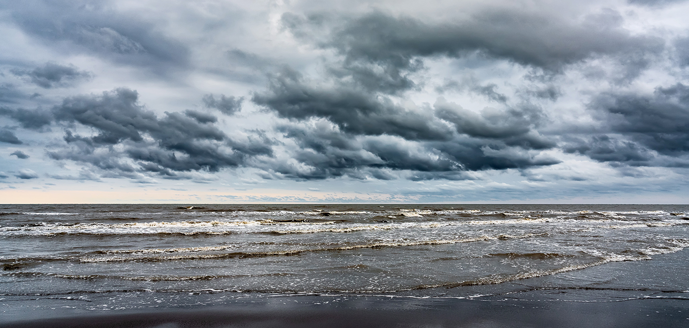
Waves on the sea beach on a cloudy rainy day

Imagine navigating a vessel along the coast and planning the approach to your destination, whether that be a local marina or large vessel berth in a harbor. What factors affecting the movement of the vessel should you be aware of once underway and in transit through the entrance and into the port? These may include observations on the present and forecasted weather, water current speed and direction, water depths and tidal direction, and any anomalies or warnings that may exist. Knowing what these factors are will assist you in preparing your vessel for safe passage to the destination.

Continue reading “Data dissemination web interface supports navigation”

Everyday actions keep mariners safe aboard NOAA hydrographic survey vessels

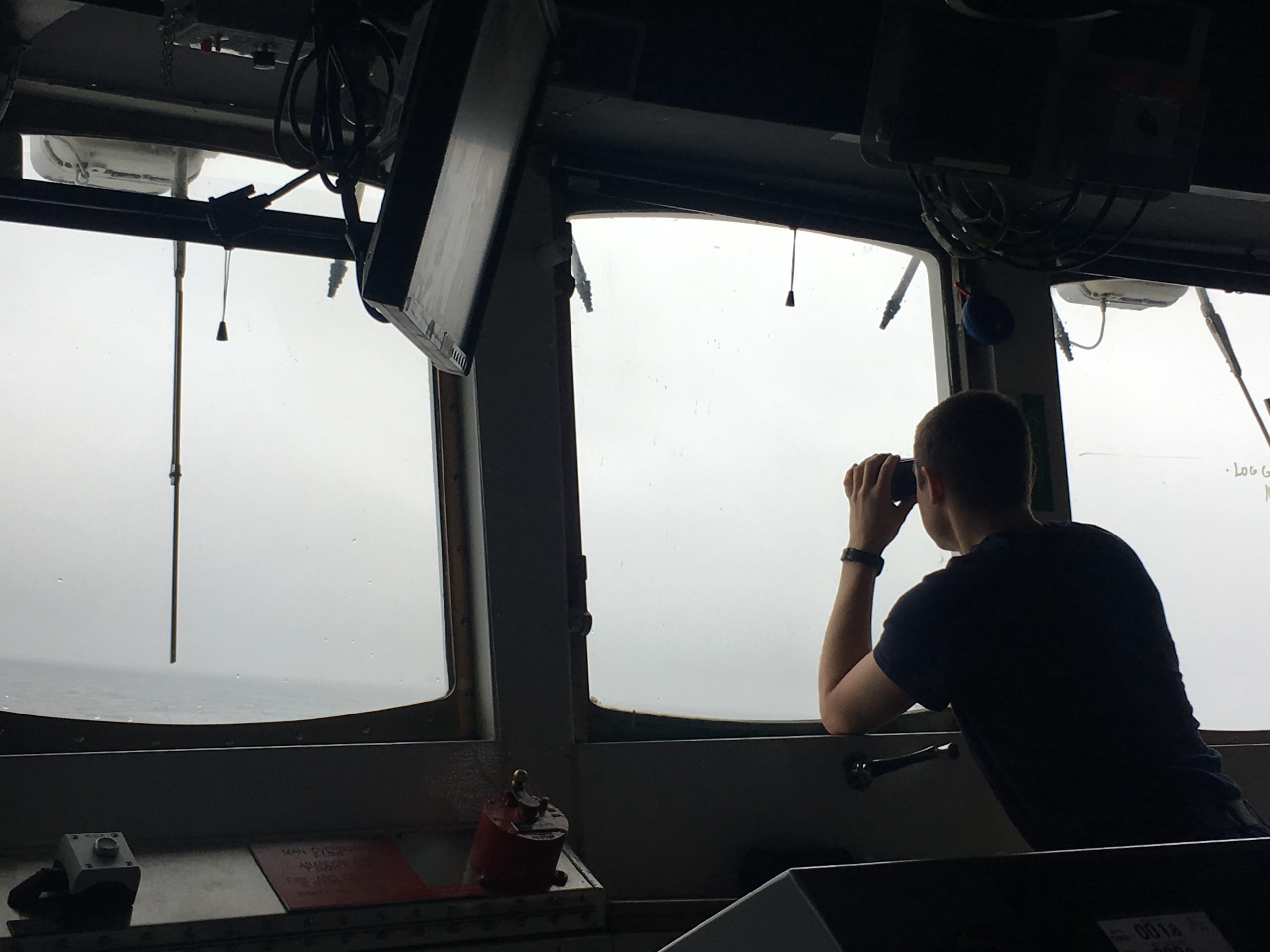
A NOAA Corp officer watches for hazards to navigation on board NOAA Ship Fairweather.

Collecting bathymetric data for our nation’s nautical charts requires skilled work on the water. Whether survey data is actively being collected or the ship is transiting to its next destination, NOAA crews perform a number of ancillary tasks as they operate NOAA hydrographic ships 24 hours a day, 7 days a week. Atmospheric and ecological observations provide context for the crew so they can avoid dangerous situations, while also supporting NOAA environmental databases and records. Drills and training are necessary to keep people and property safe. The following are some of the actions the mariners take while they are aboard the vessel.
Continue reading “Everyday actions keep mariners safe aboard NOAA hydrographic survey vessels”

Post-SANDY navigation response in full swing

NOAA’s navigation response teams and other survey assets are in the water (or soon will be) as they respond to SANDY’s destruction, checking for underwater debris and shoaling that may pose a risk to navigation. Tasked by the U.S. Coast Guard Captains of the Port, NOAA vessels can use multibeam echo sounders or side scan sonar, as conditions warrant, to search for the answers that speed resumption of shipping and other vessel movements.

Continue reading “Post-SANDY navigation response in full swing”

NOAA Ship Thomas Jefferson finds two divers in Block Island Sound

NOAA hydrographic survey vessels are valuable assets for search and rescue operations, as experienced crews use their knowledge of tides and ocean currents to develop science-based search patterns. Last month, two divers found out just how valuable NOAA’s expertise can be. — DF
Report submitted by Ensign Brittany Anderson, NOAA Ship Thomas Jefferson
On the morning of August 26, 2012, NOAA Ship Thomas Jefferson was conducting routine hydrographic survey operations south of Block Island. At 0904 hours, a distress call was made on the very high frequency (VHF) radio to the Coast Guard Station. The caller reported two divers lost in the water at Southwest Ledge, a popular recreational point off Block Island. The coordinates were a mere seconds north of the Thomas Jefferson.
Continue reading “NOAA Ship Thomas Jefferson finds two divers in Block Island Sound”