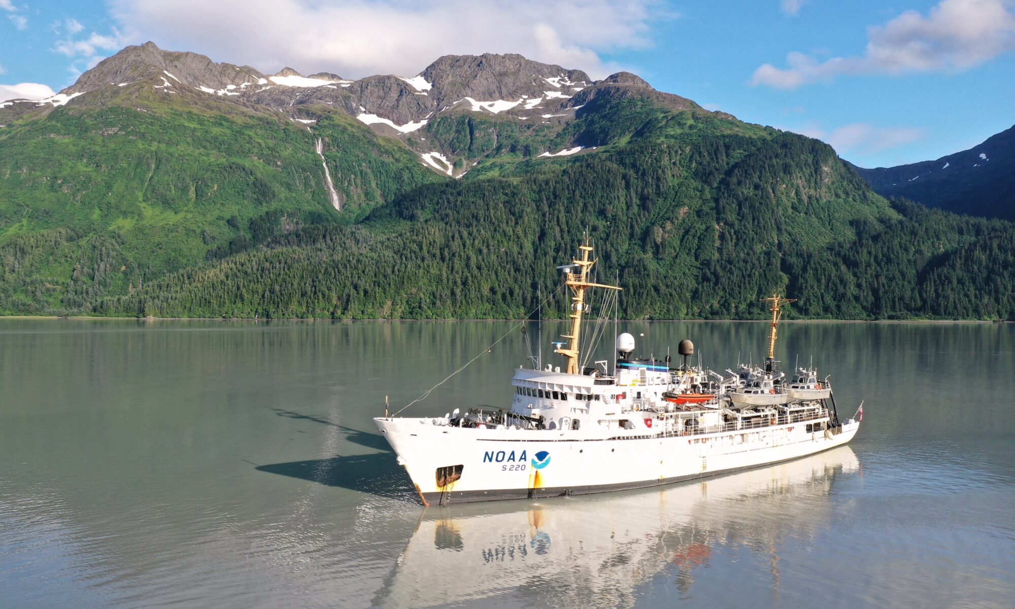
Congratulations to Seascape Alaska! The Intergovernmental Oceanographic Commission of the United Nations Educational, Scientific and Cultural Organization recently endorsed this important regional mapping campaign as part of the UN Decade of Ocean Science for Sustainable Development 2021-2030 (Ocean Decade), in part for its contributions to The Nippon Foundation-GEBCO Seabed 2030 Project.
Continue reading “United Nations Ocean Decade endorses Seascape Alaska”3D Nation Study Hub Site now available!
The 3D Nation Elevation Requirements and Benefits Study focuses on 3D elevation data on land and underwater.
A new ArcGIS Hub Site sharing the results of the 3D Nation Elevation Requirements and Benefits Study, which was published in September 2022, is now available. The site currently features a tool which allows users to filter business use ranks by each state. The site will be updated with more immersive dashboards as they become available. This study was sponsored by the National Oceanic and Atmospheric Administration (NOAA) and the U.S. Geological Survey (USGS), and conducted by Dewberry. The study documents nationwide requirements and benefits of 3D elevation data both on land and underwater. The study also estimates the costs associated with meeting these requirements and evaluates multiple scenarios for enhancing national elevation mapping programs.
Continue reading “3D Nation Study Hub Site now available!”Planned data collection for Southern Alaska highlights agency partnership
Integrated Ocean and Coastal Mapping (IOCM) is the practice of planning, acquiring, integrating, and sharing ocean and coastal data and related products so that people who need the data can find it and use it easily. NOAA’s IOCM program also aims to make the most of limited resources, with a goal to map once, use many times. The IOCM program is happy to share that the U.S. Geological Survey (USGS) and NOAA have entered into a cost-sharing agreement to conduct mapping activities off Kodiak Island, Alaska in support of Seascape Alaska, a regional mapping campaign. This multiyear study is funded primarily by the USGS on the survey vessel, NOAA Ship Fairweather. NOAA’s Coast Survey is also providing project management, environmental compliance evaluation, data acquisition and processing, and quality assurance. The data will be archived at NOAA’s National Centers for Environmental Information, so that other users can access as well.
Continue reading “Planned data collection for Southern Alaska highlights agency partnership”


