
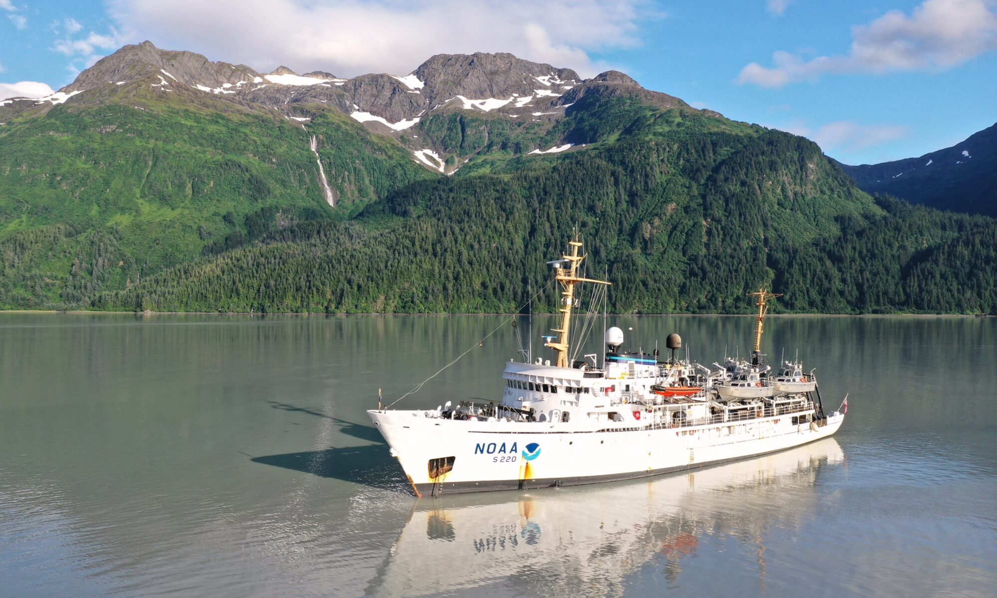
Integrated Ocean and Coastal Mapping (IOCM) is the practice of planning, acquiring, integrating, and sharing ocean and coastal data and related products so that people who need the data can find it and use it easily. NOAA’s IOCM program also aims to make the most of limited resources, with a goal to map once, use many times. The IOCM program is happy to share that the U.S. Geological Survey (USGS) and NOAA have entered into a cost-sharing agreement to conduct mapping activities off Kodiak Island, Alaska in support of Seascape Alaska, a regional mapping campaign. This multiyear study is funded primarily by the USGS on the survey vessel, NOAA Ship Fairweather. NOAA’s Coast Survey is also providing project management, environmental compliance evaluation, data acquisition and processing, and quality assurance. The data will be archived at NOAA’s National Centers for Environmental Information, so that other users can access as well.
This study is part of a great effort underway to advance U.S. ocean science and technology through ocean mapping, exploration, and characterization. Known as the National Ocean Mapping, Exploration, and Characterization (or NOMEC) Strategy, NOMEC is a multi-decadal plan involving a collaboration among federal, tribal, state, and non-governmental partners. 50 percent of the U.S. Exclusive Economic Zone is unmapped and a far greater percentage is unexplored and uncharacterized. This mapping effort is intensive and requires creative use of limited resources.
For approximately 20 days in summer 2023, the Seascape Alaska (USGS Kodiak) project will collect multibeam bathymetry data at a minimum 30-meter resolution across a large portion of the Southern Alaskan continental margin, offshore of the Alaska/Kenai Peninsulas, between 200- to 1500-meter water depth. The project will also collect coincident backscatter and water column data, whenever possible.
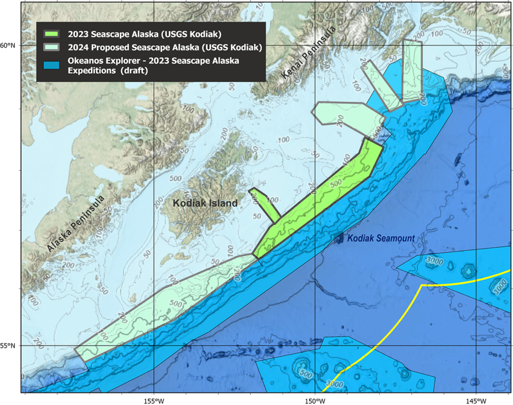
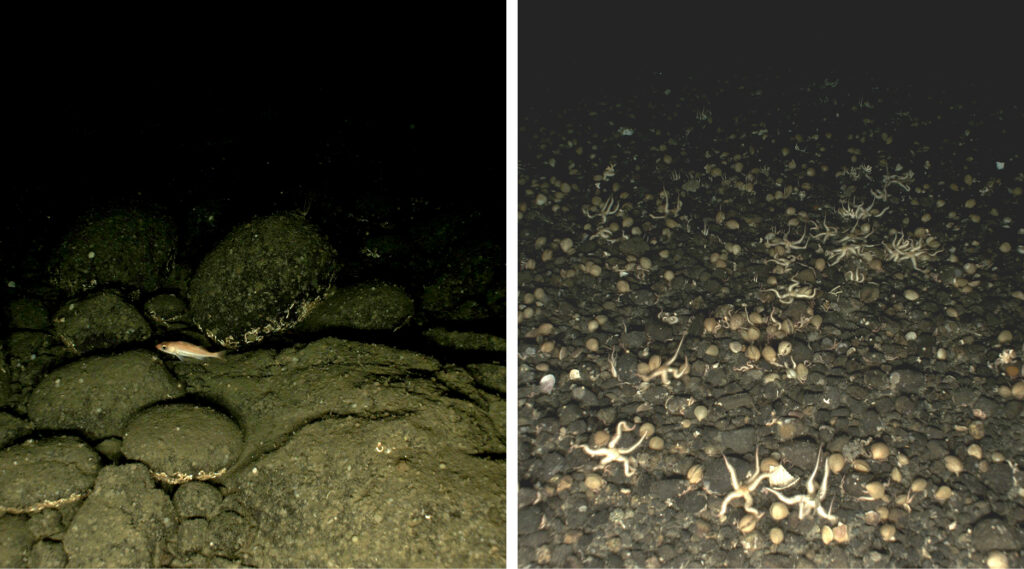
Project results will provide key information to support USGS’ earthquake, tsunami, and landslide hazard assessments and situational awareness products to improve hazard assessment and forecasting. High resolution imaging is necessary to characterize the shape and composition of the seafloor, identify sediment pathways of submarine landslides, and better delineate the underlying geologic structure.
The data will also be used by NOAA Fisheries to support the delineation of trawlable and untrawlable seabeds using processed backscatter and bathymetric data. Because trawlable and untrawlable areas support substantially different populations of fish, an accurate estimate of these areas along with estimates of fish abundance are crucial for sustainable management of many Gulf of Alaska fish stocks.
2 Replies to “Planned data collection for Southern Alaska highlights agency partnership”