by Ensign Sarah Chappel, NOAA Ship Rainier
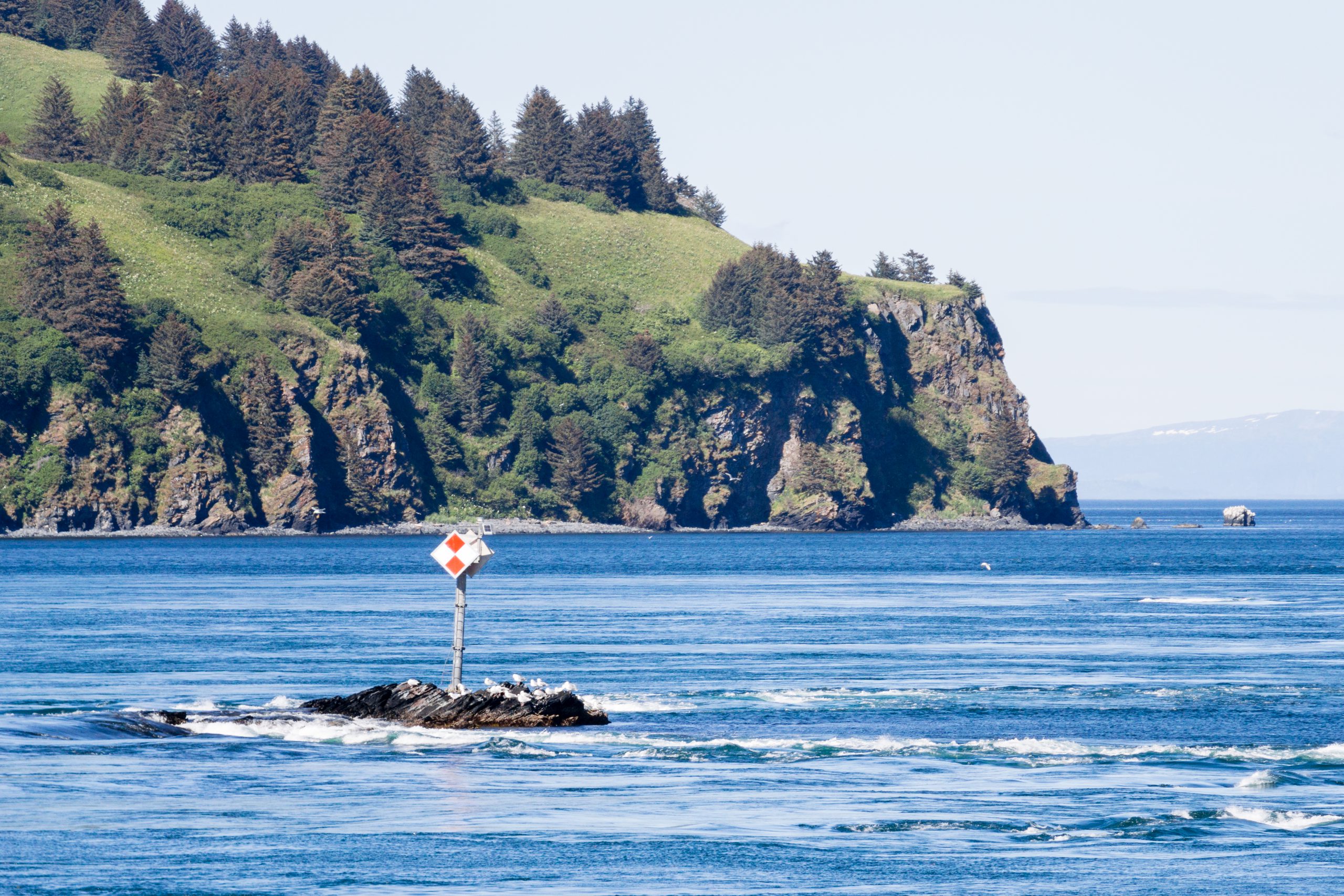
NOAA Ship Rainier recently surveyed Whale Passage, which separates Whale Island from Kodiak Island, Alaska. The area has never been surveyed with modern full bottom coverage methods, and some project areas were last surveyed by lead lines around a hundred years ago. The area frequently experiences 7 knot currents, making rocky or shoal areas particularly treacherous. Whale Passage is a high traffic area for fishing vessels, U.S. Coast Guard cutters, barges, ferries, and small boats, which is why updating the area’s nautical charts is so important.
Continue reading “Correcting chart discrepancies at Alaska’s Whale Passage”
Correcting chart discrepancies at Alaska’s Whale Passage