Surveying the Pribilof Islands, from Pathfinder to Fairweather

Two images of Pathfinder and Fairweather lined up side by side.

By Lt. Taylor Krabiel

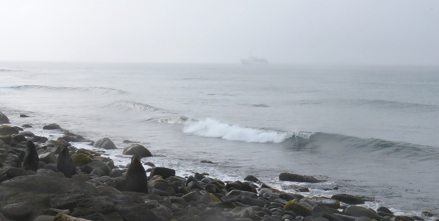
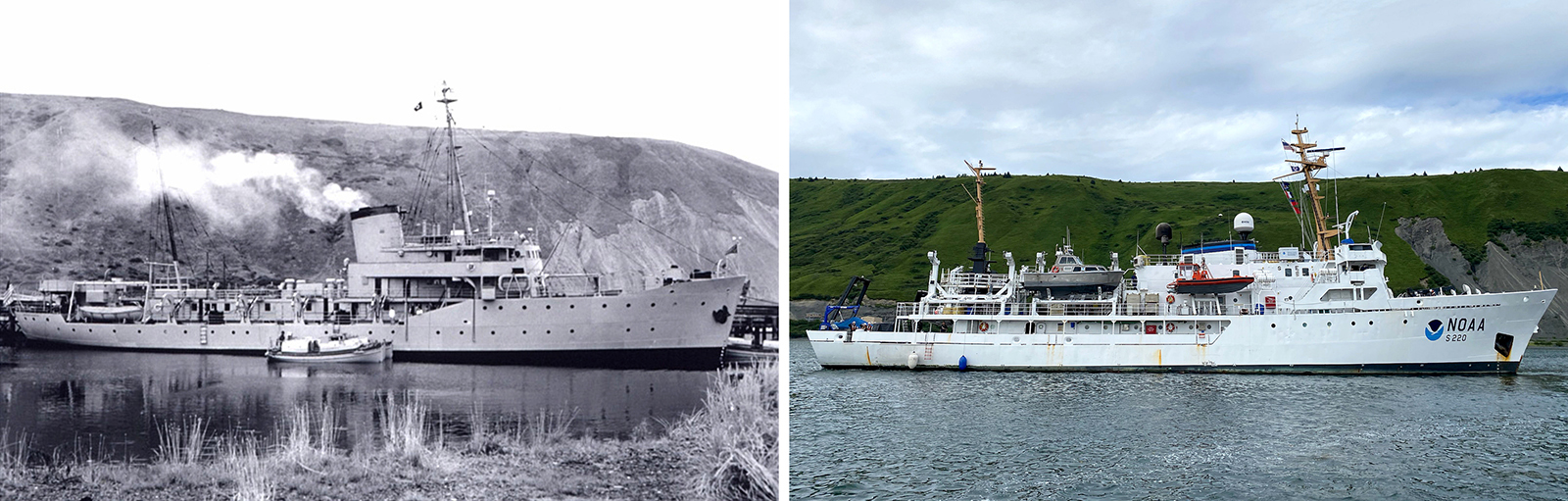
In the 1950s, U.S. Coast and Geodetic Survey (USC&GS) Pathfinder surveyed the Pribilof Islands with the latest technologies to chart previously unsurveyed waters and bring the islands into a common datum with the mainland. Fast forward 71 years and NOAA Ship Fairweather continues this work. Despite the decades and technologies that separate the two ships, they share many commonalities in their mission and their surveying techniques.

Continue reading “Surveying the Pribilof Islands, from Pathfinder to Fairweather”

NOAA Ship Fairweather surveys the remote Pribilof Islands

Northern Fur Seals on the beach of St. George as Fairweather navigates the thick fog in the background.

By Lt. Taylor Krabiel

The Pribilof Islands are remote and isolated, located in the Bering Sea roughly 280 nautical miles north of Dutch Harbor Alaska. The economy and community are reliant on the surrounding ocean, while the islands themselves provide shelter for vessels working in the Bering Sea. Accurate nautical charts are not only integral to safe navigation and delivery of goods and services for the community, but also to commercial fishing and crabbing. The last major survey of the area was conducted from 1951 to 1954 by the U.S. Coast and Geodetic Survey vessel Pathfinder. However, much of the shoreline around St. George remained uncharted. The Fairweather’s surveys of the islands will provide modern bathymetric data for updating NOAA’s charting products in support of navigation safety.

Continue reading “NOAA Ship Fairweather surveys the remote Pribilof Islands”