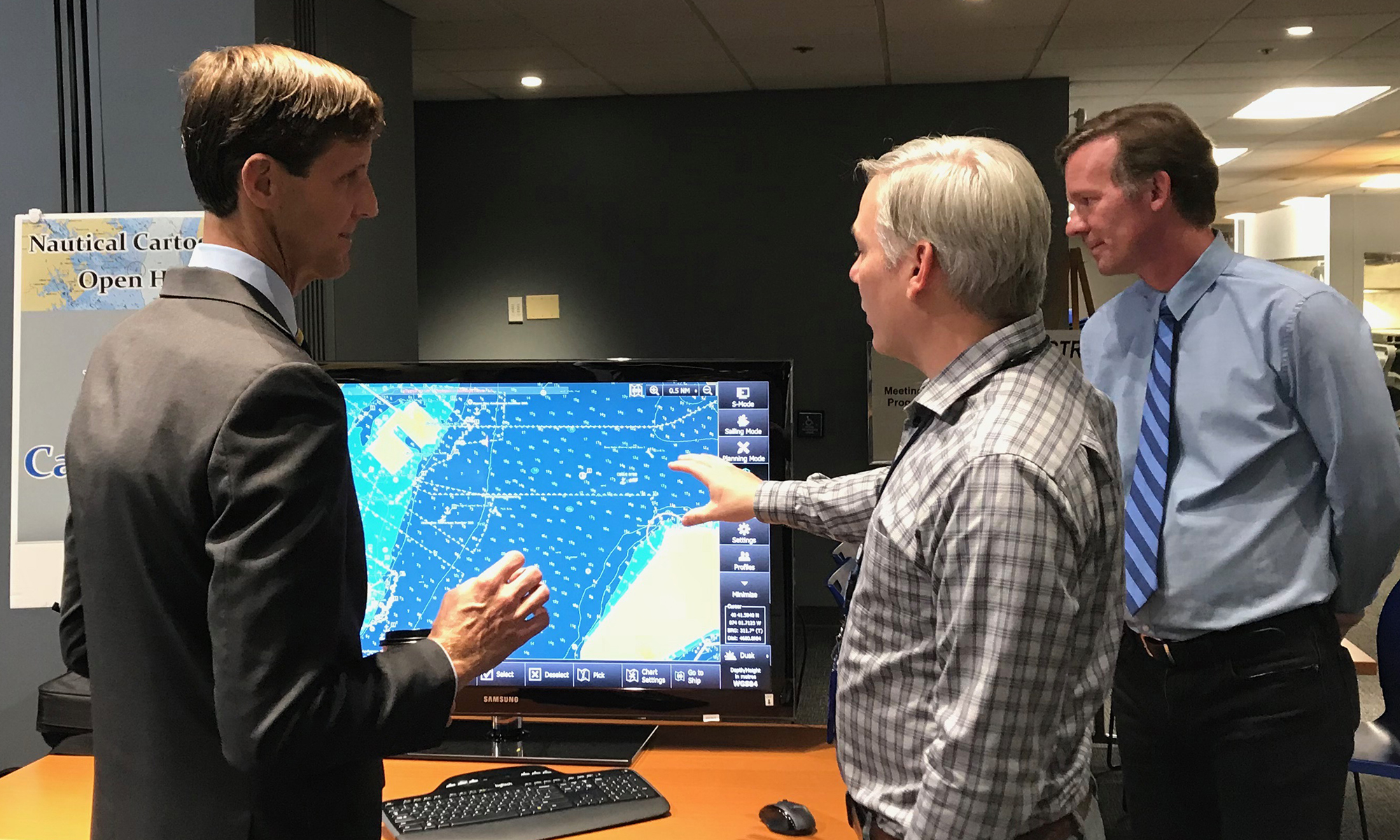
Last week NOAA Coast Survey welcomed approximately 170 attendees representing 17 countries to the 2018 Nautical Cartography Open House. Industry partners, members of the public, and other government agencies attended, including the Bureau of Ocean Energy Management, Naval Hydrographic and Oceanic Service (SHOM) from France, Canadian Hydrographic Service, Dalian Naval Academy, National Taiwan Ocean University, and the Joint Hydrographic Center/Center for Coastal and Ocean Mapping (JHC/CCOM).
Continue reading “NOAA welcomes local and international attendees at 2018 Nautical Cartography Open House”
NOAA hosts 2018 Chart Adequacy Workshop
On July 23, NOAA Coast Survey hosted a three-day Chart Adequacy Workshop that included participants from 13 countries. This is the fourth Chart Adequacy Workshop held at NOAA’s Silver Spring, Maryland campus.

The main goal of the workshop is to provide training for professional cartographers and hydrographers on techniques for assessing nautical chart adequacy using publicly-available information, such as satellite images and maritime automatic identification system (AIS) data. The participants received an overview on Coast Survey datasets, processes, and requirements for nautical charts. They also learned about preprocessing hydrographic data, such as loading charts, uploading imagery, and applying electronic navigation charts (ENCs) and AIS point data. Through a series of lab units, the attendees practiced performing the concepts they learned. Continue reading “NOAA hosts 2018 Chart Adequacy Workshop”
NOAA surveys the unsurveyed, leading the way in the U.S. Arctic
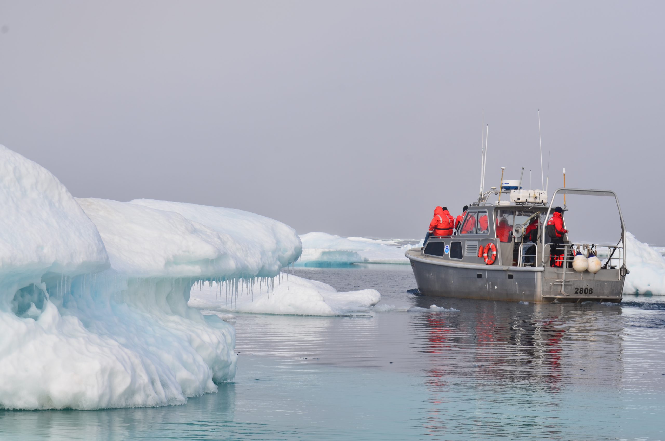
President Thomas Jefferson, who founded Coast Survey in 1807, commissioned Lewis and Clark’s Corps of Discovery Expedition in 1803, the first American expedition to cross the western portion of the contiguous United States. Today there remains a vast western America territory that is largely unknown and unexplored – the U.S. waters off the coast of Alaska. As a leader in ocean mapping, NOAA Coast Survey launches hydrographic expeditions to discover what lies underneath the waves.
Alaska is one-fifth the size of the contiguous United States, and has more than 33,000 miles of shoreline. In fact, the Alaskan coast comprises 57 percent of the United States’ navigationally significant waters and all of the United States’ Arctic territory. Alaskan and Arctic waters are largely uncharted with modern surveys, and many areas that have soundings were surveyed using early lead line technology from the time of Capt. Cook, before the region was part of the United States. Currently only 4.1 percent of the U.S. maritime Arctic has been charted to modern international navigation standards. Continue reading “NOAA surveys the unsurveyed, leading the way in the U.S. Arctic”
Coast Survey spotlight: Meet Erin Weller
Ever wonder what it’s like to be a member of the NOAA Coast Survey team? We use the Coast Survey spotlight blog series as a way to periodically share the experiences of Coast Survey employees as they discuss their work, background, and advice.
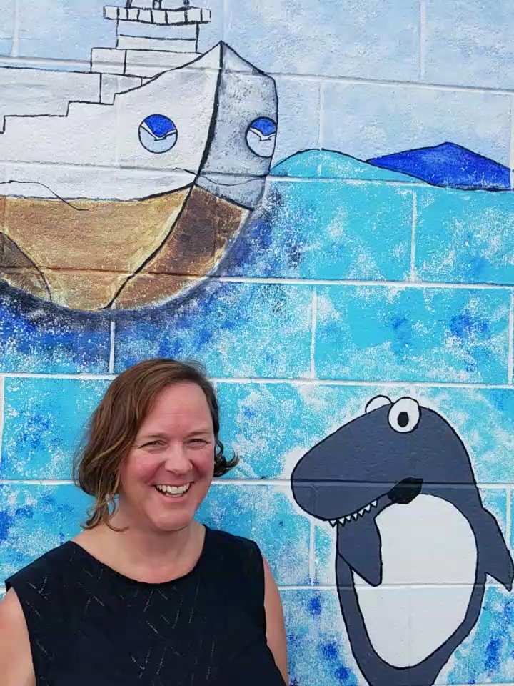
Erin Weller, Data Manager
Our hydrographic data contributes to safe navigation, and I ensure data integrity is maintained during data transfers. The data and products we create are made available to the public on NCEI’s website and can be used for other research including fisheries habitat studies, tsunami modeling, and digital mapping.
Everyday actions keep mariners safe aboard NOAA hydrographic survey vessels
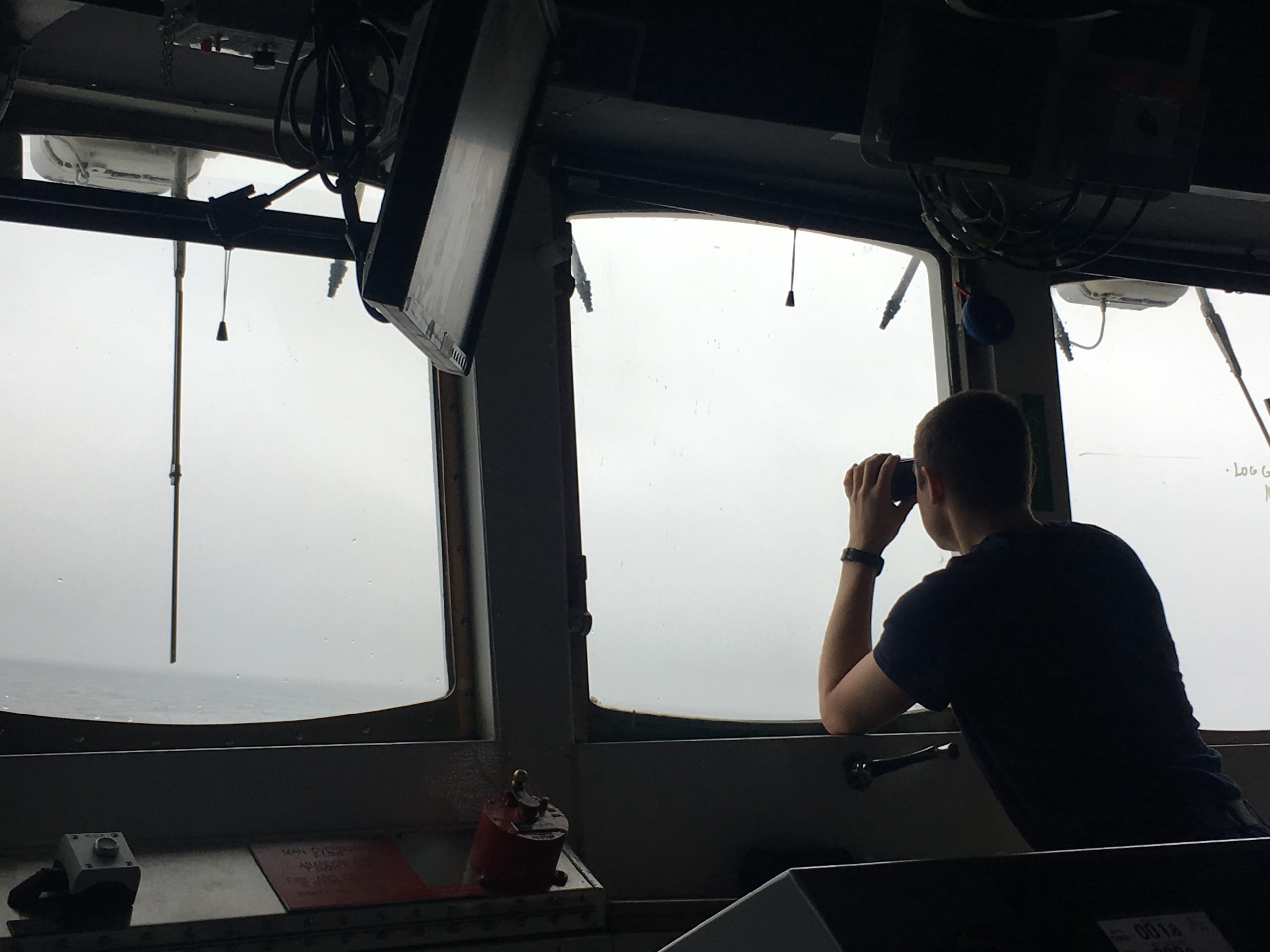
Collecting bathymetric data for our nation’s nautical charts requires skilled work on the water. Whether survey data is actively being collected or the ship is transiting to its next destination, NOAA crews perform a number of ancillary tasks as they operate NOAA hydrographic ships 24 hours a day, 7 days a week. Atmospheric and ecological observations provide context for the crew so they can avoid dangerous situations, while also supporting NOAA environmental databases and records. Drills and training are necessary to keep people and property safe. The following are some of the actions the mariners take while they are aboard the vessel.
Continue reading “Everyday actions keep mariners safe aboard NOAA hydrographic survey vessels”
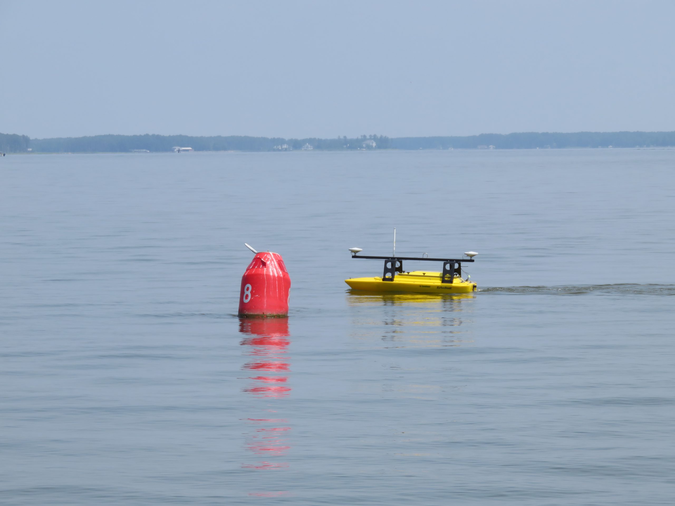
NOAA and Coast Guard survey shallow channels in eastern Chesapeake Bay to update aids to navigation
By Lt j.g. Patrick Debroisse
The area of the Chesapeake Bay along the Eastern Shore of Maryland is one of our nation’s treasures. Home to unique underwater grasses, fish, and shellfish, this complex transition from river to sea is also home to millions of tons of sediment delivered annually from eroding land and streams. Recreational boaters, fisherman, and cruising vessels are keenly aware of the shifting sands and sediment deposits in these shallow waters and rely on aids to navigation (ATON) — a system of beacons and buoys — to travel safely to and from the harbors and docks along the shoreline.
Continue reading “NOAA and Coast Guard survey shallow channels in eastern Chesapeake Bay to update aids to navigation”

