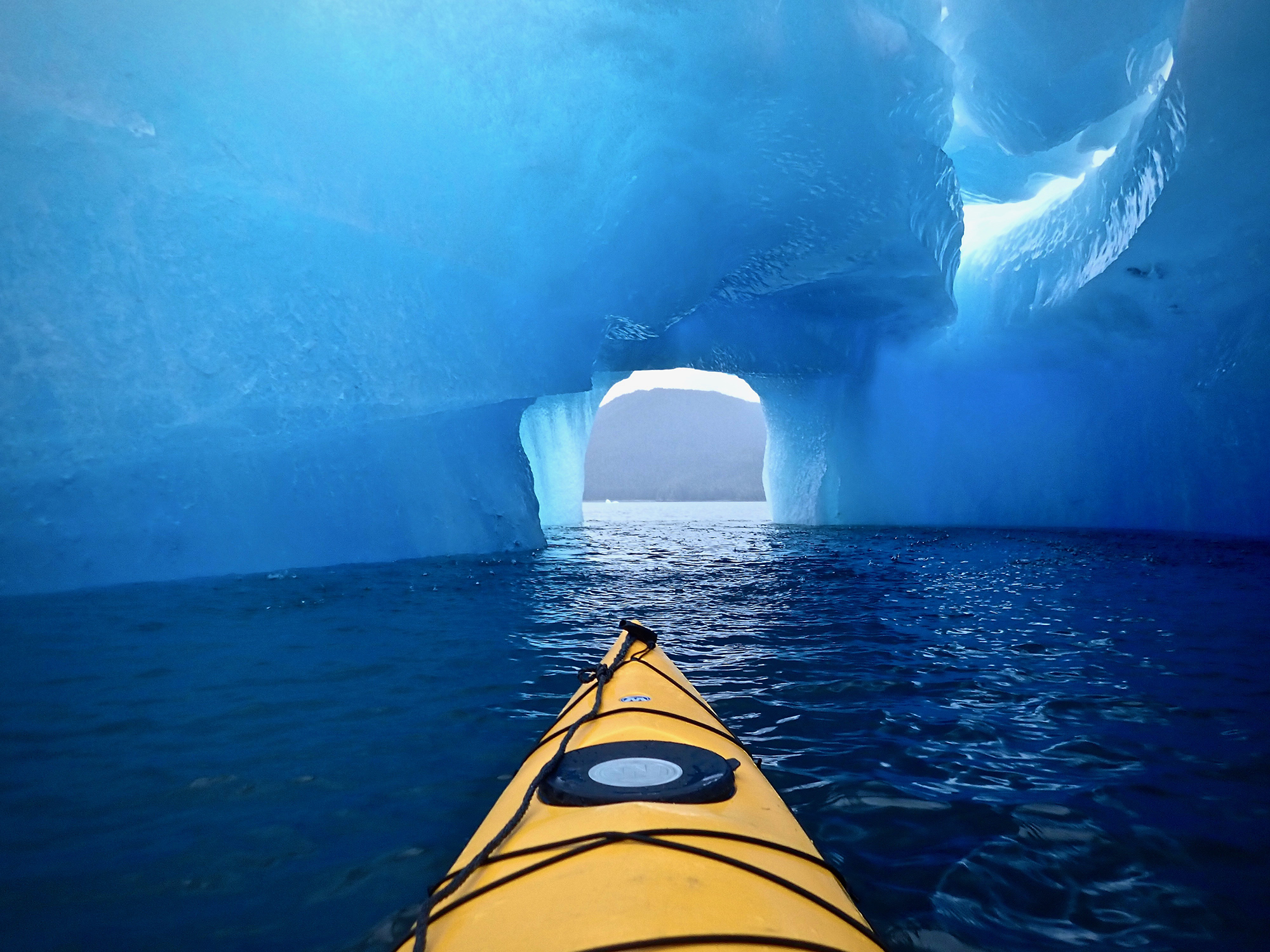
There are many benefits to working on a hydrographic survey project for NOAA’s Office of Coast Survey. Some would say having the opportunity to visit amazing landscapes, work with talented people, and collect important environmental data are just a few of them. Recently, Coast Survey’s Hydrographic Surveys Division hosted an internal photo contest inviting employees and contractors to submit images in the categories of Ships and Boats, Landscapes, People, and Data. On this Earth Day 2020, we thought we would share our contest winners with you.
Continue reading “Capturing scenes from hydrographic surveying”NOAA supports arrival of USNS Comfort to New York City
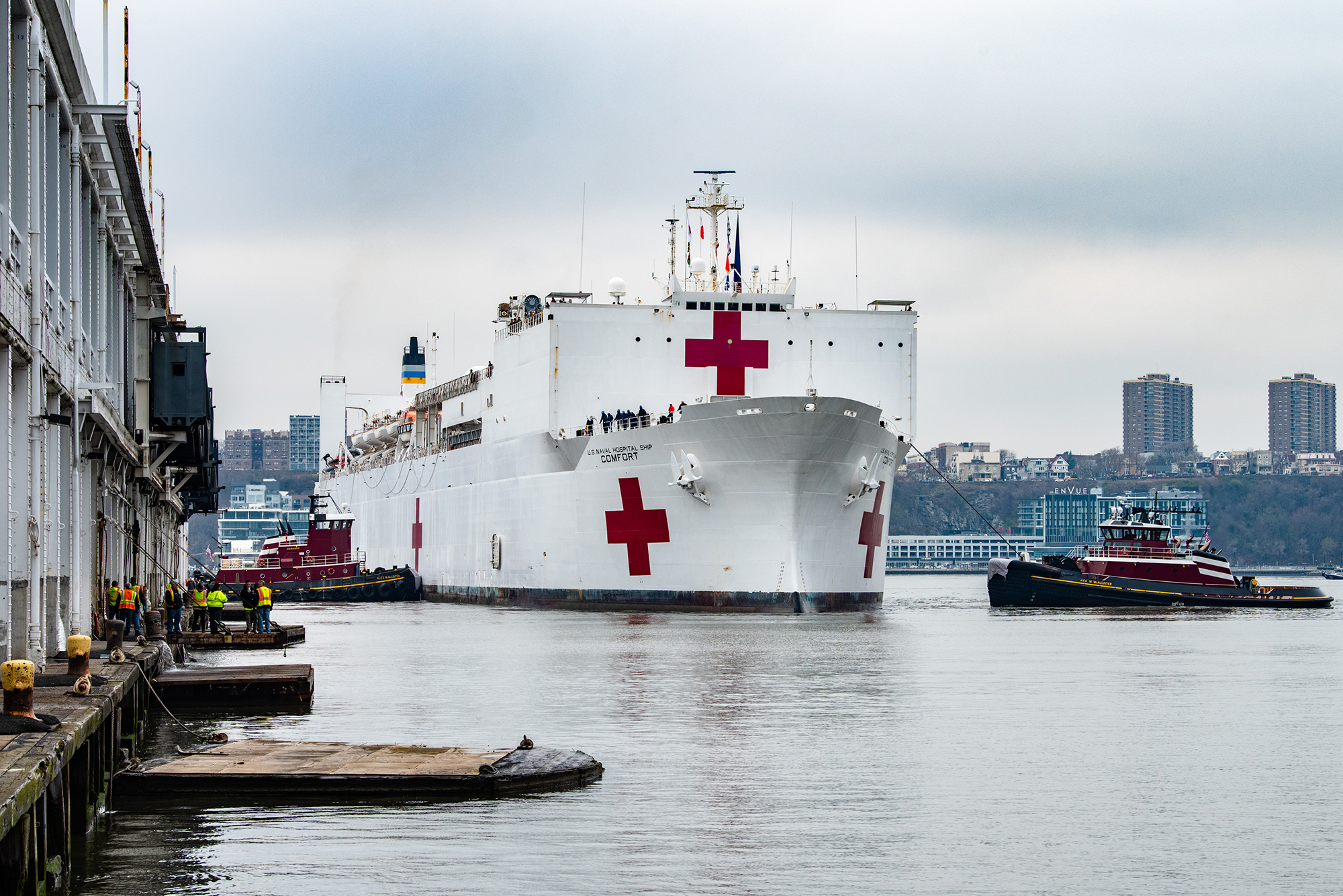
For more than 200 years, nautical cartographers have methodically charted our nation’s coastline, adding new features or hazards and updating meandering shorelines, all in an effort to aid safe navigation. However, occasions do arise that require immediate charting, particularly in response to national emergencies. Notable examples include charting the projected oil spill zone during the Deepwater Horizon oil spill disaster, as well as hazards during hurricane response efforts. Most recently, NOAA’s Office of Coast Survey was called upon to support the arrival of USNS Comfort to New York City.
Continue reading “NOAA supports arrival of USNS Comfort to New York City”NOAA certifies San Francisco Bay shipping channel with top survey rating, increasing confidence for deep draft vessel navigation
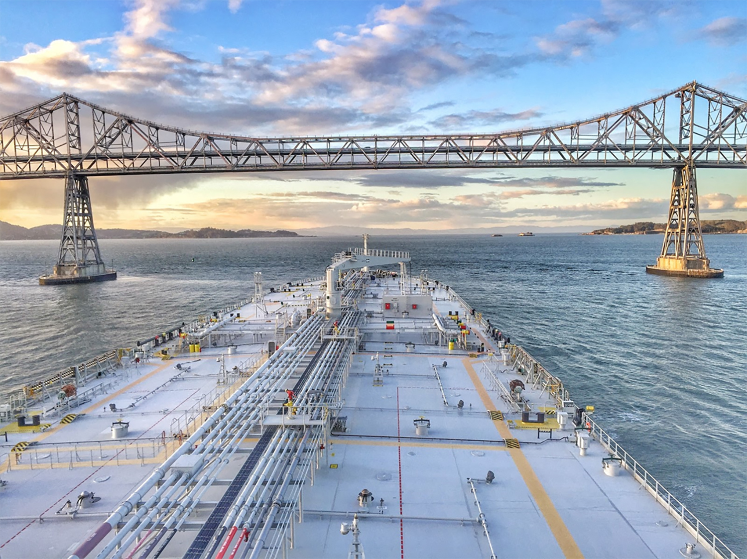
There is a risk factor when navigating in and out of our nation’s busiest ports, particularly at the helm of some of the world’s largest deep draft vessels. Mariners rely on tide and water level information, wind and weather data, but perhaps most importantly, they rely on electronic navigational charts and the quality of depth measurements that comprise them. Recently, NOAA’s Office of Coast Survey certified the U.S. Army Corps of Engineers (USACE) hydrographic surveys for the Pinole Shoal Channel in San Francisco Bay — a critical waterway for bulk carriers and tankers to reach the ports of Sacramento, Stockton, Martinez, and Benicia — the highest possible data quality rating, Category Zone of Confidence (CATZOC) A1, for two years. This is the first USACE federally-maintained channel to receive the highest-level certification. NOAA anticipates the increased CATZOC rating will dramatically increase shipping efficiency.
Continue reading “NOAA certifies San Francisco Bay shipping channel with top survey rating, increasing confidence for deep draft vessel navigation”NOAA modernizes ENC Direct to GIS viewer to download GIS data
By Scott Sherman
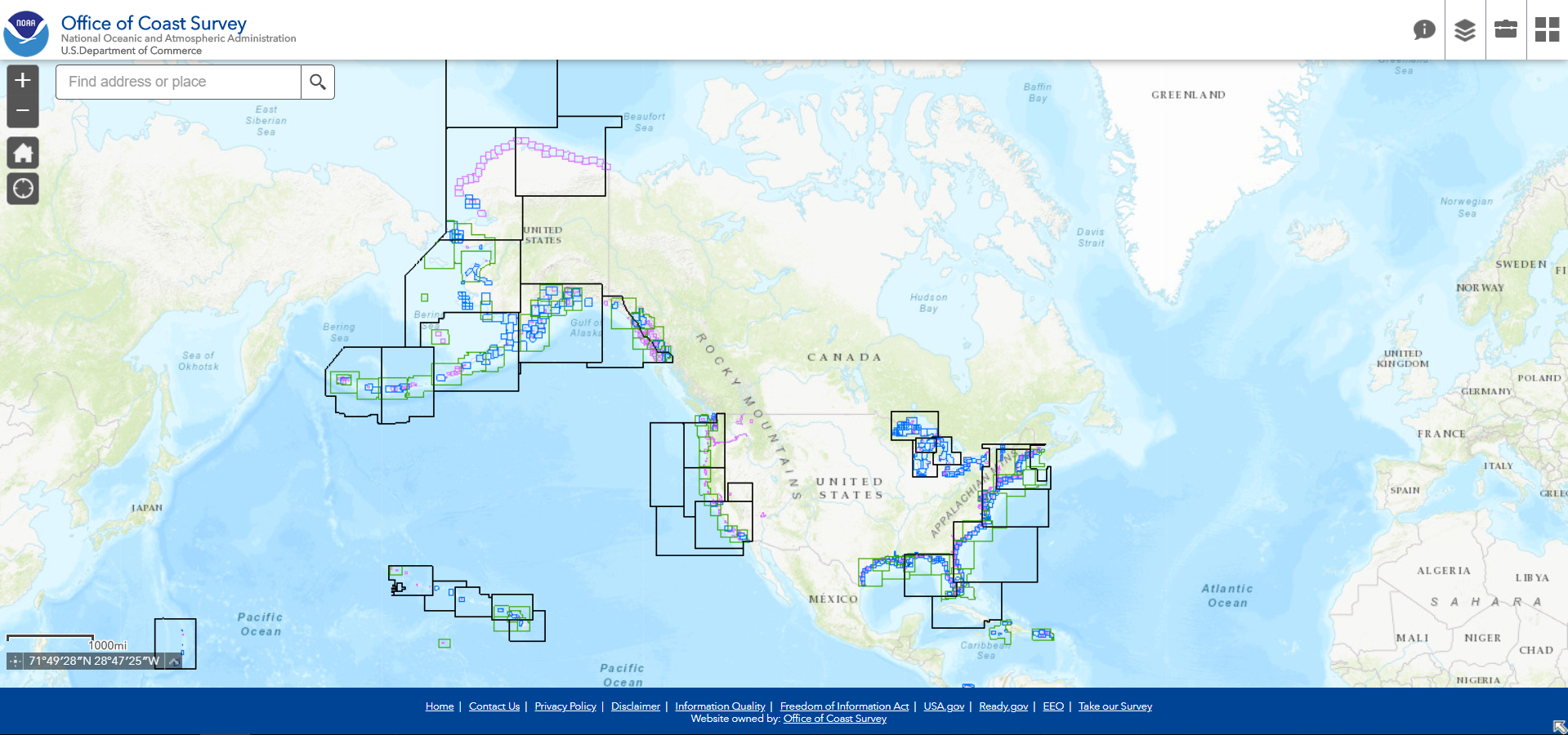
NOAA updated its NOAA ENC Direct to GIS website with a more modern viewer and the latest Esri GIS tools, removing the requirement for older software. The viewer retains the familiar, easy-to-use interface and tools, now with a modern user interface.
Continue reading “NOAA modernizes ENC Direct to GIS viewer to download GIS data”


