The Kodiak archipelago – whales, foxes, and bears, oh my!

An image showing the mountainous shoreline of Kodiak Island
By Simon Swart and Adriana Varchetta

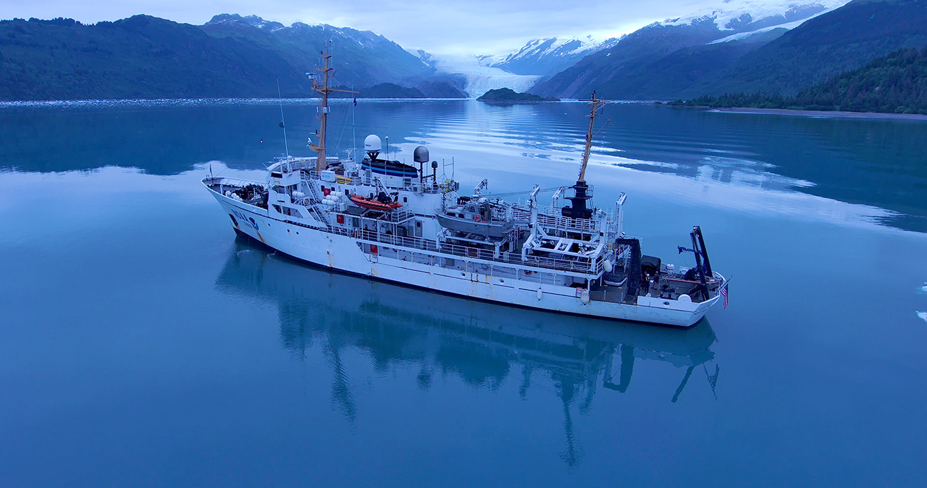
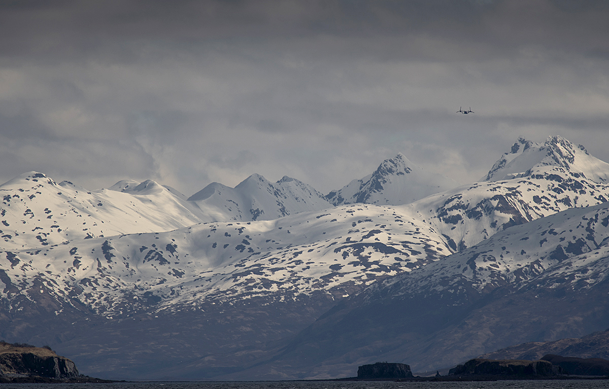
Between April and August of 2021, NOAA Ship Fairweather visited the southern part of the Kodiak archipelago to survey and provide updated bathymetry for a remote, yet important area that sorely needed new chart data. Early in the year, abundant wildlife and the sparse population meant the ship’s crew only had to contend with spritely weather patterns. But as spring turned to summer and the weather improved, the village of Akhiok became a hive of activity. Many types of fishing vessels began plying the waters around Alitak Bay, dropping crab pots and casting nets as they went. The increase in sunlight also transformed the landscape from brown, barren hills into a lush green canvas. Quick waves hello and calls from locals to not run over their crab pots, kept the importance of the mission at the forefront of the crews mind, with an occasional aircraft sighting jolting them back to the 21st century. 

Continue reading “The Kodiak archipelago – whales, foxes, and bears, oh my!”

Alaska to Greenland via the Northwest Passage

Coast Guard Cutter Healy conducts Arctic patrol in support of the Office of Naval Research
By Lt. Patrick Debroisse

In August and September 2021, the U.S. Coast Guard Cutter Healy transited through the Northwest Passage, from Alaska to Greenland. This voyage provided members of the University of New Hampshire’s Center for Coastal and Ocean Mapping/Joint Hydrographic Center (CCOM/JHC) the opportunity to collect data, helping to fill gaps in current hydrographic coverage in the passage and in the U.S. Exclusive Economic Zone (EEZ). Data in the Arctic where sea ice impedes ships is sparse. This is concerning as the Arctic nations, especially the United States, Canada, and Greenland evaluate both extended continental shelf claims and the potential for shipping routes through the Northwest Passage.

Continue reading “Alaska to Greenland via the Northwest Passage”

New NOAA website provides marine navigation resources in a central location

Commercial vessels navigating in the Port of Los Angeles-Long Beach

A recently launched website from NOAA’s Precision Marine Navigation (PMN) program will improve the use and accessibility of NOAA’s marine navigation products and services. The website, Marine Navigation, includes links and short descriptions to NOAA’s various navigation resources, providing a one-stop shop that mariners can visit to get the data they need. Designed for shipping professionals and recreational boaters alike, the PMN program hopes the website will become a valuable tool to support all mariners in their navigation planning and decision making processes.

Continue reading “New NOAA website provides marine navigation resources in a central location”

Surveying the waters of Prince William Sound, Alaska

NOAA Ship Fairweather in College Fiord, Alaska

By Matt Canning and Ensign Carly Robbins, NOAA Ship Fairweather

Sheets of ice stretch for miles and miles. Mountains and peaks reach with jagged arms straight for the heavens. Snowmounds inoffensively deafening visitors in the winter months with a quiet like no other. Glacier walls and their child icebergs bobbing in the deep, cold water at every turn. Wildlife of the sky and sea of every shape and size, from Tufted Puffins and Kittlitz’s Murrelets to harbor seals and orcas – this is Prince William Sound.

Continue reading “Surveying the waters of Prince William Sound, Alaska”