Data dissemination web interface supports navigation

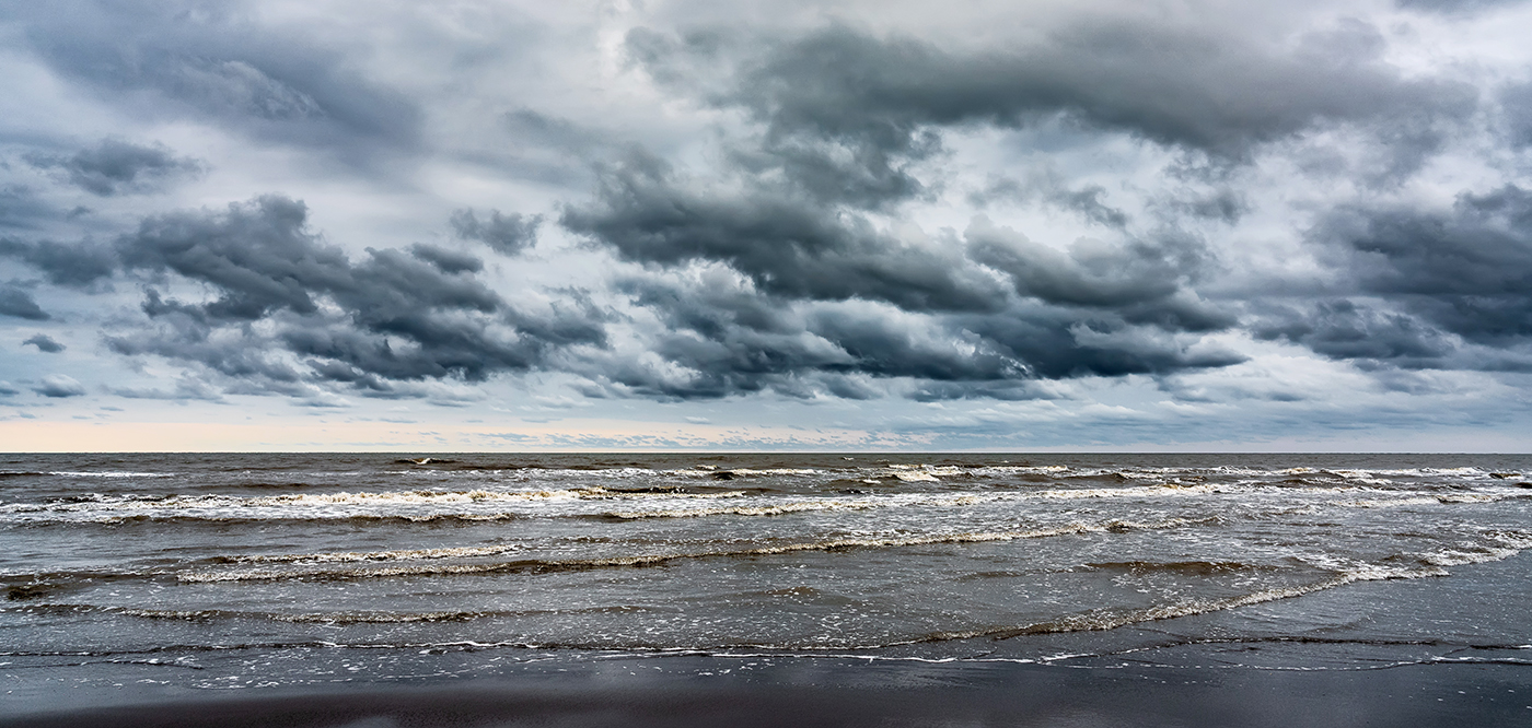
Waves on the sea beach on a cloudy rainy day

Imagine navigating a vessel along the coast and planning the approach to your destination, whether that be a local marina or large vessel berth in a harbor. What factors affecting the movement of the vessel should you be aware of once underway and in transit through the entrance and into the port? These may include observations on the present and forecasted weather, water current speed and direction, water depths and tidal direction, and any anomalies or warnings that may exist. Knowing what these factors are will assist you in preparing your vessel for safe passage to the destination.

Continue reading “Data dissemination web interface supports navigation”

Naming Brennan Reef, a previously uncharted pinnacle in Channel Islands National Marine Sanctuary

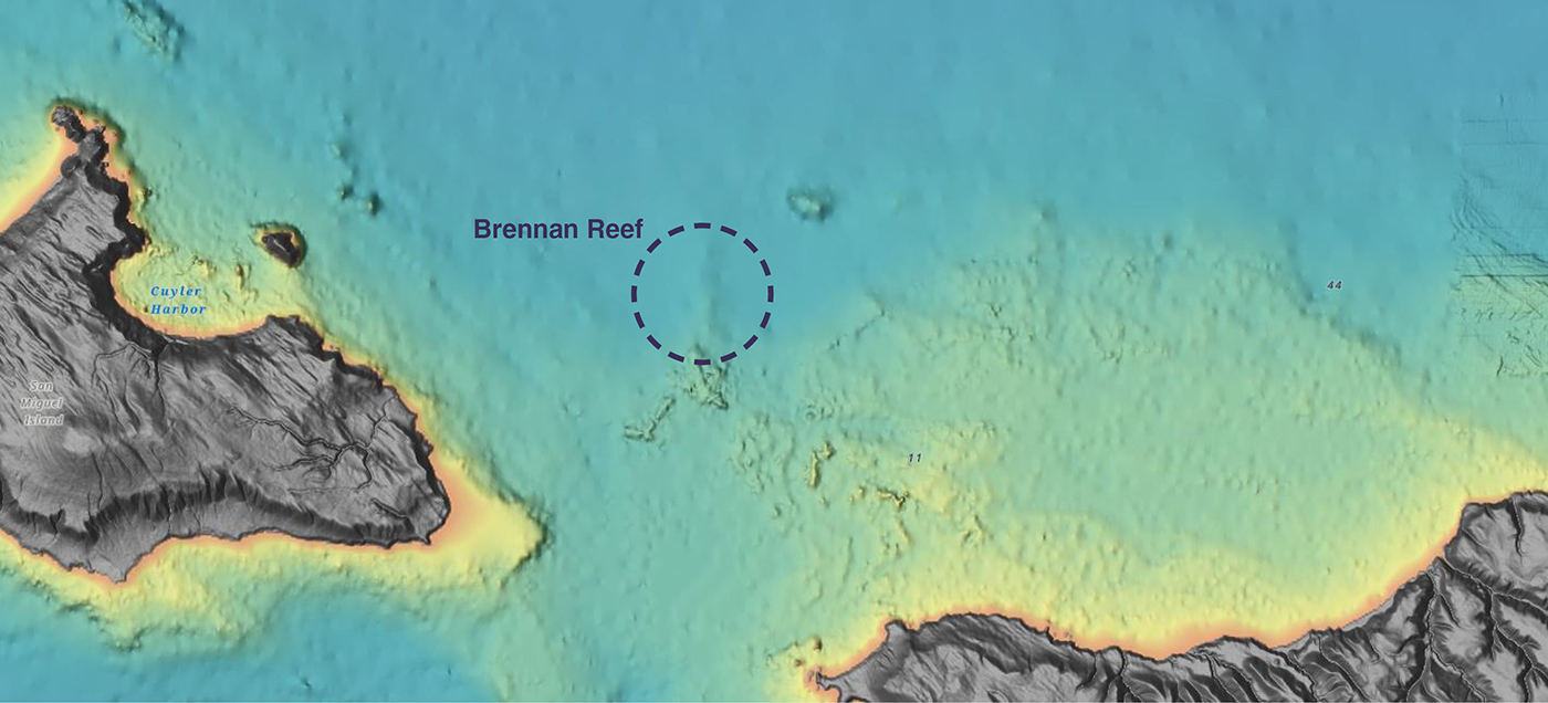
Brennan Reef, shown via shaded relief on the National Centers for Environmental Information bathymetric data viewer.

NOAA Corps Rear Adm. Richard T. “Rick” Brennan, recent director of NOAA’s Office of Coast Survey, was deeply dedicated to NOAA’s mission and was an integral part of building connections across NOAA programs to benefit coastal communities around the United States. One example of Rick’s leadership was the Southern California Seafloor Mapping Initiative, a partnership between Coast Survey, Office of National Marine Sanctuaries (ONMS), National Centers for Coastal Ocean Science (NCCOS) and National Marine Fisheries Service (NMFS). Among many important accomplishments of this coordinated mapping effort was the survey of a previously uncharted reef in Channel Islands National Marine Sanctuary. Through legislative action led by U.S. Congressman Salud Carbajal of California’s 24th District, this reef has been officially designated as “Brennan Reef.”

Continue reading “Naming Brennan Reef, a previously uncharted pinnacle in Channel Islands National Marine Sanctuary”