Model Upgrade: Global Extratropical Surge and Tide Operational Forecast System Upgraded to Version Two

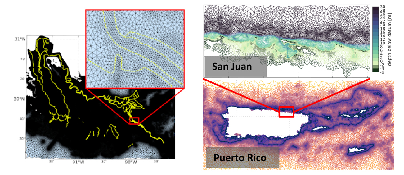
Screen captures of two new implementations of version two; federal levees along the Mississippi and flood plain inclusion for Puerto Rico.

In late July 2021, the Global Extratropical Surge and Tide Operational Forecast System (Global ESTOFS) upgrade to version two was implemented into operations on the National Weather Service’s (NWS) Weather and Climate Operational Supercomputing System (WCOSS). The modeling system provides forecast guidance for combined water levels caused by storm surge and tides globally, and is to our knowledge the highest resolution global operational storm surge modeling system available today. The forecast guidance from the model is used by forecasters at NWS Weather Forecast Offices (WFO) and the Ocean Prediction Center to generate their storm surge and flood forecasts during storms, including Nor’easters along the U.S. East Coast.

Continue reading “Model Upgrade: Global Extratropical Surge and Tide Operational Forecast System Upgraded to Version Two”

Introducing the Inland-Coastal Flooding Operational Guidance System (ICOGS)

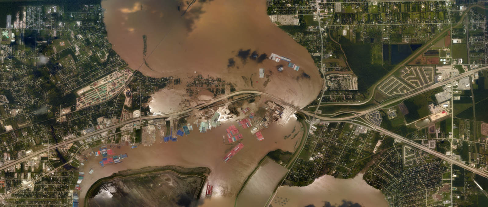
Aerial imagery of inland-coastal flooding during Hurricane Harvey, 2017 in Houston, Texas.

Where the river meets the sea can be both a turbulent and vulnerable space, particularly during strong storms when heavy precipitation and storm surge intersect. This intersection is known as “compound inland-coastal flooding,” and until now, had not been carefully studied and implemented in forecasting centers for public guidance due to its inherent complexity. NOAA’s Office of Coast Survey and the Virginia Institute of Marine Science recently developed the Inland-Coastal Flooding Operational Guidance System (ICOGS), the world’s first three-dimensional integrated compound inland-coastal flooding guidance system.

Continue reading “Introducing the Inland-Coastal Flooding Operational Guidance System (ICOGS)”