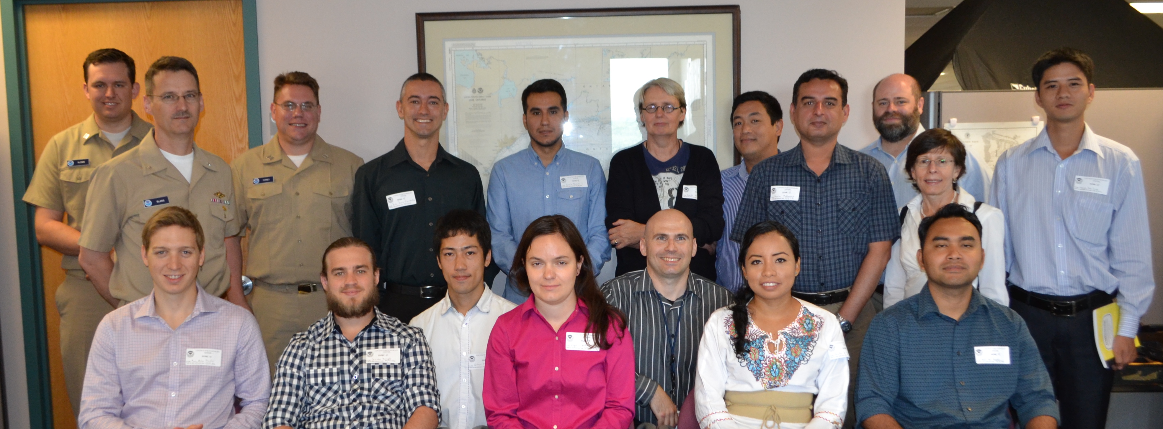
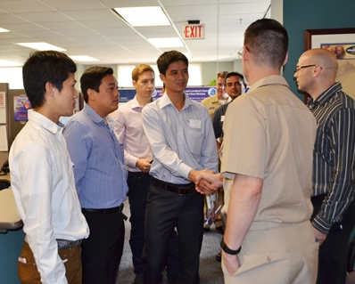
Cartographers and hydrographers from twelve countries gathered in Maryland last week to participate in a three-day NOAA workshop on evaluating the adequacy nautical charts. During the workshop, they learned techniques to evaluate the suitability of nautical chart products using chart quality information and publicly available information. The participants then generated key layers in adequacy assessments:
- Using automatic identification systems (AIS) information to classify navigational routes, they generated a vessel traffic layer.
- Comparing satellite-derived bathymetry or other surveys of opportunity with the existing chart, to identify areas that showed significant bathymetric changes, they generated a bathymetric difference layer.
- Classifying chart quality information, they generated a hydrographic characteristics layer.
By involving the guest cartographers and hydrographers in hands-on layer development and use, instructors demonstrated that the procedure is a low-cost tool that can help any hydrographic office assess the adequacy of its charts.
Participants came from Barbados, Brazil, Canada, Japan, Malaysia, Pakistan, Peru, Russia, Vietnam, Netherlands, Mexico, and Thailand. Instructor presentations and GIS laboratory exercises were provided by Dr. Shachak Pe’eri and Lt. Anthony Klemm.
Coast Survey is planning another workshop training session in July 2017.


